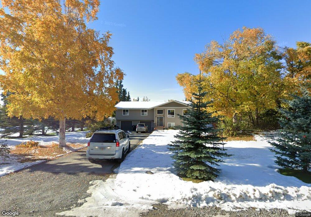
12820 Foster Rd Anchorage, AK 99516
Mid-Hillside NeighborhoodEstimated Value: $505,000 - $665,000
4
Beds
2
Baths
1,628
Sq Ft
$375/Sq Ft
Est. Value
About This Home
This home is located at 12820 Foster Rd, Anchorage, AK 99516 and is currently estimated at $610,160, approximately $374 per square foot. 12820 Foster Rd is a home located in Anchorage Municipality with nearby schools including Bear Valley Elementary School, Goldenview Middle School, and South Anchorage High School.
Ownership History
Date
Name
Owned For
Owner Type
Purchase Details
Closed on
Apr 28, 2010
Sold by
Walters David M
Bought by
Esping Anthony C
Current Estimated Value
Home Financials for this Owner
Home Financials are based on the most recent Mortgage that was taken out on this home.
Original Mortgage
$282,783
Outstanding Balance
$193,666
Interest Rate
5.5%
Mortgage Type
FHA
Estimated Equity
$416,494
Purchase Details
Closed on
Jan 12, 2000
Sold by
Short Daniel E
Bought by
Walters David M
Home Financials for this Owner
Home Financials are based on the most recent Mortgage that was taken out on this home.
Original Mortgage
$147,150
Interest Rate
7.83%
Mortgage Type
New Conventional
Create a Home Valuation Report for This Property
The Home Valuation Report is an in-depth analysis detailing your home's value as well as a comparison with similar homes in the area
Home Values in the Area
Average Home Value in this Area
Purchase History
| Date | Buyer | Sale Price | Title Company |
|---|---|---|---|
| Esping Anthony C | -- | Pnt | |
| Walters David M | -- | -- |
Source: Public Records
Mortgage History
| Date | Status | Borrower | Loan Amount |
|---|---|---|---|
| Open | Esping Anthony C | $282,783 | |
| Previous Owner | Walters David M | $147,150 |
Source: Public Records
Tax History Compared to Growth
Tax History
| Year | Tax Paid | Tax Assessment Tax Assessment Total Assessment is a certain percentage of the fair market value that is determined by local assessors to be the total taxable value of land and additions on the property. | Land | Improvement |
|---|---|---|---|---|
| 2025 | $6,731 | $582,300 | $105,200 | $477,100 |
| 2024 | $6,731 | $536,500 | $100,300 | $436,200 |
| 2023 | $7,233 | $477,400 | $96,500 | $380,900 |
| 2022 | $6,189 | $454,500 | $96,500 | $358,000 |
| 2021 | $7,194 | $436,800 | $96,500 | $340,300 |
| 2020 | $5,819 | $439,800 | $96,500 | $343,300 |
| 2019 | $5,441 | $418,900 | $96,500 | $322,400 |
| 2018 | $6,157 | $417,700 | $109,200 | $308,500 |
| 2017 | $6,004 | $415,800 | $109,200 | $306,600 |
| 2016 | $3,654 | $424,500 | $109,200 | $315,300 |
| 2015 | $3,654 | $420,200 | $105,200 | $315,000 |
| 2014 | $3,654 | $295,200 | $91,500 | $203,700 |
Source: Public Records
Map
Nearby Homes
- 12920 Hillside Dr
- 12531 Freitag Cir
- 6801 Teresa Cir
- 000 de Palatis Cir
- 12801 Midori Dr
- 6931 Sequoia Cir
- 6820 Gunnison Dr
- 7801 E 130th Ave
- L3 Patrick Rd
- 11840 Coughlan Way
- 11831 Moose Rd
- L1 Downey Finch Dr
- 13100 Ridgeview Dr
- 12855 Ginami St
- 6550 Rockridge Dr
- 8521 Spendlove Dr
- 14310 Pickett St
- 12240 Freedom Rd
- 5800 E 142nd Ave
- 5231 Huffman Rd
- 12840 Foster Rd
- 12800 Foster Rd
- 12821 Lupine Rd
- 12841 Lupine Rd
- 12801 Lupine Rd
- 12900 Foster Rd
- 12821 Foster
- 7200 S Park Dr
- 12841 Foster Rd
- 7200 South Park Dr
- 7101 South Park Dr
- 12901 Lupine Rd
- 7101 S Park Dr
- L20 Foster Rd
- 12901 Foster Rd
- 12920 Foster Rd
- 7051 South Park Dr
- 7051 S Park Dr
- 7261 South Park Dr
- 12921 Lupine Rd