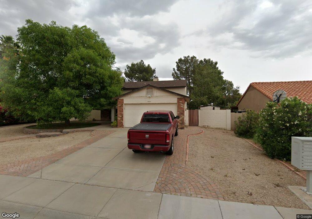
12821 N 72nd Dr Peoria, AZ 85381
Estimated Value: $433,105 - $514,000
--
Bed
4
Baths
1,227
Sq Ft
$397/Sq Ft
Est. Value
About This Home
This home is located at 12821 N 72nd Dr, Peoria, AZ 85381 and is currently estimated at $487,526, approximately $397 per square foot. 12821 N 72nd Dr is a home located in Maricopa County with nearby schools including Oakwood Elementary School, Cactus High School, and Legacy Traditional School - Glendale.
Ownership History
Date
Name
Owned For
Owner Type
Purchase Details
Closed on
Jul 24, 2007
Sold by
Witherspoon Jim O and Witherspoon Clara U
Bought by
Witherspoon Jim O and Witherspoon Clara U
Current Estimated Value
Purchase Details
Closed on
Jun 12, 2002
Sold by
Baker William P and Baker Carol Lee
Bought by
Witherspoon Jim O and Witherspoon Clara U
Home Financials for this Owner
Home Financials are based on the most recent Mortgage that was taken out on this home.
Original Mortgage
$120,000
Outstanding Balance
$50,631
Interest Rate
6.78%
Mortgage Type
New Conventional
Estimated Equity
$436,895
Create a Home Valuation Report for This Property
The Home Valuation Report is an in-depth analysis detailing your home's value as well as a comparison with similar homes in the area
Home Values in the Area
Average Home Value in this Area
Purchase History
| Date | Buyer | Sale Price | Title Company |
|---|---|---|---|
| Witherspoon Jim O | -- | Nations Title Agency | |
| Witherspoon Jim O | $150,000 | Chicago Title Insurance Co |
Source: Public Records
Mortgage History
| Date | Status | Borrower | Loan Amount |
|---|---|---|---|
| Open | Witherspoon Jim O | $120,000 | |
| Closed | Witherspoon Jim O | $22,500 |
Source: Public Records
Tax History Compared to Growth
Tax History
| Year | Tax Paid | Tax Assessment Tax Assessment Total Assessment is a certain percentage of the fair market value that is determined by local assessors to be the total taxable value of land and additions on the property. | Land | Improvement |
|---|---|---|---|---|
| 2025 | $1,469 | $19,397 | -- | -- |
| 2024 | $1,487 | $18,473 | -- | -- |
| 2023 | $1,487 | $33,330 | $6,660 | $26,670 |
| 2022 | $1,456 | $25,210 | $5,040 | $20,170 |
| 2021 | $1,559 | $22,270 | $4,450 | $17,820 |
| 2020 | $1,574 | $22,610 | $4,520 | $18,090 |
| 2019 | $1,523 | $20,550 | $4,110 | $16,440 |
| 2018 | $1,472 | $19,500 | $3,900 | $15,600 |
| 2017 | $1,473 | $17,100 | $3,420 | $13,680 |
| 2016 | $1,458 | $16,430 | $3,280 | $13,150 |
| 2015 | $1,361 | $16,450 | $3,290 | $13,160 |
Source: Public Records
Map
Nearby Homes
- 7301 W Sweetwater Ave
- 12709 N 72nd Ave
- 7191 W Surrey Ave
- 7233 W Corrine Dr
- 7220 W Larkspur Dr
- 7214 W Columbine Dr
- 7326 W Pershing Ave
- 7126 W Columbine Dr
- 7418 W Corrine Dr
- 13051 N 75th Dr
- 7537 W Dreyfus Dr
- 7544 W Dreyfus Dr
- 13629 N 71st Dr
- 7138 W Rue de Lamour
- 13676 N 73rd Dr Unit 3
- 7236 W Voltaire Ave
- 12677 N 77th Dr
- 7266 W Cherry Hills Dr
- 7725 W Dreyfus Dr
- 6845 W Charter Oak Rd
- 12901 N 72nd Dr
- 12811 N 72nd Dr
- 12828 N 72nd Ave
- 12908 N 72nd Ave
- 12818 N 72nd Ave
- 12911 N 72nd Dr
- 12801 N 72nd Dr
- 12820 N 72nd Dr
- 12810 N 72nd Dr
- 12900 N 72nd Dr
- 12918 N 72nd Ave
- 12808 N 72nd Ave
- 12800 N 72nd Dr
- 12910 N 72nd Dr
- 12731 N 72nd Dr
- 12921 N 72nd Dr
- 12728 N 72nd Ave
- 12869 N 73rd Ave
- 12730 N 72nd Dr
- 12928 N 72nd Ave