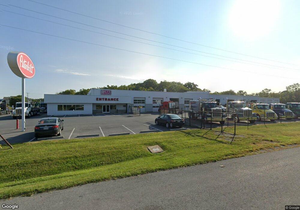
12821 Salem Ave Hagerstown, MD 21740
Collegiate Acres NeighborhoodEstimated Value: $4,935,056
--
Bed
--
Bath
35,872
Sq Ft
$138/Sq Ft
Est. Value
About This Home
This home is located at 12821 Salem Ave, Hagerstown, MD 21740 and is currently estimated at $4,935,056, approximately $137 per square foot. 12821 Salem Ave is a home located in Washington County with nearby schools including Maugansville Elementary School, Western Heights Middle School, and North Hagerstown High School.
Ownership History
Date
Name
Owned For
Owner Type
Purchase Details
Closed on
Jan 7, 2015
Sold by
Interstate Truck Equipment Inc
Bought by
Arscott Investments Lc
Current Estimated Value
Home Financials for this Owner
Home Financials are based on the most recent Mortgage that was taken out on this home.
Original Mortgage
$2,000,000
Outstanding Balance
$1,538,668
Interest Rate
3.96%
Mortgage Type
Commercial
Estimated Equity
$3,396,388
Create a Home Valuation Report for This Property
The Home Valuation Report is an in-depth analysis detailing your home's value as well as a comparison with similar homes in the area
Home Values in the Area
Average Home Value in this Area
Purchase History
| Date | Buyer | Sale Price | Title Company |
|---|---|---|---|
| Arscott Investments Lc | $2,500,000 | First American Title Ins Co |
Source: Public Records
Mortgage History
| Date | Status | Borrower | Loan Amount |
|---|---|---|---|
| Open | Arscott Investments Lc | $2,000,000 |
Source: Public Records
Tax History Compared to Growth
Tax History
| Year | Tax Paid | Tax Assessment Tax Assessment Total Assessment is a certain percentage of the fair market value that is determined by local assessors to be the total taxable value of land and additions on the property. | Land | Improvement |
|---|---|---|---|---|
| 2025 | $21,398 | $2,343,900 | $1,602,000 | $741,900 |
| 2024 | $21,398 | $2,342,333 | $0 | $0 |
| 2023 | $21,384 | $2,340,767 | $0 | $0 |
| 2022 | $21,370 | $2,339,200 | $1,602,000 | $737,200 |
| 2021 | $23,439 | $2,339,200 | $1,602,000 | $737,200 |
| 2020 | $21,835 | $2,339,200 | $1,602,000 | $737,200 |
| 2019 | $22,129 | $2,360,300 | $1,602,000 | $758,300 |
| 2018 | $22,129 | $2,360,300 | $1,602,000 | $758,300 |
| 2017 | $22,129 | $2,360,300 | $0 | $0 |
| 2016 | -- | $2,391,400 | $0 | $0 |
| 2015 | $51,863 | $2,391,400 | $0 | $0 |
| 2014 | $51,863 | $2,391,400 | $0 | $0 |
Source: Public Records
Map
Nearby Homes
- 12922 Salem Ave
- 12922 Nittany Lion Cir
- 390 Yorkshire Dr
- 13020 Yellow Jacket Rd
- 12834 Point Salem Rd
- 343 A&B Woodpoint Ave
- 343 Woodpoint Ave Unit A & B
- 341 A&B Woodpoint Ave
- 341 Woodpoint Ave Unit A & B
- 1362 Connecticut Ave
- 1361 Connecticut Ave
- 1355 Connecticut Ave
- 1328 Outer Dr
- 1337 Cedarbrook Dr
- 1349 Cedarwood Dr
- 1321 Marshall St
- 259 Daycotah Ave
- 1424 Outer Dr
- 252 Daycotah Ave
- 17734 Perlite Way
- 12835 Salem Ave
- 11708 Broadfording Rd
- 12839 Salem Ave
- 12900 Salem Ave
- 12904 Salem Ave
- 12909 Salem Ave
- 12908 Salem Ave
- 12913 Salem Ave
- 12910 Salem Ave
- 13002 Hoosier Ct
- 13004 Hoosier Ct
- 12916 Salem Ave
- 18303 Buckeye Cir
- 13006 Hoosier Ct
- 12919 Salem Ave
- 13001 Hoosier Ct
- 13003 Hoosier Ct
- 18028 Broadfording Rd
- 13010 Hoosier Ct
- 13005 Hoosier Ct