12823 Hobart St Cedar Lake, IN 46303
Estimated Value: $393,947 - $416,000
4
Beds
3
Baths
2,176
Sq Ft
$186/Sq Ft
Est. Value
About This Home
This home is located at 12823 Hobart St, Cedar Lake, IN 46303 and is currently estimated at $403,737, approximately $185 per square foot. 12823 Hobart St is a home located in Lake County with nearby schools including Douglas MacArthur Elementary School, Robert Taft Middle School, and Crown Point High School.
Ownership History
Date
Name
Owned For
Owner Type
Purchase Details
Closed on
Jun 15, 2006
Sold by
Hawk Development Corp
Bought by
Westphal Timothy S and Westphal Vickie L
Current Estimated Value
Home Financials for this Owner
Home Financials are based on the most recent Mortgage that was taken out on this home.
Original Mortgage
$180,000
Outstanding Balance
$106,145
Interest Rate
6.72%
Mortgage Type
Purchase Money Mortgage
Estimated Equity
$297,592
Create a Home Valuation Report for This Property
The Home Valuation Report is an in-depth analysis detailing your home's value as well as a comparison with similar homes in the area
Home Values in the Area
Average Home Value in this Area
Purchase History
| Date | Buyer | Sale Price | Title Company |
|---|---|---|---|
| Westphal Timothy S | -- | Ticor Scher |
Source: Public Records
Mortgage History
| Date | Status | Borrower | Loan Amount |
|---|---|---|---|
| Open | Westphal Timothy S | $180,000 |
Source: Public Records
Tax History Compared to Growth
Tax History
| Year | Tax Paid | Tax Assessment Tax Assessment Total Assessment is a certain percentage of the fair market value that is determined by local assessors to be the total taxable value of land and additions on the property. | Land | Improvement |
|---|---|---|---|---|
| 2024 | $3,539 | $346,300 | $48,400 | $297,900 |
| 2023 | $3,274 | $316,200 | $48,400 | $267,800 |
| 2022 | $3,274 | $294,000 | $48,400 | $245,600 |
| 2021 | $3,196 | $287,200 | $37,400 | $249,800 |
| 2020 | $3,069 | $276,000 | $37,400 | $238,600 |
| 2019 | $2,902 | $257,300 | $37,400 | $219,900 |
| 2018 | $3,185 | $248,900 | $37,400 | $211,500 |
| 2017 | $3,312 | $250,000 | $37,400 | $212,600 |
| 2016 | $3,229 | $237,000 | $37,400 | $199,600 |
| 2014 | $2,787 | $226,400 | $37,400 | $189,000 |
| 2013 | $2,867 | $226,200 | $37,400 | $188,800 |
Source: Public Records
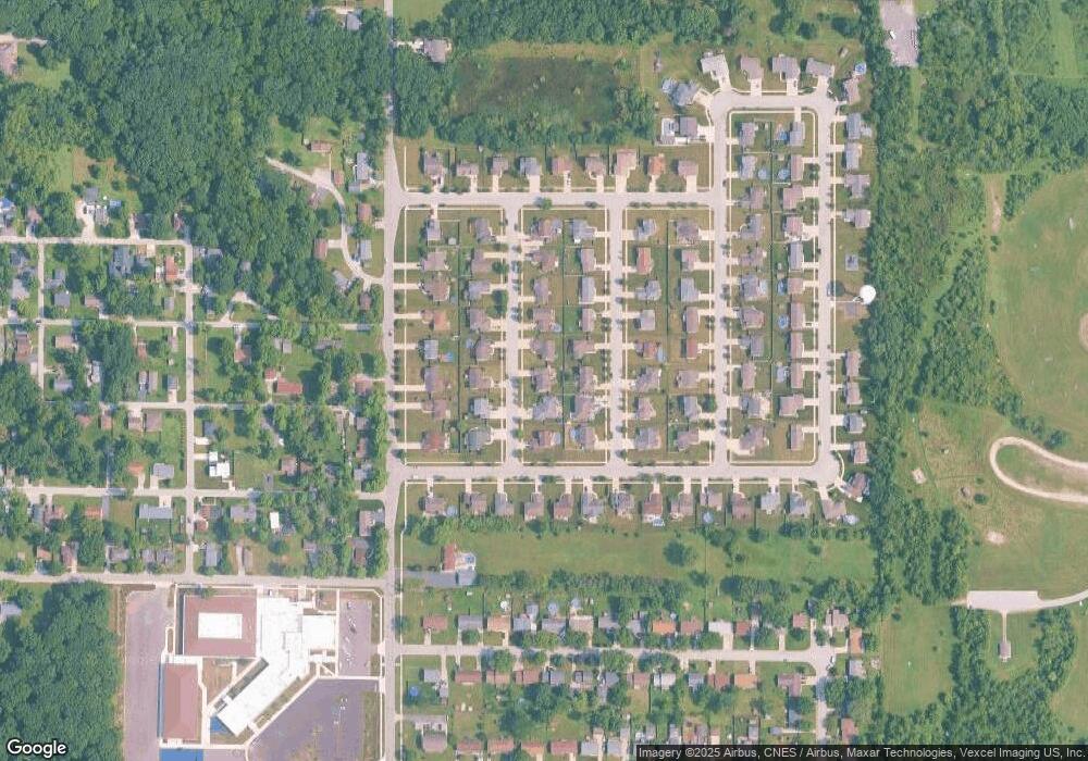
Map
Nearby Homes
- 13111 Hobart Ct
- 12917 Fulton St
- 13654 Freedom Way
- 13665 Freedom Way
- 7302 Morse Ln
- 13234 Lake Shore Dr Unit K202
- 13236 E Lakeshore Dr Unit J-302
- 13234 E Lakeshore Dr Unit 302
- 13244 E Lake Shore Dr Unit B-102
- 13317 Sherman St
- 13304 E Lakeshore Dr Unit 202
- 7912 Lake Shore Dr
- 12715 S Cline Ave
- 6711 W 134th Place
- 8024 W 127th Ave
- 13341 Fulton St
- 13425 Morse Place
- 8125 Lake Shore Dr Unit 5
- 8121 Lake Shore Dr Unit 6
- 12624 Sunnyside Place
- 12835 Hobart St
- 12815 Hobart St
- 12824 Stevenson St
- 12836 Stevenson St
- 12816 Stevenson St
- 12817 Stevenson St
- 12803 Hobart St
- 12822 Hobart St
- 12843 Hobart St
- 12834 Hobart St
- 12814 Hobart St
- 12802 Stevenson St
- 12842 Stevenson St
- 12800 Hobart St
- 12840 Hobart St
- 12751 Hobart St
- 12754 Stevenson St
- 12825 Stevenson St
- 12750 Hobart St
- 12837 Stevenson St