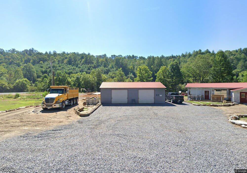
12825 U S 64 Murphy, NC 28906
Estimated Value: $103,125
Studio
--
Bath
2,382
Sq Ft
$43/Sq Ft
Est. Value
About This Home
This home is located at 12825 U S 64, Murphy, NC 28906 and is currently estimated at $103,125, approximately $43 per square foot. 12825 U S 64 is a home located in Cherokee County with nearby schools including Ranger Elementary/Middle School and Hiwassee Dam High School.
Ownership History
Date
Name
Owned For
Owner Type
Purchase Details
Closed on
Feb 21, 2018
Sold by
Mark Francis Gordon
Bought by
Krellner Joseph
Current Estimated Value
Purchase Details
Closed on
Sep 6, 2017
Sold by
Moye Shireley M
Bought by
Mark Francis Gordon and Francis Gordon Mark Jr Trust
Purchase Details
Closed on
Feb 23, 2010
Sold by
Harper Jack and Harper Patricia
Bought by
Moye Shirley M and Moye Wayne M
Purchase Details
Closed on
Mar 1, 2006
Sold by
Moye Shirley M and Moye Wayne L
Bought by
Harper Jack and Harper Patricia
Home Financials for this Owner
Home Financials are based on the most recent Mortgage that was taken out on this home.
Original Mortgage
$180,000
Interest Rate
6.05%
Mortgage Type
Seller Take Back
Create a Home Valuation Report for This Property
The Home Valuation Report is an in-depth analysis detailing your home's value as well as a comparison with similar homes in the area
Home Values in the Area
Average Home Value in this Area
Purchase History
| Date | Buyer | Sale Price | Title Company |
|---|---|---|---|
| Krellner Joseph | $55,000 | None Available | |
| Mark Francis Gordon | $35,000 | None Available | |
| Moye Shirley M | -- | -- | |
| Harper Jack | $230,000 | -- |
Source: Public Records
Mortgage History
| Date | Status | Borrower | Loan Amount |
|---|---|---|---|
| Previous Owner | Harper Jack | $180,000 |
Source: Public Records
Tax History
| Year | Tax Paid | Tax Assessment Tax Assessment Total Assessment is a certain percentage of the fair market value that is determined by local assessors to be the total taxable value of land and additions on the property. | Land | Improvement |
|---|---|---|---|---|
| 2025 | $871 | $124,380 | $0 | $0 |
| 2024 | $8 | $124,380 | $0 | $0 |
| 2023 | -- | $124,380 | $0 | $0 |
| 2022 | $0 | $56,340 | $0 | $0 |
| 2021 | $0 | $56,340 | $48,910 | $7,430 |
| 2020 | $1,188 | $56,340 | $0 | $0 |
| 2019 | $1,185 | $204,280 | $0 | $0 |
| 2018 | $1,185 | $204,280 | $0 | $0 |
| 2017 | $1,188 | $204,790 | $0 | $0 |
| 2016 | $1,188 | $204,790 | $0 | $0 |
| 2015 | $1,188 | $204,790 | $123,000 | $81,790 |
| 2012 | -- | $204,790 | $123,000 | $81,790 |
Source: Public Records
Map
Nearby Homes
- 5 Feather Fork Trail
- Lot 5 Birds View Ln
- 324 Golden Eagle Dr
- 385 Old Whitener Rd
- 12192 U S 64
- 218 Hunter Valley Rd
- LOT # Hunter Valley Rd
- 4 Hunter Valley Rd
- 199 Piper Dr
- 118 Mcintosh Way
- 87 Tuscarora Trail
- 1489 Hollybrook Dr
- TBD W Hills Dr
- 138 Wolf Print Ridge
- 151 Pinewood Dr
- Lt 41 Floris Mountain Rd
- Lot 41 Floris Mountain Rd
- 33 Hamlet Cir
- Lot 43 Laurel Ln
- Lot #43 Laurel Ln
- 12825 U S Highway 64
- 12895 U S 64
- 194 Holiness Church Rd
- 194 Holiness Church Rd
- 224 Holiness Church Rd
- 248 Holiness Church Rd
- Lot 17 Sunny Point Ridge
- 112 Tilson Rd
- 112 Tilson Rd
- 250 Holiness Church Rd
- 21 Sunny Point Rd
- 290 Holiness Church Rd
- 123 Freedom Pass Dr
- 144 Tilson Rd
- 420 Holiness Church Rd
- 101 Sunny Point Rd
- 11358 W Us Highway 64
- 371 Holiness Church Rd
- 12610 W Us Highway 64
- 12610 W Us Highway 64
Your Personal Tour Guide
Ask me questions while you tour the home.