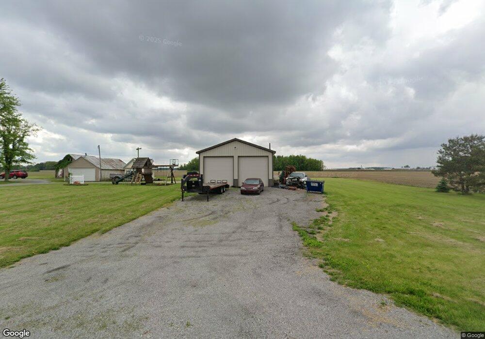
12825 W Union Rd Spencerville, OH 45887
Estimated Value: $196,000 - $235,000
2
Beds
1
Bath
975
Sq Ft
$219/Sq Ft
Est. Value
About This Home
This home is located at 12825 W Union Rd, Spencerville, OH 45887 and is currently estimated at $213,575, approximately $219 per square foot. 12825 W Union Rd is a home located in Allen County with nearby schools including Spencerville Elementary School, Spencerville Middle School, and Spencerville High School.
Ownership History
Date
Name
Owned For
Owner Type
Purchase Details
Closed on
Jul 31, 2020
Sold by
Stout Douglas E and Stout Teresa E
Bought by
Hasson Matthew J
Current Estimated Value
Home Financials for this Owner
Home Financials are based on the most recent Mortgage that was taken out on this home.
Original Mortgage
$112,000
Outstanding Balance
$99,535
Interest Rate
3.1%
Mortgage Type
New Conventional
Estimated Equity
$114,040
Purchase Details
Closed on
Dec 15, 1998
Sold by
Louth David
Bought by
Stout Douglas
Home Financials for this Owner
Home Financials are based on the most recent Mortgage that was taken out on this home.
Original Mortgage
$45,900
Interest Rate
11.09%
Mortgage Type
New Conventional
Purchase Details
Closed on
Nov 2, 1994
Sold by
Est Donald Louth
Bought by
Louth Russell W
Create a Home Valuation Report for This Property
The Home Valuation Report is an in-depth analysis detailing your home's value as well as a comparison with similar homes in the area
Home Values in the Area
Average Home Value in this Area
Purchase History
| Date | Buyer | Sale Price | Title Company |
|---|---|---|---|
| Hasson Matthew J | $140,000 | None Available | |
| Stout Douglas | $37,000 | -- | |
| Louth Russell W | $38,000 | -- |
Source: Public Records
Mortgage History
| Date | Status | Borrower | Loan Amount |
|---|---|---|---|
| Open | Hasson Matthew J | $112,000 | |
| Previous Owner | Stout Douglas | $45,900 |
Source: Public Records
Tax History Compared to Growth
Tax History
| Year | Tax Paid | Tax Assessment Tax Assessment Total Assessment is a certain percentage of the fair market value that is determined by local assessors to be the total taxable value of land and additions on the property. | Land | Improvement |
|---|---|---|---|---|
| 2024 | $2,230 | $69,590 | $14,880 | $54,710 |
| 2023 | $1,659 | $47,990 | $10,260 | $37,730 |
| 2022 | $1,702 | $47,150 | $10,260 | $36,890 |
| 2021 | $1,696 | $47,150 | $10,260 | $36,890 |
| 2020 | $1,163 | $31,370 | $9,980 | $21,390 |
| 2019 | $1,163 | $31,370 | $9,980 | $21,390 |
| 2018 | $1,118 | $31,370 | $9,980 | $21,390 |
| 2017 | $1,053 | $28,320 | $9,980 | $18,340 |
| 2016 | $1,057 | $28,320 | $9,980 | $18,340 |
| 2015 | $1,061 | $28,320 | $9,980 | $18,340 |
| 2014 | $1,061 | $29,410 | $9,980 | $19,430 |
| 2013 | $1,074 | $29,410 | $9,980 | $19,430 |
Source: Public Records
Map
Nearby Homes
- 14101 Allentown Rd
- 714 Briggs Ave Unit 1
- 21302 Masters Rd
- 425 N Main St
- 408 N Mulberry St
- 336 W 4th St
- 440 W 4th St
- 409 W 4th St
- 213 N Pearl St
- 316 E 4th St
- 123 Oakland Ave
- 406 S Mulberry St
- 521 S Broadway St
- 00 Kleinoeder Rd
- 1001 S Adams St
- 827 S Washington St
- 11630 Clearview Dr
- 634 S Clay St
- 516 S Main St
- 606 S Cass St
- 1530 Southworth Rd
- 12591 W Union Rd
- 12490 W Union Rd
- 13275 W Union Rd
- 1414 N Acadia Rd
- 1900 Southworth Rd
- 1965 Southworth Rd
- 1980 Southworth Rd
- 13372 W Union Rd
- 12530 Delaney Rd
- 12765 Delaney Rd
- 1795 N Acadia Rd
- 1775 N Acadia Rd
- 12575 Zion Church Rd
- 1930 N Acadia Rd
- 1000 N Acadia Rd
- 1015 N Acadia Rd