1283 Anderson Bridge Rd Scranton, SC 29591
Estimated Value: $198,000 - $265,095
3
Beds
2
Baths
1,705
Sq Ft
$135/Sq Ft
Est. Value
About This Home
This home is located at 1283 Anderson Bridge Rd, Scranton, SC 29591 and is currently estimated at $229,524, approximately $134 per square foot. 1283 Anderson Bridge Rd is a home located in Florence County with nearby schools including Ronald E. McNair Junior High School and Lake City High School.
Ownership History
Date
Name
Owned For
Owner Type
Purchase Details
Closed on
Apr 13, 2005
Sold by
Marcum David M
Bought by
Marcum David M
Current Estimated Value
Purchase Details
Closed on
Jun 5, 2002
Sold by
Evans Richard R
Bought by
Evans Richard R and Evans Katherine D
Create a Home Valuation Report for This Property
The Home Valuation Report is an in-depth analysis detailing your home's value as well as a comparison with similar homes in the area
Home Values in the Area
Average Home Value in this Area
Purchase History
| Date | Buyer | Sale Price | Title Company |
|---|---|---|---|
| Marcum David M | -- | -- | |
| Evans Richard R | -- | -- |
Source: Public Records
Tax History Compared to Growth
Tax History
| Year | Tax Paid | Tax Assessment Tax Assessment Total Assessment is a certain percentage of the fair market value that is determined by local assessors to be the total taxable value of land and additions on the property. | Land | Improvement |
|---|---|---|---|---|
| 2024 | $432 | $8,092 | $1,022 | $7,070 |
| 2023 | $404 | $5,884 | $1,023 | $4,861 |
| 2022 | $542 | $5,884 | $1,023 | $4,861 |
| 2021 | $413 | $6,020 | $0 | $0 |
| 2020 | $550 | $6,020 | $0 | $0 |
| 2019 | $554 | $5,884 | $1,023 | $4,861 |
| 2018 | $491 | $6,020 | $0 | $0 |
| 2017 | $506 | $6,020 | $0 | $0 |
| 2016 | $419 | $6,020 | $0 | $0 |
| 2015 | $417 | $6,020 | $0 | $0 |
| 2014 | $381 | $5,884 | $1,023 | $4,861 |
Source: Public Records
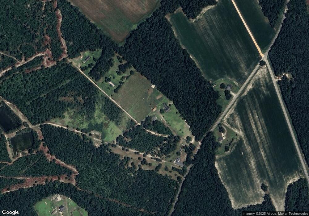
Map
Nearby Homes
- 75 acres N Old Georgetown Rd
- 2995 Fish Hawk Ln
- Tract 4 State Road S-21-881
- Red Barn Tract State Road S-21-881
- Tract 3 State Road S-21-881
- Tract 6 State Road S-21-881
- 1432 S Friendfield Rd
- 1914 N Old Georgetown Rd
- 283 E Main St
- 2004 Timmons Rd
- 2008 Timmons Rd
- 2018 Timmons Rd
- 2002 Timmons Rd
- 2000 Timmons Rd
- 2016 Timmons Rd
- 2014 Timmons Rd
- TBD U S Route 52
- 4013 U S 52
- 1677 Cockfield Rd Unit LOT 8
- 1677 Cockfield Rd Unit LOT 10
- 1309 Anderson Bridge Rd
- 3732 Worrell Ln
- 2516 W Highway 378 Hannah
- 1195 Anderson Bridge Rd
- 1181 Anderson Bridge Rd
- 1189 Anderson Bridge Rd
- 3821 N Old Georgetown Rd
- 3825 N Old Georgetown Rd
- 3839 N Old Georgetown Rd
- 3510 N Old Georgetown Rd
- 3861 Lockwood Rd
- 3840 N Old Georgetown Rd
- 1163 Anderson Bridge Rd
- 3859 N Old Georgetown Rd
- 3913 Lockwood Rd
- 3903 N Old Georgetown Rd
- 1159 Anderson Bridge Rd
- 3411 N Old Georgetown Rd
- 3927 Lockwood Rd
- 3921 N Old Georgetown Rd