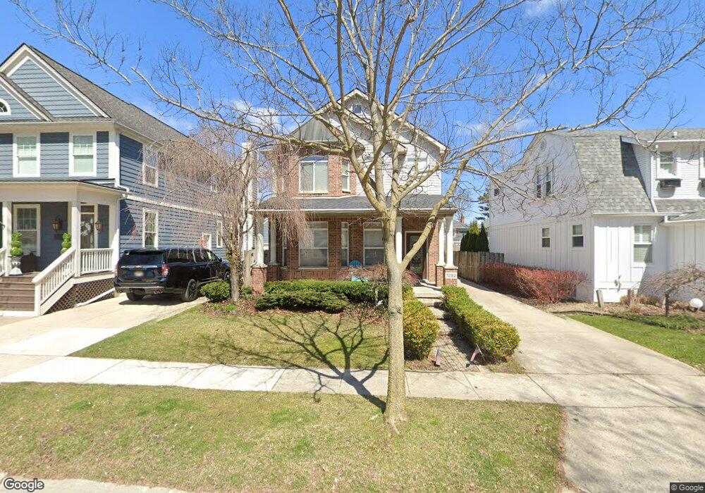
1283 Bird Ave Unit Bldg-Unit Birmingham, MI 48009
Estimated Value: $855,399 - $1,154,000
3
Beds
4
Baths
2,287
Sq Ft
$424/Sq Ft
Est. Value
About This Home
This home is located at 1283 Bird Ave Unit Bldg-Unit, Birmingham, MI 48009 and is currently estimated at $969,600, approximately $423 per square foot. 1283 Bird Ave Unit Bldg-Unit is a home located in Oakland County with nearby schools including Pierce Elementary School, Derby Middle School, and Ernest W. Seaholm High School.
Ownership History
Date
Name
Owned For
Owner Type
Purchase Details
Closed on
Sep 16, 2016
Sold by
Jackson Olivia and Jackson Aaron P
Bought by
Jackson Olivia and Jackson Aaron P
Current Estimated Value
Purchase Details
Closed on
Sep 4, 2009
Sold by
Jackson Olivia
Bought by
Jackson Olivia and Jackson Aaron P
Purchase Details
Closed on
Aug 7, 2009
Sold by
Margolis Michael and Margolis Amy
Bought by
Jackson Olivia
Purchase Details
Closed on
Jun 29, 2007
Sold by
Trowbridge Homes Llc
Bought by
Margolis Michael K and Margolis Amy
Purchase Details
Closed on
Jul 21, 2003
Sold by
Attia Group Llc
Bought by
Margolis Michael
Purchase Details
Closed on
Jul 15, 2003
Sold by
Attia George and Attia Sally
Bought by
Attia Group Llc
Purchase Details
Closed on
Sep 13, 2002
Sold by
Humitz Gregory
Bought by
Attia George
Create a Home Valuation Report for This Property
The Home Valuation Report is an in-depth analysis detailing your home's value as well as a comparison with similar homes in the area
Home Values in the Area
Average Home Value in this Area
Purchase History
| Date | Buyer | Sale Price | Title Company |
|---|---|---|---|
| Jackson Olivia | -- | None Available | |
| Jackson Olivia | -- | None Available | |
| Jackson Olivia | $430,000 | Interstate Title Inc | |
| Margolis Michael K | $385,000 | Lawyers Title Insurance Co | |
| Margolis Michael | $527,000 | Philip R Seaver Title Co Inc | |
| Attia Group Llc | -- | Philip R Seaver Title Co Inc | |
| Attia George | $194,000 | -- |
Source: Public Records
Tax History Compared to Growth
Tax History
| Year | Tax Paid | Tax Assessment Tax Assessment Total Assessment is a certain percentage of the fair market value that is determined by local assessors to be the total taxable value of land and additions on the property. | Land | Improvement |
|---|---|---|---|---|
| 2024 | $10,557 | $366,380 | $0 | $0 |
| 2023 | $10,075 | $344,550 | $0 | $0 |
| 2022 | $12,145 | $329,090 | $0 | $0 |
| 2021 | $11,840 | $318,110 | $0 | $0 |
| 2020 | $9,389 | $316,960 | $0 | $0 |
| 2019 | $11,632 | $307,350 | $0 | $0 |
| 2018 | $11,373 | $306,580 | $0 | $0 |
| 2017 | $11,210 | $305,150 | $0 | $0 |
| 2016 | $11,162 | $304,330 | $0 | $0 |
| 2015 | -- | $267,000 | $0 | $0 |
| 2014 | -- | $241,680 | $0 | $0 |
| 2011 | -- | $192,490 | $0 | $0 |
Source: Public Records
Map
Nearby Homes
- 15588 Kirkshire Ave
- 1268 Davis Ave
- 15654 Kirkshire Ave
- 870 Davis Ave
- 15590 Buckingham Ave
- 1135 Chapin Ave
- 15858 Kirkshire Ave
- 1458 Chapin Ave
- 1106 Bennaville Ave
- 1368 Bennaville Ave
- 1552 Bennaville Ave
- 4402 Arlington Dr
- 1427 Humphrey Ave
- 251 E 14 Mile Rd
- 1717 Penistone St
- 350 Catalpa Dr
- 150 Bird Ave Unit 20
- 1292 Cole St
- 4164 Seminole Dr
- 16281 Buckingham Ave