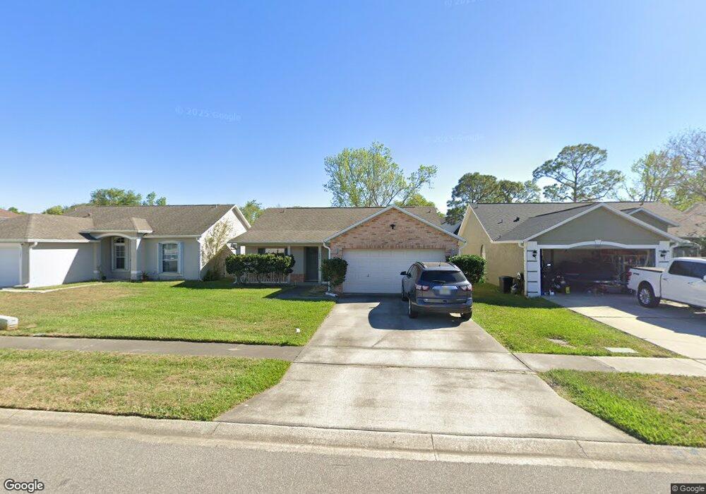
1283 Harms Way Port Orange, FL 32129
Willow Run NeighborhoodEstimated Value: $294,720 - $327,000
3
Beds
2
Baths
1,359
Sq Ft
$229/Sq Ft
Est. Value
About This Home
This home is located at 1283 Harms Way, Port Orange, FL 32129 and is currently estimated at $311,430, approximately $229 per square foot. 1283 Harms Way is a home located in Volusia County with nearby schools including Horizon Elementary School, Atlantic High School, and Silver Sands Middle School.
Ownership History
Date
Name
Owned For
Owner Type
Purchase Details
Closed on
Apr 28, 2006
Sold by
Kelley Timothy L and Kelley Angela M
Bought by
Martin Kelii Douglas and Martin Mary Victoria
Current Estimated Value
Home Financials for this Owner
Home Financials are based on the most recent Mortgage that was taken out on this home.
Original Mortgage
$227,000
Outstanding Balance
$130,565
Interest Rate
6.28%
Mortgage Type
Fannie Mae Freddie Mac
Estimated Equity
$180,865
Purchase Details
Closed on
Mar 7, 2001
Sold by
Masterpiece Homes Inc
Bought by
Kelley Timothy L and Kelley Angela M
Purchase Details
Closed on
Nov 21, 2000
Sold by
Dave Robinson Bldr & Dev Inc
Bought by
Masterpiece Homes Inc
Create a Home Valuation Report for This Property
The Home Valuation Report is an in-depth analysis detailing your home's value as well as a comparison with similar homes in the area
Home Values in the Area
Average Home Value in this Area
Purchase History
| Date | Buyer | Sale Price | Title Company |
|---|---|---|---|
| Martin Kelii Douglas | $227,000 | Aaa Title Insurance Corp Inc | |
| Kelley Timothy L | $118,400 | -- | |
| Masterpiece Homes Inc | $27,000 | -- |
Source: Public Records
Mortgage History
| Date | Status | Borrower | Loan Amount |
|---|---|---|---|
| Open | Martin Kelii Douglas | $227,000 |
Source: Public Records
Tax History Compared to Growth
Tax History
| Year | Tax Paid | Tax Assessment Tax Assessment Total Assessment is a certain percentage of the fair market value that is determined by local assessors to be the total taxable value of land and additions on the property. | Land | Improvement |
|---|---|---|---|---|
| 2025 | $1,347 | $118,464 | -- | -- |
| 2024 | $1,347 | $115,126 | -- | -- |
| 2023 | $1,347 | $111,773 | $0 | $0 |
| 2022 | $1,283 | $108,517 | $0 | $0 |
| 2021 | $1,295 | $105,356 | $0 | $0 |
| 2020 | $1,259 | $103,901 | $0 | $0 |
| 2019 | $1,212 | $101,565 | $0 | $0 |
| 2018 | $1,204 | $99,671 | $0 | $0 |
| 2017 | $1,199 | $97,621 | $0 | $0 |
| 2016 | $1,186 | $95,613 | $0 | $0 |
| 2015 | $1,217 | $94,948 | $0 | $0 |
| 2014 | $1,218 | $94,194 | $0 | $0 |
Source: Public Records
Map
Nearby Homes
- 1300 Harms Way
- 1075 Horizon View Blvd
- 1086 Donnell Dr
- 1077 Willow Wood Dr
- 1118 Kane Dr
- 1057 Azalea Pointe Dr
- 1132 Loblolly Ln
- 1106 Blueberry Dr
- 3830 Bourbon St
- 3859 Calliope Ave
- 3852 Bourbon St
- 1736 Dunlawton Ave
- 1245 Thomas Dr
- 3896 Esplanade Ave
- 1248 Girog Ave
- 3875 Esplanade Ave
- 993 Appleview Way
- 5912 Plainview Dr
- 1175 Tracy Dr
- 4041 S Waterbridge Cir
- 1285 Harms Way
- 1281 Harms Way
- 1287 Harms Way
- 1279 Harms Way
- 1289 Harms Way
- 1282 Harms Way
- 1280 Harms Way
- 1284 Harms Way
- 1278 Harms Way
- 1286 Harms Way
- 1291 Harms Way
- 1275 Harms Way
- 1276 Harms Way
- 1288 Harms Way
- 1293 Harms Way
- 1273 Harms Way
- 1082 Horizon View Blvd
- 1084 Horizon View Blvd
- 1080 Horizon View Blvd