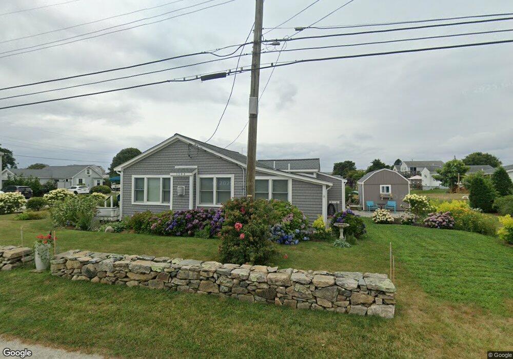
1283 Horseneck Rd Westport, MA 02790
South Westport NeighborhoodEstimated Value: $851,723 - $886,000
3
Beds
1
Bath
1,094
Sq Ft
$790/Sq Ft
Est. Value
About This Home
This home is located at 1283 Horseneck Rd, Westport, MA 02790 and is currently estimated at $863,908, approximately $789 per square foot. 1283 Horseneck Rd is a home located in Bristol County with nearby schools including Alice A. Macomber Primary School, Westport Elementary School, and Westport Middle-High School.
Ownership History
Date
Name
Owned For
Owner Type
Purchase Details
Closed on
Jun 30, 2025
Sold by
Oleary Joanne
Bought by
Joanne O Leary 2025 Ret and Oleary
Current Estimated Value
Purchase Details
Closed on
Aug 18, 2010
Sold by
Phelan Carol J
Bought by
Oleary Joanne and Hickey James H
Create a Home Valuation Report for This Property
The Home Valuation Report is an in-depth analysis detailing your home's value as well as a comparison with similar homes in the area
Home Values in the Area
Average Home Value in this Area
Purchase History
| Date | Buyer | Sale Price | Title Company |
|---|---|---|---|
| Joanne O Leary 2025 Ret | -- | -- | |
| Joanne O Leary 2025 Ret | -- | -- | |
| Joanne O Leary 2025 Ret | -- | -- | |
| Oleary Joanne | $450,000 | -- | |
| Oleary Joanne | $450,000 | -- |
Source: Public Records
Mortgage History
| Date | Status | Borrower | Loan Amount |
|---|---|---|---|
| Previous Owner | Oleary Joanne | $215,000 | |
| Previous Owner | Oleary Joanne | $205,400 | |
| Previous Owner | Oleary Joanne | $48,808 |
Source: Public Records
Tax History Compared to Growth
Tax History
| Year | Tax Paid | Tax Assessment Tax Assessment Total Assessment is a certain percentage of the fair market value that is determined by local assessors to be the total taxable value of land and additions on the property. | Land | Improvement |
|---|---|---|---|---|
| 2025 | $5,780 | $775,800 | $590,000 | $185,800 |
| 2024 | $5,648 | $730,600 | $546,600 | $184,000 |
| 2023 | $5,610 | $687,500 | $520,600 | $166,900 |
| 2022 | $5,595 | $659,800 | $520,600 | $139,200 |
| 2021 | $5,299 | $614,700 | $473,300 | $141,400 |
| 2020 | $5,023 | $595,800 | $454,400 | $141,400 |
| 2019 | $4,808 | $581,400 | $443,800 | $137,600 |
| 2018 | $3,383 | $414,100 | $293,000 | $121,100 |
| 2017 | $3,214 | $403,200 | $293,000 | $110,200 |
| 2016 | $3,199 | $404,400 | $298,700 | $105,700 |
| 2015 | $3,029 | $382,000 | $298,700 | $83,300 |
Source: Public Records
Map
Nearby Homes
- 238-242 E Beach Rd
- Lot 2 Horseneck Rd
- 0 Reed Rd (Ss)
- 1702 Drift Rd
- 1702J Drift Rd
- 1881 Main Rd
- Lot 2E Horseneck Rd
- 99 Sylvia Ln
- 1580 Main Rd
- Lot 1 Rafael Rd
- 332 Division Rd
- 61 Pardon Hill Rd
- 2 Slades Farm Ln
- 12 Meadow Shores Rd
- 24 White Alder Way
- 1346 Main Rd Unit B
- 482 Smith Neck Rd
- 24 Eagle Dr
- 304 Brayton Point Rd
- 19 Seabury Ln