1283 McAllistar Dr Unit 3B Locust Grove, GA 30248
Estimated Value: $415,000 - $467,000
4
Beds
3
Baths
2,606
Sq Ft
$168/Sq Ft
Est. Value
About This Home
This home is located at 1283 McAllistar Dr Unit 3B, Locust Grove, GA 30248 and is currently estimated at $437,845, approximately $168 per square foot. 1283 McAllistar Dr Unit 3B is a home located in Henry County with nearby schools including Bethlehem Elementary School, Luella Middle School, and Luella High School.
Ownership History
Date
Name
Owned For
Owner Type
Purchase Details
Closed on
Jun 24, 2025
Sold by
Davis Annie M
Bought by
Annie Davis Family Trust and Davis Annie Trust
Current Estimated Value
Purchase Details
Closed on
Sep 5, 2013
Sold by
Davis Anne M
Bought by
Davis Annie M
Purchase Details
Closed on
May 10, 2007
Sold by
Rhb Inc
Bought by
Davis Anne M
Home Financials for this Owner
Home Financials are based on the most recent Mortgage that was taken out on this home.
Original Mortgage
$294,400
Interest Rate
6.12%
Mortgage Type
New Conventional
Create a Home Valuation Report for This Property
The Home Valuation Report is an in-depth analysis detailing your home's value as well as a comparison with similar homes in the area
Home Values in the Area
Average Home Value in this Area
Purchase History
| Date | Buyer | Sale Price | Title Company |
|---|---|---|---|
| Annie Davis Family Trust | -- | -- | |
| Davis Annie M | -- | -- | |
| Davis Anne M | $309,900 | -- |
Source: Public Records
Mortgage History
| Date | Status | Borrower | Loan Amount |
|---|---|---|---|
| Previous Owner | Davis Anne M | $294,400 |
Source: Public Records
Tax History Compared to Growth
Tax History
| Year | Tax Paid | Tax Assessment Tax Assessment Total Assessment is a certain percentage of the fair market value that is determined by local assessors to be the total taxable value of land and additions on the property. | Land | Improvement |
|---|---|---|---|---|
| 2025 | $1,836 | $175,040 | $24,000 | $151,040 |
| 2024 | $1,836 | $163,160 | $24,000 | $139,160 |
| 2023 | $1,387 | $166,360 | $24,000 | $142,360 |
| 2022 | $2,267 | $151,120 | $20,000 | $131,120 |
| 2021 | $1,758 | $129,560 | $20,000 | $109,560 |
| 2020 | $2,460 | $119,280 | $16,000 | $103,280 |
| 2019 | $2,331 | $114,760 | $16,000 | $98,760 |
| 2018 | $4,001 | $110,320 | $16,000 | $94,320 |
| 2016 | $3,588 | $99,560 | $18,000 | $81,560 |
| 2015 | $3,441 | $93,280 | $14,000 | $79,280 |
| 2014 | $3,112 | $84,120 | $14,000 | $70,120 |
Source: Public Records
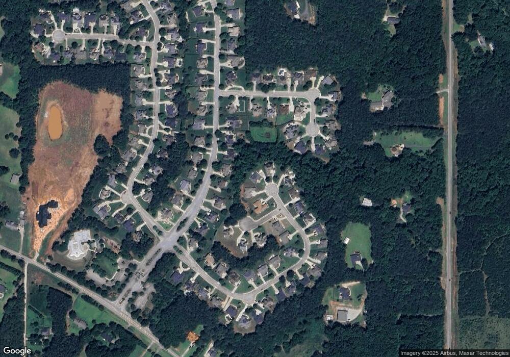
Map
Nearby Homes
- 1020 Eagles Brooke Dr
- 1276 McAllistar Dr
- 1258 McAllistar Dr
- 1405 Landon Dr
- 1509 Royce Dr
- 1615 Avery Dr
- 129 Kenney Way
- 248 Nesta Grove
- 244 Nesta Grove
- 783 Lester Mill Rd
- Meridian II Plan at Kingston
- Wagener Plan at Kingston
- Lauren II Plan at Kingston
- 512 Dolce Rd
- Wynwood Plan at Kingston
- Clarity Plan at Kingston
- Henry II Plan at Kingston
- Rosemary II Plan at Kingston
- 238 Linford Dr
- 211 Linford Dr
- 1284 McAllistar Dr Unit 3B
- 1281 McAllistar Dr
- 1028 Eagles Brooke Dr
- 1028 Eagles Brooke Dr Unit 1
- 1030 Eagles Brooke Dr
- 1026 Eagles Brooke Dr
- 1032 Eagles Brooke Dr
- 1279 McAllistar Dr
- 1282 McAllistar Dr
- 1024 Eagles Brooke Dr
- 1024 Eagles Brooke Dr
- 1024 Eagles Brooke Dr Unit 1
- 0 Strandhill Ct Unit 3240596
- 1420 Landon Dr
- 1034 Eagles Brooke Dr
- 1280 McAllistar Dr
- 1418 Landon Dr
- 1278 McAllistar Dr
- 1278 McAllistar Dr Unit 3A
- 1402 Landon Dr