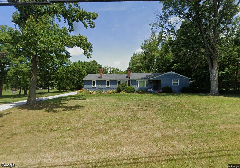
1283 Mount Pleasant St NE Canton, OH 44721
Estimated Value: $191,000 - $236,000
2
Beds
1
Bath
1,183
Sq Ft
$183/Sq Ft
Est. Value
About This Home
This home is located at 1283 Mount Pleasant St NE, Canton, OH 44721 and is currently estimated at $217,043, approximately $183 per square foot. 1283 Mount Pleasant St NE is a home located in Stark County with nearby schools including Lake Middle/High School.
Ownership History
Date
Name
Owned For
Owner Type
Purchase Details
Closed on
Jun 21, 2012
Sold by
Hurst John
Bought by
Blair Tiffany M
Current Estimated Value
Home Financials for this Owner
Home Financials are based on the most recent Mortgage that was taken out on this home.
Original Mortgage
$117,150
Outstanding Balance
$89,484
Interest Rate
6.17%
Mortgage Type
New Conventional
Estimated Equity
$127,559
Purchase Details
Closed on
Mar 7, 2001
Sold by
Hurst Kim and Hurst Kimberly A
Bought by
Hurst John
Purchase Details
Closed on
Nov 18, 1998
Sold by
Barlow Alice M
Bought by
Hurst John and Hurst Kim
Home Financials for this Owner
Home Financials are based on the most recent Mortgage that was taken out on this home.
Original Mortgage
$100,000
Interest Rate
6.81%
Mortgage Type
Seller Take Back
Create a Home Valuation Report for This Property
The Home Valuation Report is an in-depth analysis detailing your home's value as well as a comparison with similar homes in the area
Home Values in the Area
Average Home Value in this Area
Purchase History
| Date | Buyer | Sale Price | Title Company |
|---|---|---|---|
| Blair Tiffany M | -- | None Available | |
| Hurst John | -- | -- | |
| Hurst John | $100,000 | -- |
Source: Public Records
Mortgage History
| Date | Status | Borrower | Loan Amount |
|---|---|---|---|
| Open | Blair Tiffany M | $117,150 | |
| Previous Owner | Hurst John | $100,000 |
Source: Public Records
Tax History Compared to Growth
Tax History
| Year | Tax Paid | Tax Assessment Tax Assessment Total Assessment is a certain percentage of the fair market value that is determined by local assessors to be the total taxable value of land and additions on the property. | Land | Improvement |
|---|---|---|---|---|
| 2025 | -- | $56,350 | $31,290 | $25,060 |
| 2024 | -- | $56,350 | $31,290 | $25,060 |
| 2023 | $2,043 | $43,650 | $19,110 | $24,540 |
| 2022 | $1,998 | $42,560 | $19,110 | $23,450 |
| 2021 | $1,998 | $42,560 | $19,110 | $23,450 |
| 2020 | $2,129 | $40,190 | $17,890 | $22,300 |
| 2019 | $2,109 | $40,200 | $17,900 | $22,300 |
| 2018 | $2,111 | $40,200 | $17,900 | $22,300 |
| 2017 | $2,017 | $35,670 | $15,470 | $20,200 |
| 2016 | $2,020 | $35,670 | $15,470 | $20,200 |
| 2015 | $2,019 | $35,670 | $15,470 | $20,200 |
| 2014 | $1,676 | $30,800 | $13,370 | $17,430 |
| 2013 | $838 | $30,800 | $13,370 | $17,430 |
Source: Public Records
Map
Nearby Homes
- 8459 Whitmer Ave NE
- 7272 Ashburton Cir NW
- 8994 Kent Ave NE
- 7455 Brushmore Ave NW
- 2315 Old Elm St NE
- 8275 Rolling Hill Ave NW
- 2231 Lovers Ln NE
- 8271 Pheasant Ave NW
- 9393 Kent Ave NE
- 8314 Sapphire Ave NE
- 1216 Marquardt Ave NW
- Tupelo Plan at Sparwood Farms
- Cedar Plan at Sparwood Farms
- Elder Plan at Sparwood Farms
- Aspen Plan at Sparwood Farms
- 2211 Markley St NW
- 1141 Las Olas Blvd NW
- 2623 Notre Dame St NE
- 1369 Gate House St NE
- 8098 Diamond Park Ave NE
- 1301 Mount Pleasant St NE
- 1323 Mount Pleasant St NE
- 1231 Mount Pleasant St NE
- 1340 Mount Pleasant St NE
- 1209 Mount Pleasant St NE
- 1306 Mount Pleasant St NE
- 1260 Mount Pleasant St NE
- 1391 Mount Pleasant St NE
- 1415 Mount Pleasant St NE
- 8280 Kent Ave NE
- 8340 Kent Ave NE
- 8250 Kent Ave NE
- 8320 Kent Ave NE
- 1454 Mount Pleasant St NE
- 8210 Kent Ave NE
- 1443 Mount Pleasant St NE
- 8271 Kent Ave NE
- 8315 Kent Ave NE
- 8327 Kent Ave NE
- 8343 Kent Ave NE