1283 Rossman Dairy Rd Moultrie, GA 31768
Estimated Value: $250,000 - $1,348,845
--
Bed
2
Baths
1,856
Sq Ft
$338/Sq Ft
Est. Value
About This Home
This home is located at 1283 Rossman Dairy Rd, Moultrie, GA 31768 and is currently estimated at $627,948, approximately $338 per square foot. 1283 Rossman Dairy Rd is a home located in Colquitt County with nearby schools including Funston Elementary School, C.A. Gray Junior High School, and Willie J. Williams Middle School.
Ownership History
Date
Name
Owned For
Owner Type
Purchase Details
Closed on
Oct 23, 2024
Sold by
United National Bank
Bought by
Bobo Charles Eugene
Current Estimated Value
Home Financials for this Owner
Home Financials are based on the most recent Mortgage that was taken out on this home.
Original Mortgage
$1,567,500
Outstanding Balance
$1,529,583
Interest Rate
6.08%
Mortgage Type
Mortgage Modification
Estimated Equity
-$901,635
Purchase Details
Closed on
May 7, 2024
Sold by
Sparkman Burma Jean
Bought by
United National Bank
Purchase Details
Closed on
Mar 30, 2023
Sold by
Sparkman Burma Jean
Bought by
Sparkman Ricky Ray
Create a Home Valuation Report for This Property
The Home Valuation Report is an in-depth analysis detailing your home's value as well as a comparison with similar homes in the area
Home Values in the Area
Average Home Value in this Area
Purchase History
| Date | Buyer | Sale Price | Title Company |
|---|---|---|---|
| Bobo Charles Eugene | $1,550,000 | -- | |
| United National Bank | -- | -- | |
| Sparkman Ricky Ray | -- | -- |
Source: Public Records
Mortgage History
| Date | Status | Borrower | Loan Amount |
|---|---|---|---|
| Open | Bobo Charles Eugene | $1,567,500 |
Source: Public Records
Tax History Compared to Growth
Tax History
| Year | Tax Paid | Tax Assessment Tax Assessment Total Assessment is a certain percentage of the fair market value that is determined by local assessors to be the total taxable value of land and additions on the property. | Land | Improvement |
|---|---|---|---|---|
| 2024 | $4,413 | $383,540 | $266,662 | $116,878 |
| 2023 | $4,394 | $368,188 | $266,662 | $101,526 |
| 2022 | $4,290 | $362,357 | $266,229 | $96,128 |
| 2021 | $4,164 | $317,466 | $227,644 | $89,822 |
| 2020 | $4,108 | $314,562 | $227,644 | $86,918 |
| 2019 | $4,455 | $312,627 | $227,644 | $84,983 |
| 2018 | $7,997 | $312,627 | $227,644 | $84,983 |
| 2017 | $4,149 | $290,908 | $205,925 | $84,983 |
| 2016 | $4,148 | $290,908 | $205,925 | $84,983 |
| 2015 | $4,132 | $290,908 | $205,925 | $84,983 |
| 2014 | $4,003 | $290,908 | $205,925 | $84,983 |
| 2013 | -- | $290,908 | $205,924 | $84,983 |
Source: Public Records
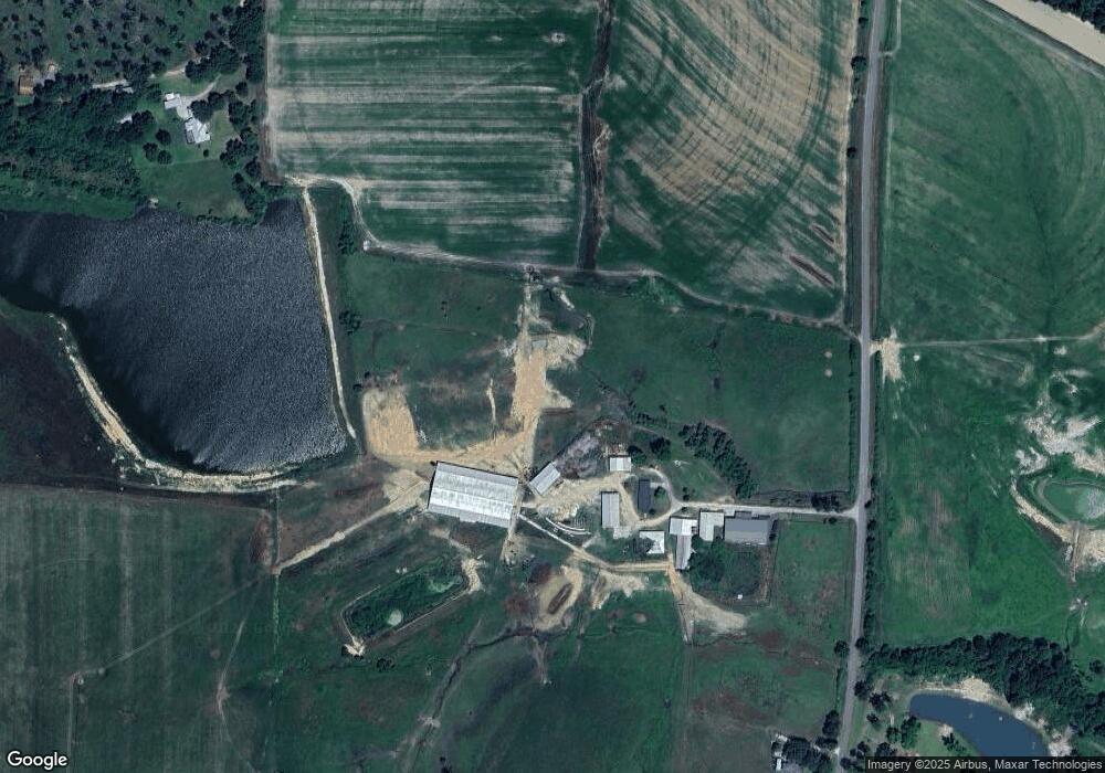
Map
Nearby Homes
- 00 Rossman Dairy Rd
- 102 Schley Church Rd
- 372 Westwoods Dr Unit 21
- LOT 30 Merganser Ln
- LOT 23 Westwoods Dr
- 0 Fox Trot Dr
- 198 Westwoods Dr
- 1791 Funston Sigsbee Rd
- 2393 Georgia 37
- 218 Gusty Rd
- 178 Cool Breeze Dr
- 3233 Sylvester Dr
- 107 30th Ave NW
- 15,23,27 29th Ave NW
- 0 Sam Sells Rd
- 378 Old S R 33
- 410 West Bypass NW
- 410 W Bypass Pass NW
- 216 Circle Rd
- 1321 Hallmark Dr
- 435 Millpond Rd
- 1206 Rossman Dairy Rd
- 1203 Rossman Dairy Rd
- 1465 Rossman Dairy Rd
- 467 Millpond Rd
- 407 Millpond Rd
- 347 Millpond Rd
- 325 Millpond Rd
- 519 Millpond Rd
- 265 Millpond Rd
- 300 Millpond Rd
- 444 Millpond Rd
- 528 Millpond Rd
- 478 Millpond Rd
- 288 Millpond Rd
- 330 Millpond Rd
- 512 Millpond Rd
- 223 Millpond Rd
- 578 Millpond Rd
- 185 Millpond Rd