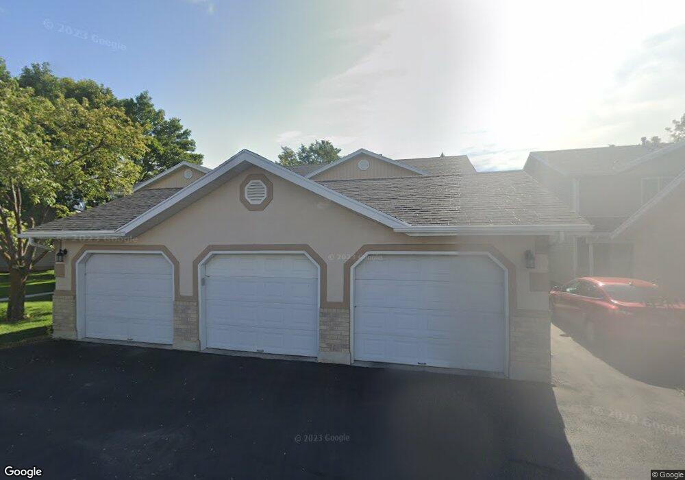
1283 S 170 W Logan, UT 84321
Woodruff NeighborhoodEstimated Value: $260,000 - $343,000
2
Beds
2
Baths
1,190
Sq Ft
$238/Sq Ft
Est. Value
About This Home
This home is located at 1283 S 170 W, Logan, UT 84321 and is currently estimated at $283,273, approximately $238 per square foot. 1283 S 170 W is a home located in Cache County with nearby schools including Hillcrest Elementary School, Mount Logan Middle School, and Logan High School.
Ownership History
Date
Name
Owned For
Owner Type
Purchase Details
Closed on
Apr 21, 2022
Sold by
Richard Wood Brantzen
Bought by
Hardy Steven and Hardy Janese
Current Estimated Value
Home Financials for this Owner
Home Financials are based on the most recent Mortgage that was taken out on this home.
Original Mortgage
$261,900
Outstanding Balance
$247,752
Interest Rate
5.11%
Mortgage Type
New Conventional
Estimated Equity
$35,521
Purchase Details
Closed on
Apr 22, 2020
Sold by
170 Blackhawk Llc
Bought by
Wood Richard Nolan
Purchase Details
Closed on
Feb 24, 2020
Sold by
Stroud Terrance and Stroud Julia
Bought by
170 Blackhawk Llc
Purchase Details
Closed on
May 28, 2019
Sold by
Rude Andrew
Bought by
Stroud Terrance and Stroud Julia
Home Financials for this Owner
Home Financials are based on the most recent Mortgage that was taken out on this home.
Original Mortgage
$140,600
Interest Rate
4.1%
Mortgage Type
New Conventional
Purchase Details
Closed on
Apr 22, 2016
Sold by
Roberts Annis Marie
Bought by
Rude Andrew and Rude William F
Home Financials for this Owner
Home Financials are based on the most recent Mortgage that was taken out on this home.
Original Mortgage
$89,910
Interest Rate
3.73%
Mortgage Type
New Conventional
Purchase Details
Closed on
Oct 26, 2009
Sold by
Saari Jacob E
Bought by
Roberts Annis Marie
Purchase Details
Closed on
Sep 1, 2006
Sold by
Saari Jacob E
Bought by
Saari Jacob E
Purchase Details
Closed on
Aug 18, 2006
Sold by
Stevenson Stephanie
Bought by
Saari Jacob E
Purchase Details
Closed on
Nov 26, 2001
Sold by
Robinson Bradley J
Bought by
Stevenson Stephanie
Home Financials for this Owner
Home Financials are based on the most recent Mortgage that was taken out on this home.
Original Mortgage
$69,903
Interest Rate
6.57%
Mortgage Type
FHA
Create a Home Valuation Report for This Property
The Home Valuation Report is an in-depth analysis detailing your home's value as well as a comparison with similar homes in the area
Home Values in the Area
Average Home Value in this Area
Purchase History
| Date | Buyer | Sale Price | Title Company |
|---|---|---|---|
| Hardy Steven | -- | None Listed On Document | |
| Wood Richard Nolan | -- | American Secure Title Logan | |
| 170 Blackhawk Llc | -- | American Secure Title Logan | |
| Stroud Terrance | -- | Advanced Title | |
| Stroud Terrance | -- | Advanced Title | |
| Rude Andrew | -- | Cache Title | |
| Roberts Annis Marie | -- | First American Title Bountif | |
| Saari Jacob E | -- | None Available | |
| Saari Jacob E | -- | American Secure Title | |
| Stevenson Stephanie | -- | Cache Title Company |
Source: Public Records
Mortgage History
| Date | Status | Borrower | Loan Amount |
|---|---|---|---|
| Open | Hardy Steven | $261,900 | |
| Previous Owner | Stroud Terrance | $140,600 | |
| Previous Owner | Rude Andrew | $89,910 | |
| Previous Owner | Stevenson Stephanie | $69,903 | |
| Closed | Stevenson Stephanie | $1,200 |
Source: Public Records
Tax History Compared to Growth
Tax History
| Year | Tax Paid | Tax Assessment Tax Assessment Total Assessment is a certain percentage of the fair market value that is determined by local assessors to be the total taxable value of land and additions on the property. | Land | Improvement |
|---|---|---|---|---|
| 2025 | $1,069 | $138,230 | $0 | $0 |
| 2024 | $1,109 | $138,915 | $0 | $0 |
| 2023 | $1,233 | $147,180 | $0 | $0 |
| 2022 | $1,357 | $151,250 | $0 | $0 |
| 2021 | $1,155 | $198,890 | $50,000 | $148,890 |
| 2020 | $997 | $154,600 | $30,000 | $124,600 |
| 2019 | $925 | $137,272 | $30,000 | $107,272 |
| 2018 | $910 | $123,280 | $30,000 | $93,280 |
| 2017 | $805 | $57,640 | $0 | $0 |
| 2016 | $835 | $47,905 | $0 | $0 |
| 2015 | $692 | $47,745 | $0 | $0 |
| 2014 | $626 | $47,745 | $0 | $0 |
| 2013 | -- | $47,745 | $0 | $0 |
Source: Public Records
Map
Nearby Homes
- 168 W 1275 S
- 130 W 1260 S
- 593 W 300 S
- 268 W 1030 S
- 475 W 60 S Unit L304
- 460 W 15 S Unit G202
- 470 W 15 S Unit F301
- 460 W 15 S Unit G201
- 460 W 15 S Unit G301
- 462 W 40 S Unit 202
- 238 W 1010 S Unit 43
- 273 W 1010 S
- 265 W 1010 S
- 233 W 1010 S
- 427 W 65 S
- 426 W 15 S
- 866 Riverwood Dr
- 287 S 375 W
- 439 Meadow Ln
- 476 Cobblestone