12833 220th Ave Big Rapids, MI 49307
Estimated Value: $333,000 - $465,000
3
Beds
4
Baths
1,799
Sq Ft
$217/Sq Ft
Est. Value
About This Home
This home is located at 12833 220th Ave, Big Rapids, MI 49307 and is currently estimated at $389,923, approximately $216 per square foot. 12833 220th Ave is a home located in Mecosta County with nearby schools including Big Rapids High School.
Ownership History
Date
Name
Owned For
Owner Type
Purchase Details
Closed on
Feb 5, 2026
Sold by
Isler Bradley Jacob and Isler Melinda Kay
Bought by
Isler Bradley Jacob and Isler Melinda Kay
Current Estimated Value
Purchase Details
Closed on
Jul 25, 2008
Sold by
Lafontaine Michael A and Lafontaine Melanie
Bought by
Isler Bradley J and Isler Melinda K
Home Financials for this Owner
Home Financials are based on the most recent Mortgage that was taken out on this home.
Original Mortgage
$153,600
Interest Rate
6.36%
Mortgage Type
Purchase Money Mortgage
Purchase Details
Closed on
Apr 28, 2004
Sold by
Cox Mark C and Cox Karen L
Bought by
Lafontaine Michael A and Lafontaine Melanie
Home Financials for this Owner
Home Financials are based on the most recent Mortgage that was taken out on this home.
Original Mortgage
$180,000
Interest Rate
5.85%
Mortgage Type
Purchase Money Mortgage
Create a Home Valuation Report for This Property
The Home Valuation Report is an in-depth analysis detailing your home's value as well as a comparison with similar homes in the area
Home Values in the Area
Average Home Value in this Area
Purchase History
| Date | Buyer | Sale Price | Title Company |
|---|---|---|---|
| Isler Bradley Jacob | -- | None Listed On Document | |
| Isler Bradley J | -- | Corporate Title Agency | |
| Lafontaine Michael A | $200,000 | Mecosta County Abstract & Ti |
Source: Public Records
Mortgage History
| Date | Status | Borrower | Loan Amount |
|---|---|---|---|
| Previous Owner | Isler Bradley J | $153,600 | |
| Previous Owner | Lafontaine Michael A | $180,000 |
Source: Public Records
Tax History
| Year | Tax Paid | Tax Assessment Tax Assessment Total Assessment is a certain percentage of the fair market value that is determined by local assessors to be the total taxable value of land and additions on the property. | Land | Improvement |
|---|---|---|---|---|
| 2025 | $2,883 | $168,900 | $0 | $0 |
| 2024 | -- | $159,100 | $0 | $0 |
| 2023 | -- | $143,400 | $0 | $0 |
| 2022 | $0 | $123,200 | $0 | $0 |
Source: Public Records
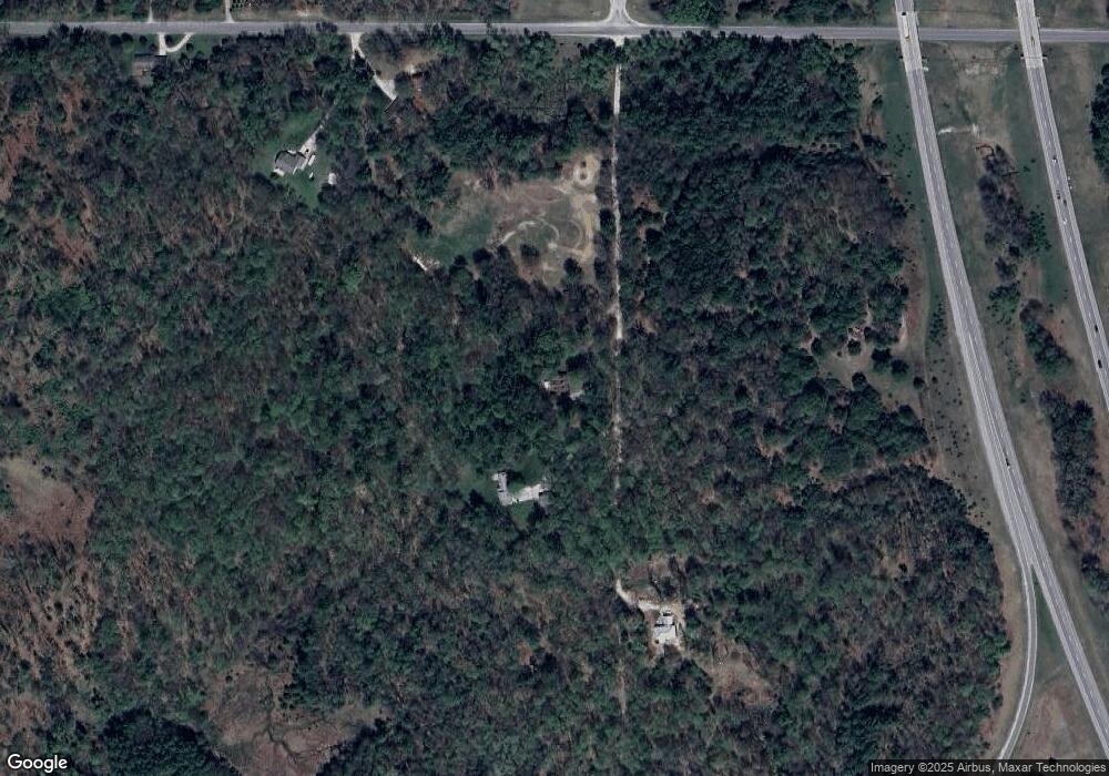
Map
Nearby Homes
- 13100 220th Ave
- Lot 15 Executive Dr
- Lot 14 Executive Dr
- Lot 11 Executive Dr
- Lot 6 University Club Dr
- Lot 7 University Club Dr
- Lot 10 University Club Dr
- Lot 3 University Club Dr
- Lot 8 University Club Dr
- Unit 2 University Club Dr
- Lot 9 University Club Dr
- Lot 4 University Club Dr
- 22870 13 Mile Rd
- 23020 13 Mile Rd
- 0 Edgewood Dr
- 11285 Northland Dr
- 20425 Thornapple Ln
- 10765 Northland Dr
- 13692 Northland Dr
- 15172 Oakwood Dr
- 12789 220th Ave
- 22101 13 Mile Rd
- 22095 13 Mile Rd
- 12720 220th Ave
- 22170 13 Mile Rd
- 22233 13 Mile Rd
- 13145 220th Ave
- 22234 13 Mile Rd
- 22265 13 Mile Rd
- 22350 13 Mile Rd
- 13137 215th Ave
- 12410 220th Ave
- 13280 220th Ave
- 21458 Forest Lake Dr
- 13 Mill St
- 22476 13 Mile Rd
- 21615 Forest Lake Dr
- 21505 Forest Lake Dr
- 21465 Forest Lake Dr
- 21530 13 Mile Rd
Your Personal Tour Guide
Ask me questions while you tour the home.