Estimated Value: $297,874 - $407,000
3
Beds
1
Bath
1,226
Sq Ft
$282/Sq Ft
Est. Value
About This Home
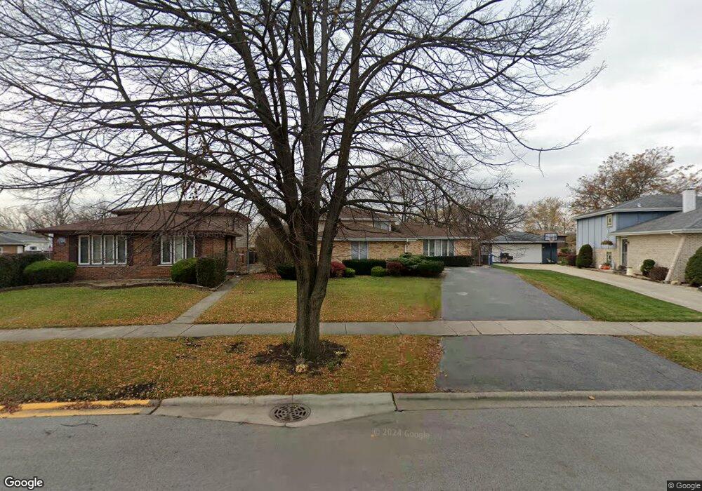
This home is located at 12836 S Apple Ln, Alsip, IL 60803 and is currently estimated at $345,219, approximately $281 per square foot. 12836 S Apple Ln is a home located in Cook County with nearby schools including Nathan Hale Primary School, Nathan Hale Intermediate School, and Nathan Hale Middle School.
Ownership History
Date
Name
Owned For
Owner Type
Purchase Details
Closed on
Nov 15, 2004
Sold by
Small Mark J and Small Regina M
Bought by
Riley Toby L
Current Estimated Value
Home Financials for this Owner
Home Financials are based on the most recent Mortgage that was taken out on this home.
Original Mortgage
$208,000
Outstanding Balance
$92,663
Interest Rate
4.19%
Mortgage Type
Negative Amortization
Estimated Equity
$252,556
Create a Home Valuation Report for This Property
The Home Valuation Report is an in-depth analysis detailing your home's value as well as a comparison with similar homes in the area
Home Values in the Area
Average Home Value in this Area
Purchase History
| Date | Buyer | Sale Price | Title Company |
|---|---|---|---|
| Riley Toby L | $260,000 | Pntn |
Source: Public Records
Mortgage History
| Date | Status | Borrower | Loan Amount |
|---|---|---|---|
| Open | Riley Toby L | $208,000 |
Source: Public Records
Tax History Compared to Growth
Tax History
| Year | Tax Paid | Tax Assessment Tax Assessment Total Assessment is a certain percentage of the fair market value that is determined by local assessors to be the total taxable value of land and additions on the property. | Land | Improvement |
|---|---|---|---|---|
| 2024 | $7,793 | $25,000 | $5,718 | $19,282 |
| 2023 | $6,195 | $25,000 | $5,718 | $19,282 |
| 2022 | $6,195 | $17,661 | $4,939 | $12,722 |
| 2021 | $5,931 | $17,660 | $4,938 | $12,722 |
| 2020 | $5,885 | $17,660 | $4,938 | $12,722 |
| 2019 | $6,177 | $18,252 | $4,418 | $13,834 |
| 2018 | $5,946 | $18,252 | $4,418 | $13,834 |
| 2017 | $6,086 | $18,252 | $4,418 | $13,834 |
| 2016 | $5,501 | $15,707 | $3,638 | $12,069 |
| 2015 | $5,342 | $15,707 | $3,638 | $12,069 |
| 2014 | $5,209 | $15,707 | $3,638 | $12,069 |
| 2013 | $5,660 | $18,214 | $3,638 | $14,576 |
Source: Public Records
Map
Nearby Homes
- 4654 W 131st St Unit 1S
- 12824 S Kenneth Ave Unit F1
- 12738 S Kenneth Ave Unit E
- 12736 S Kenneth Ave Unit 1A
- 4406 W 127th Place
- 4343 W Emerald Way St
- 4326 W Emerald Way St
- 4336 W Emerald Way St
- 12507 S Tripp Ave
- 13300 W Circle Drive Pkwy Unit G222
- 4920 134th Ct Unit 206
- 4920 134th Ct Unit 207
- 4955 134th Place Unit 1B
- 4955 134th Place Unit 3B
- 14350 S Pulaski Rd
- 13426 W Circle Dr Unit 302
- 13412 Le Claire Ave
- 13615 Lavergne Ave Unit 110
- 12954 Crescent Ct
- 4120 W 136th St
- 12834 S Apple Ln
- 12840 S Apple Ln
- 4556 W 129th St
- 4554 W 129th St
- 12842 S Apple Ln
- 4552 W 129th St
- 12832 S Apple Ln
- 12847 S Loveland St
- 12851 S Loveland St
- 12844 S Apple Ln
- 4550 W 129th St
- 12843 S Loveland St
- 12828 S Apple Ln
- 4560 W 129th St
- 12831 S Apple Ln
- 4546 W 129th St
- 12848 S Apple Ln
- 12833 S Apple Ln
- 12826 S Apple Ln
- 12829 S Apple Ln