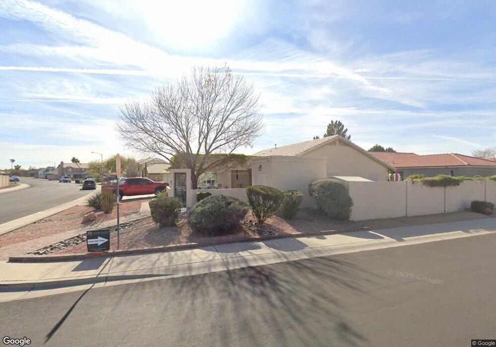
12838 N 85th Ave Peoria, AZ 85381
Estimated Value: $427,033 - $493,000
--
Bed
3
Baths
1,967
Sq Ft
$240/Sq Ft
Est. Value
About This Home
This home is located at 12838 N 85th Ave, Peoria, AZ 85381 and is currently estimated at $472,008, approximately $239 per square foot. 12838 N 85th Ave is a home located in Maricopa County with nearby schools including Sky View Elementary School and Peoria High School.
Ownership History
Date
Name
Owned For
Owner Type
Purchase Details
Closed on
Sep 6, 2018
Sold by
Baker Howard L and Baker Elizabeth C
Bought by
Baker Howard L and Baker Elizabeth C
Current Estimated Value
Purchase Details
Closed on
Jul 18, 1995
Sold by
Marlor Land Company Inc
Bought by
Baker Howard L and Baker Elizabeth C
Home Financials for this Owner
Home Financials are based on the most recent Mortgage that was taken out on this home.
Original Mortgage
$101,534
Interest Rate
7.59%
Mortgage Type
FHA
Create a Home Valuation Report for This Property
The Home Valuation Report is an in-depth analysis detailing your home's value as well as a comparison with similar homes in the area
Home Values in the Area
Average Home Value in this Area
Purchase History
| Date | Buyer | Sale Price | Title Company |
|---|---|---|---|
| Baker Howard L | -- | None Available | |
| Baker Howard L | $102,495 | United Title Agency |
Source: Public Records
Mortgage History
| Date | Status | Borrower | Loan Amount |
|---|---|---|---|
| Closed | Baker Howard L | $101,534 |
Source: Public Records
Tax History Compared to Growth
Tax History
| Year | Tax Paid | Tax Assessment Tax Assessment Total Assessment is a certain percentage of the fair market value that is determined by local assessors to be the total taxable value of land and additions on the property. | Land | Improvement |
|---|---|---|---|---|
| 2025 | $1,860 | $22,953 | -- | -- |
| 2024 | $1,900 | $21,860 | -- | -- |
| 2023 | $1,900 | $34,570 | $6,910 | $27,660 |
| 2022 | $1,873 | $27,070 | $5,410 | $21,660 |
| 2021 | $2,019 | $24,600 | $4,920 | $19,680 |
| 2020 | $2,018 | $23,050 | $4,610 | $18,440 |
| 2019 | $1,940 | $21,850 | $4,370 | $17,480 |
| 2018 | $1,837 | $19,230 | $3,840 | $15,390 |
| 2017 | $1,834 | $18,400 | $3,680 | $14,720 |
| 2016 | $1,733 | $19,150 | $3,830 | $15,320 |
| 2015 | $1,722 | $18,570 | $3,710 | $14,860 |
Source: Public Records
Map
Nearby Homes
- 12751 N 85th Dr
- 12759 N 86th Ln
- 8408 W Corrine Dr
- 8720 W Windsor Dr
- 8752 W Windsor Dr
- 8508 W Bloomfield Rd
- 8759 W Surrey Ave
- 8789 W Desert Trail
- 8469 W Emile Zola Ave
- 8443 W Charter Oak Rd
- 13461 N 87th Dr
- 13349 N 87th Ln
- 8758 W Bloomfield Rd
- 13307 N 84th Ave
- 13216 N 88th Ave
- 13414 N 87th Ln
- 13248 N 88th Ave
- 8633 W Wethersfield Rd
- 8733 W Wethersfield Rd
- 8119 W Corrine Dr Unit 1
- 12828 N 85th Ave
- 8521 W Aster Dr
- 12818 N 85th Ave
- 8510 W Aster Dr
- 8516 W Aster Dr
- 8459 W Aster Dr
- 12811 N 85th Dr
- 8522 W Aster Dr
- 8533 W Aster Dr
- 8460 W Aster Dr
- 8528 W Aster Dr
- 12758 N 85th Ave
- 8453 W Aster Dr
- 12731 N 85th Ave
- 12771 N 85th Dr
- 8532 W Windsor Dr
- 8534 W Aster Dr
- 8511 W Dahlia Dr
- 8517 W Dahlia Dr
- 8539 W Aster Dr