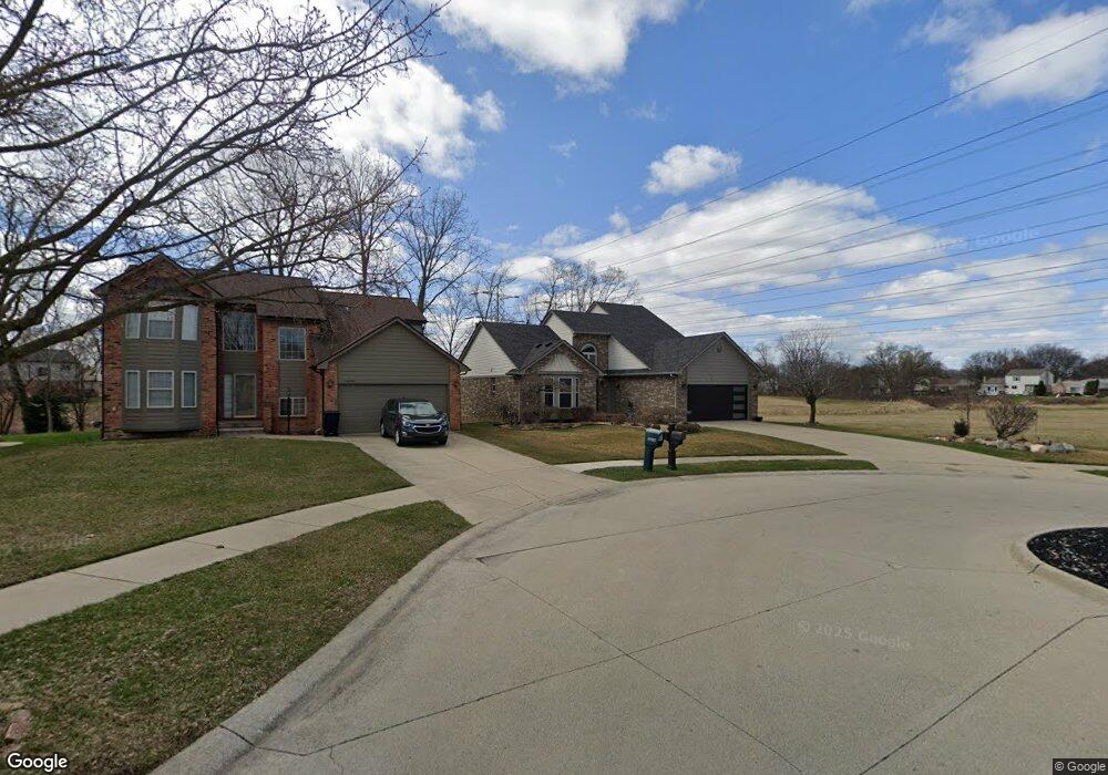
12838 Rolling Brook Ct Sterling Heights, MI 48313
Estimated Value: $354,000 - $390,000
3
Beds
3
Baths
1,792
Sq Ft
$205/Sq Ft
Est. Value
About This Home
This home is located at 12838 Rolling Brook Ct, Sterling Heights, MI 48313 and is currently estimated at $368,055, approximately $205 per square foot. 12838 Rolling Brook Ct is a home located in Macomb County with nearby schools including Dekeyser Elementary School, Davis Junior High School, and Adlai Stevenson High School.
Ownership History
Date
Name
Owned For
Owner Type
Purchase Details
Closed on
Nov 19, 1999
Sold by
Hillcrest Homes Inc
Bought by
Misuraca Anthony J
Current Estimated Value
Create a Home Valuation Report for This Property
The Home Valuation Report is an in-depth analysis detailing your home's value as well as a comparison with similar homes in the area
Home Values in the Area
Average Home Value in this Area
Purchase History
| Date | Buyer | Sale Price | Title Company |
|---|---|---|---|
| Misuraca Anthony J | $201,560 | -- |
Source: Public Records
Mortgage History
| Date | Status | Borrower | Loan Amount |
|---|---|---|---|
| Closed | Misuraca Anthony J | -- |
Source: Public Records
Tax History Compared to Growth
Tax History
| Year | Tax Paid | Tax Assessment Tax Assessment Total Assessment is a certain percentage of the fair market value that is determined by local assessors to be the total taxable value of land and additions on the property. | Land | Improvement |
|---|---|---|---|---|
| 2025 | $4,458 | $176,400 | $0 | $0 |
| 2024 | $4,076 | $173,400 | $0 | $0 |
| 2023 | $3,849 | $156,200 | $0 | $0 |
| 2022 | $4,012 | $142,800 | $0 | $0 |
| 2021 | $3,929 | $137,200 | $0 | $0 |
| 2020 | $3,505 | $128,600 | $0 | $0 |
| 2019 | $3,590 | $126,000 | $0 | $0 |
| 2018 | $3,631 | $119,600 | $0 | $0 |
| 2017 | $3,469 | $113,200 | $18,600 | $94,600 |
| 2016 | $3,351 | $113,200 | $0 | $0 |
| 2015 | -- | $106,000 | $0 | $0 |
| 2014 | -- | $91,700 | $0 | $0 |
Source: Public Records
Map
Nearby Homes
- 12816 Kinlock Dr
- 39400 Utica Rd
- 39275 Della Rosa Dr
- 39239 Chantilly Dr
- 13386 Winona Dr
- 13311 Picadilly Dr
- 39839 Utica Rd
- 38171 Jamestown Dr Unit 116
- 39044 Dodge Park Rd
- 13314 Denver Cir W
- 39123 Boston Dr
- 38146 Jamestown Dr Unit 86
- 13104 Carnaby Ct
- 13000 Plumbrook Rd
- 13466 Denver Cir E
- 13470 Denver Cir E
- 39421 Farmhill Dr
- 11406 Plumridge Blvd
- 11820 Creekview Dr Unit 54
- 13762 Halleck Dr
- 12856 Rolling Brook Ct
- 12874 Rolling Brook Ct
- 12892 Rolling Brook Ct
- 12831 Rolling Brook Ct
- 12849 Rolling Brook Ct
- 12910 Rolling Brook Ct
- 12867 Rolling Brook Ct
- 12759 17 Mile Rd
- 12777 17 Mile Rd
- 12885 Rolling Brook Ct
- 12795 17 Mile Rd
- 12813 17 Mile Rd
- 12741 17 Mile Rd
- 12928 Rolling Brook Ct
- 12903 Rolling Brook Ct
- 39215 Utica Rd
- 12928 Rolling
- 39193 Utica Rd
- 12946 Rolling Brook Ct
- 39171 Utica Rd