12838 S Barnards Rd Molalla, OR 97038
Estimated Value: $713,000 - $966,000
3
Beds
3
Baths
2,212
Sq Ft
$358/Sq Ft
Est. Value
About This Home
This home is located at 12838 S Barnards Rd, Molalla, OR 97038 and is currently estimated at $792,722, approximately $358 per square foot. 12838 S Barnards Rd is a home located in Clackamas County with nearby schools including Oregon Outreach - Molalla Pride.
Ownership History
Date
Name
Owned For
Owner Type
Purchase Details
Closed on
Oct 29, 2020
Sold by
Anderson Beth and The Beth Anderson Living Trust
Bought by
Anderson Albina Elizabeth and The Beth Anderson Living Trust
Current Estimated Value
Purchase Details
Closed on
Jun 4, 2019
Sold by
The Beth Anderson Living Trust
Bought by
The Beth Anderson Living Trust
Purchase Details
Closed on
Jul 26, 2007
Sold by
Anderson A Elizabeth
Bought by
Beth Anderson Living Trust
Purchase Details
Closed on
Aug 31, 2006
Sold by
Anderson A Elizabeth
Bought by
Beth Anderson Living Trust
Purchase Details
Closed on
Jun 5, 2006
Sold by
Anderson Albina Elizabeth
Bought by
Anderson Albina Elizabeth and Beth Anderson Revocable Living Trust
Create a Home Valuation Report for This Property
The Home Valuation Report is an in-depth analysis detailing your home's value as well as a comparison with similar homes in the area
Purchase History
| Date | Buyer | Sale Price | Title Company |
|---|---|---|---|
| Anderson Albina Elizabeth | -- | None Available | |
| The Beth Anderson Living Trust | -- | None Available | |
| Beth Anderson Living Trust | -- | None Available | |
| Beth Anderson Living Trust | -- | None Available | |
| Anderson Albina Elizabeth | -- | None Available |
Source: Public Records
Tax History
| Year | Tax Paid | Tax Assessment Tax Assessment Total Assessment is a certain percentage of the fair market value that is determined by local assessors to be the total taxable value of land and additions on the property. | Land | Improvement |
|---|---|---|---|---|
| 2025 | $4,554 | $362,893 | -- | -- |
| 2024 | $4,474 | $352,324 | -- | -- |
| 2023 | $4,474 | $342,063 | $0 | $0 |
| 2022 | $3,747 | $332,100 | $0 | $0 |
| 2021 | $3,579 | $322,428 | $0 | $0 |
| 2020 | $3,483 | $313,037 | $0 | $0 |
| 2019 | $3,383 | $303,920 | $0 | $0 |
| 2018 | $3,292 | $295,068 | $0 | $0 |
| 2017 | $3,112 | $286,474 | $0 | $0 |
| 2016 | $2,923 | $278,130 | $0 | $0 |
Source: Public Records
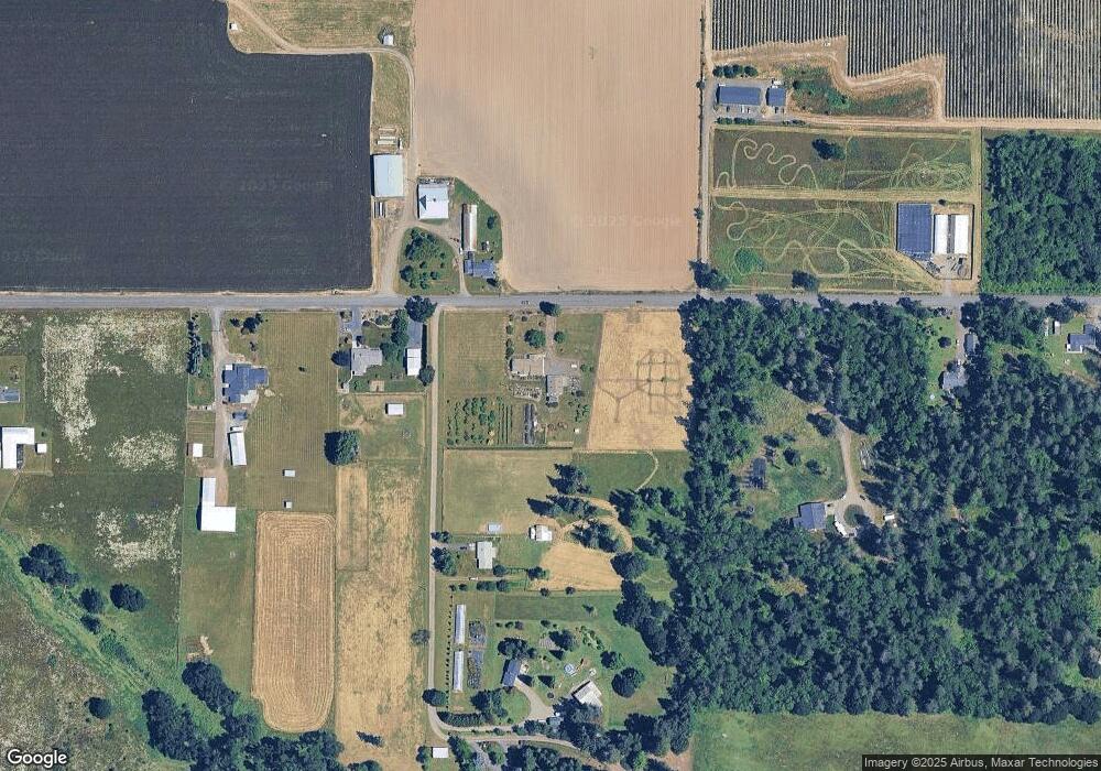
Map
Nearby Homes
- 12950 S Barnards Rd
- 29891 S Highway 213
- 1424 Mount View Ln
- 1247 Boardwalk Ave
- 924 Julie Ln
- 829 Toliver Rd
- 660 Village Dr Unit 13
- 633 June Dr
- 1200 Rachel Ln
- 1201 Rachel Ln
- 1191 Rachel Ln
- 1181 Rachel Ln
- 871 Mary Dr
- 1161 Rachel Ln
- 1141 Rachel Ln
- 1160 Rachel Ln
- 686 Columbia Dr
- 1121 Rachel Ln
- 1241 Rachel Ln
- 330 Forest Ln
- 12738 S Barnards Rd
- 30102 S Shandell Rd
- 30102 S Shandell Rd
- 12775 S Barnards Rd
- 30166 S Shandell Rd
- 29859 S Highway 213
- 12662 S Barnards Rd
- 30185 S Shandell Rd
- 13000 S Barnards Rd
- 30200 S Shandell Rd
- 12578 S Barnards Rd
- 13062 S Barnards Rd
- 30273 S Highway 213
- 30029 S Highway 213
- 30133 S Highway 213
- 12434 S Barnards Rd
- 30369 S Highway 213
- 30202 S Highway 213
- 12350 S Barnards Rd
- 29934 S Highway 213
Your Personal Tour Guide
Ask me questions while you tour the home.