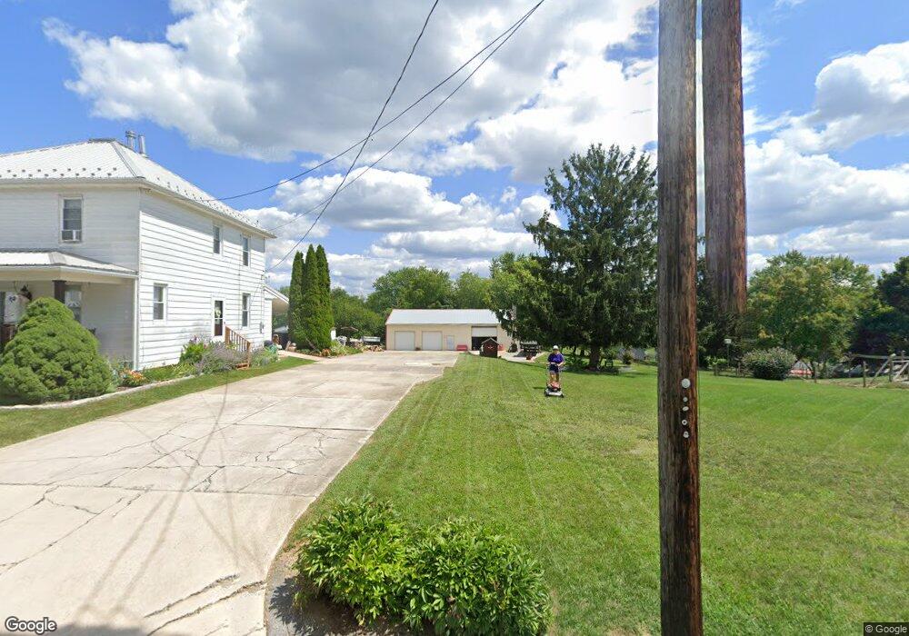
12839 Point Salem Rd Hagerstown, MD 21740
Estimated Value: $278,000 - $344,323
--
Bed
1
Bath
1,352
Sq Ft
$228/Sq Ft
Est. Value
About This Home
This home is located at 12839 Point Salem Rd, Hagerstown, MD 21740 and is currently estimated at $307,831, approximately $227 per square foot. 12839 Point Salem Rd is a home located in Washington County with nearby schools including Jonathan Hager Elementary School, Owendale-Gagetown Junior/Senior High School, and Western Heights Middle School.
Ownership History
Date
Name
Owned For
Owner Type
Purchase Details
Closed on
Apr 1, 2024
Sold by
Browning Terry Lee and Browning Lisa Diann
Bought by
Browning Terry Lee and Browning Lisa Diann
Current Estimated Value
Purchase Details
Closed on
May 19, 1989
Sold by
Black Gertrude B
Bought by
Browning Terry Lee
Home Financials for this Owner
Home Financials are based on the most recent Mortgage that was taken out on this home.
Original Mortgage
$56,050
Interest Rate
10.69%
Create a Home Valuation Report for This Property
The Home Valuation Report is an in-depth analysis detailing your home's value as well as a comparison with similar homes in the area
Home Values in the Area
Average Home Value in this Area
Purchase History
| Date | Buyer | Sale Price | Title Company |
|---|---|---|---|
| Browning Terry Lee | -- | None Listed On Document | |
| Browning Terry Lee | $59,000 | -- |
Source: Public Records
Mortgage History
| Date | Status | Borrower | Loan Amount |
|---|---|---|---|
| Previous Owner | Browning Terry Lee | $56,050 |
Source: Public Records
Tax History Compared to Growth
Tax History
| Year | Tax Paid | Tax Assessment Tax Assessment Total Assessment is a certain percentage of the fair market value that is determined by local assessors to be the total taxable value of land and additions on the property. | Land | Improvement |
|---|---|---|---|---|
| 2025 | $2,394 | $251,300 | $83,100 | $168,200 |
| 2024 | $2,394 | $235,333 | $0 | $0 |
| 2023 | $2,278 | $219,367 | $0 | $0 |
| 2022 | $2,166 | $203,400 | $83,100 | $120,300 |
| 2021 | $2,206 | $203,400 | $83,100 | $120,300 |
| 2020 | $2,206 | $203,400 | $83,100 | $120,300 |
| 2019 | $2,233 | $205,000 | $83,100 | $121,900 |
| 2018 | $2,233 | $205,000 | $83,100 | $121,900 |
| 2017 | $2,233 | $205,000 | $0 | $0 |
| 2016 | -- | $210,600 | $0 | $0 |
| 2015 | $1,668 | $210,600 | $0 | $0 |
| 2014 | $1,668 | $210,600 | $0 | $0 |
Source: Public Records
Map
Nearby Homes
- 12922 Salem Ave
- 12922 Nittany Lion Cir
- 13011 Nittany Lion Cir
- 17656 Potter Bell Way
- 18126 Demon Deacon Ct
- 17529 Patterson Dr
- 17500 Patterson Dr
- 17402 Cobb Ct
- 17510 Magma Ct
- 370 Daycotah Ave
- 12710 Wallace Ct
- 259 Daycotah Ave
- 17503 Matric Ct
- 12612 Chambliss Dr
- 1361 Connecticut Ave
- 1362 Connecticut Ave
- 1355 Connecticut Ave
- 12432 Gemstone Dr
- 13171 Salem Church Rd
- 212 Daycotah Ave
- 12905 Point Salem Rd
- 12900 Point Salem Rd
- 12904 Point Salem Rd
- 12835 Point Salem Rd
- 12908 Point Salem Rd
- 12833 Point Salem Rd
- 12909 Point Salem Rd
- 12910 Point Salem Rd
- 12912 Point Salem Rd
- 12828 Point Salem Rd
- 12829 Point Salem Rd
- 12826 Point Salem Rd
- 12749 Harmonious Ln
- 12919 Point Salem Rd
- 12916 Point Salem Rd
- 12832 Point Salem Rd
- 12922 Point Salem Rd
- 12921 Point Salem Rd
- 12818 Point Salem Rd
- 12926 Point Salem Rd