Estimated Value: $350,000 - $472,134
3
Beds
2
Baths
1,850
Sq Ft
$223/Sq Ft
Est. Value
About This Home
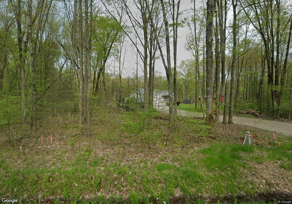
This home is located at 12839 Udall Rd, Hiram, OH 44234 and is currently estimated at $412,711, approximately $223 per square foot. 12839 Udall Rd is a home with nearby schools including Crestwood Primary School, Crestwood Intermediate School, and Crestwood Middle School.
Ownership History
Date
Name
Owned For
Owner Type
Purchase Details
Closed on
Apr 1, 2020
Sold by
Scala Ronald J and Scala Diane R
Bought by
Gruszewski Brian W and Mccoy Justina
Current Estimated Value
Home Financials for this Owner
Home Financials are based on the most recent Mortgage that was taken out on this home.
Original Mortgage
$30,000
Outstanding Balance
$24,659
Interest Rate
5.2%
Mortgage Type
New Conventional
Estimated Equity
$388,052
Create a Home Valuation Report for This Property
The Home Valuation Report is an in-depth analysis detailing your home's value as well as a comparison with similar homes in the area
Home Values in the Area
Average Home Value in this Area
Purchase History
| Date | Buyer | Sale Price | Title Company |
|---|---|---|---|
| Gruszewski Brian W | $40,000 | None Available |
Source: Public Records
Mortgage History
| Date | Status | Borrower | Loan Amount |
|---|---|---|---|
| Open | Gruszewski Brian W | $30,000 |
Source: Public Records
Tax History Compared to Growth
Tax History
| Year | Tax Paid | Tax Assessment Tax Assessment Total Assessment is a certain percentage of the fair market value that is determined by local assessors to be the total taxable value of land and additions on the property. | Land | Improvement |
|---|---|---|---|---|
| 2024 | $5,721 | $143,360 | $24,710 | $118,650 |
| 2023 | $4,741 | $106,860 | $19,740 | $87,120 |
| 2022 | $4,776 | $106,860 | $19,740 | $87,120 |
| 2021 | $798 | $17,220 | $17,220 | $0 |
| 2020 | $832 | $17,220 | $17,220 | $0 |
| 2019 | $825 | $17,220 | $17,220 | $0 |
| 2018 | $819 | $17,220 | $17,220 | $0 |
| 2017 | $858 | $17,220 | $17,220 | $0 |
| 2016 | $856 | $17,220 | $17,220 | $0 |
| 2015 | $857 | $17,220 | $17,220 | $0 |
| 2014 | $874 | $17,220 | $17,220 | $0 |
| 2013 | $844 | $17,220 | $17,220 | $0 |
Source: Public Records
Map
Nearby Homes
- 7991 Norton Rd
- 12928 State Route 88
- 12954 State Route 88
- 12157 State Route 88
- 12707 Brosius Rd
- 19109 Tilden Rd
- 12947 Brosius Rd
- 12525 Brosius Rd
- 7972 State Route 305
- 0 Garfield Rd
- 6846 Wakefield Rd
- 14020 Kimpton Trail
- 11838 Brosius Rd
- SR 82 Ohio 82
- 11383 Rolling Meadows Dr
- 16169 Mccall Rd
- 18386 Mills Rd
- Lot 7 Wheeler Rd
- Lot 14 Wheeler Rd
- 7076 Village Way Dr