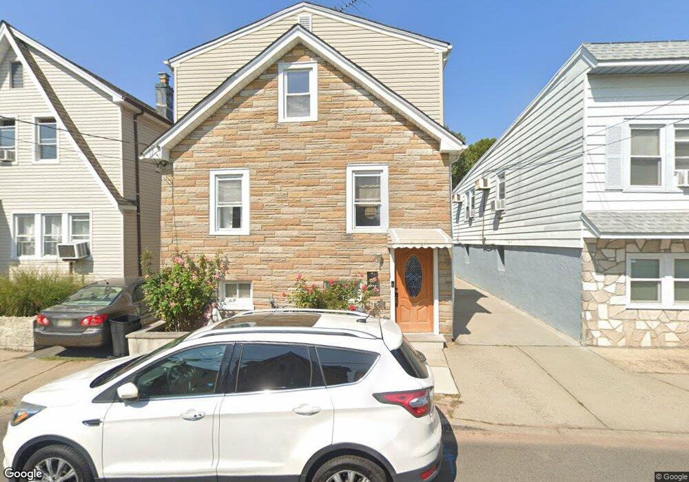
1284 Baker St Hillside, NJ 07205
Estimated Value: $334,747 - $588,000
Studio
--
Bath
1,540
Sq Ft
$304/Sq Ft
Est. Value
About This Home
This home is located at 1284 Baker St, Hillside, NJ 07205 and is currently estimated at $467,937, approximately $303 per square foot. 1284 Baker St is a home located in Union County with nearby schools including Abram P. Morris-Saybrook Elementary School, Hurden Looker School, and Ola Edwards Community School.
Ownership History
Date
Name
Owned For
Owner Type
Purchase Details
Closed on
Nov 15, 1999
Sold by
Maceren Lambert R and Maceren Annie M
Bought by
Dias Virgilio and Dias Maria
Current Estimated Value
Home Financials for this Owner
Home Financials are based on the most recent Mortgage that was taken out on this home.
Original Mortgage
$112,881
Outstanding Balance
$34,751
Interest Rate
7.86%
Mortgage Type
FHA
Estimated Equity
$433,186
Create a Home Valuation Report for This Property
The Home Valuation Report is an in-depth analysis detailing your home's value as well as a comparison with similar homes in the area
Home Values in the Area
Average Home Value in this Area
Purchase History
| Date | Buyer | Sale Price | Title Company |
|---|---|---|---|
| Dias Virgilio | $113,000 | -- |
Source: Public Records
Mortgage History
| Date | Status | Borrower | Loan Amount |
|---|---|---|---|
| Open | Dias Virgilio | $112,881 |
Source: Public Records
Tax History
| Year | Tax Paid | Tax Assessment Tax Assessment Total Assessment is a certain percentage of the fair market value that is determined by local assessors to be the total taxable value of land and additions on the property. | Land | Improvement |
|---|---|---|---|---|
| 2025 | $6,256 | $75,800 | $32,800 | $43,000 |
| 2024 | $6,074 | $75,800 | $32,800 | $43,000 |
| 2023 | $6,074 | $75,800 | $32,800 | $43,000 |
| 2022 | $6,018 | $75,800 | $32,800 | $43,000 |
| 2021 | $5,978 | $75,800 | $32,800 | $43,000 |
| 2020 | $5,943 | $75,800 | $32,800 | $43,000 |
| 2019 | $5,828 | $75,800 | $32,800 | $43,000 |
| 2018 | $5,770 | $75,800 | $32,800 | $43,000 |
| 2017 | $5,735 | $75,800 | $32,800 | $43,000 |
| 2016 | $5,728 | $75,800 | $32,800 | $43,000 |
| 2015 | $5,677 | $75,800 | $32,800 | $43,000 |
| 2014 | $5,588 | $75,800 | $32,800 | $43,000 |
Source: Public Records
Map
Nearby Homes
- 149 Baltimore Ave
- 1318 State St
- 128 Baltimore Ave
- 222 Boston Ave
- 345 Sanford Ave
- 260 Millard Ave
- 420 Hollywood Ave
- 1038 Fairview Place
- 1414 Boa Place Unit 2
- 1406 Maple Ave
- 137 Fairbanks St
- 161 Virginia St
- 1018 John Glenn Dr
- 359 Harvard Ave
- 1437 Parkview Terrace
- 1431 Compton Terrace
- 1204 Salem Ave
- 1200 Salem Ave
- 75 Hillside Ave
- 1442 Highland Ave
- 1288 Baker St
- 1290 Baker St Unit 2L
- 1290 Baker St Unit 1R
- 1290 Baker St Unit 2R
- 1287 State St
- 133 Silver Ave
- 135 Silver Ave
- 1289 State St
- 1289 State St Unit 2
- 1285 State St
- 1291 State St
- 1285 Baker St
- 1292 Baker St
- 1283 Baker St
- 1283 State St
- 1289 Baker St
- 1277 Baker St
- 1277 Baker St Unit 2
- 1293 State St
- 1273 Baker St
Your Personal Tour Guide
Ask me questions while you tour the home.