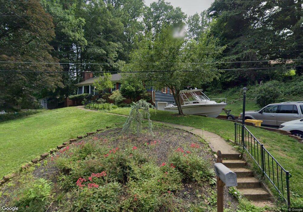
1284 Circle Dr Arnold, MD 21012
Estimated Value: $427,000 - $511,000
3
Beds
2
Baths
1,200
Sq Ft
$401/Sq Ft
Est. Value
About This Home
This home is located at 1284 Circle Dr, Arnold, MD 21012 and is currently estimated at $481,547, approximately $401 per square foot. 1284 Circle Dr is a home located in Anne Arundel County with nearby schools including Arnold Elementary School, Severn River Middle School, and Broadneck High School.
Ownership History
Date
Name
Owned For
Owner Type
Purchase Details
Closed on
Jul 14, 2009
Sold by
Frutchey Thomas
Bought by
Stohl Matthew D and Stohl Shantille Y
Current Estimated Value
Home Financials for this Owner
Home Financials are based on the most recent Mortgage that was taken out on this home.
Original Mortgage
$235,000
Outstanding Balance
$153,376
Interest Rate
5.31%
Mortgage Type
Purchase Money Mortgage
Estimated Equity
$328,171
Purchase Details
Closed on
Aug 8, 2007
Sold by
Richards James E
Bought by
Frutchey Thomas
Purchase Details
Closed on
Jul 3, 2007
Sold by
Richards James E
Bought by
Frutchey Thomas
Create a Home Valuation Report for This Property
The Home Valuation Report is an in-depth analysis detailing your home's value as well as a comparison with similar homes in the area
Home Values in the Area
Average Home Value in this Area
Purchase History
| Date | Buyer | Sale Price | Title Company |
|---|---|---|---|
| Stohl Matthew D | $285,000 | -- | |
| Frutchey Thomas | $253,000 | -- | |
| Frutchey Thomas | $253,000 | -- |
Source: Public Records
Mortgage History
| Date | Status | Borrower | Loan Amount |
|---|---|---|---|
| Open | Stohl Matthew D | $235,000 |
Source: Public Records
Tax History Compared to Growth
Tax History
| Year | Tax Paid | Tax Assessment Tax Assessment Total Assessment is a certain percentage of the fair market value that is determined by local assessors to be the total taxable value of land and additions on the property. | Land | Improvement |
|---|---|---|---|---|
| 2025 | $4,452 | $437,367 | -- | -- |
| 2024 | $4,452 | $410,200 | $279,900 | $130,300 |
| 2023 | $4,337 | $403,433 | $0 | $0 |
| 2022 | $4,059 | $396,667 | $0 | $0 |
| 2021 | $7,977 | $389,900 | $264,900 | $125,000 |
| 2020 | $3,868 | $372,600 | $0 | $0 |
| 2019 | $3,792 | $355,300 | $0 | $0 |
| 2018 | $3,427 | $338,000 | $196,200 | $141,800 |
| 2017 | $3,550 | $324,367 | $0 | $0 |
| 2016 | -- | $310,733 | $0 | $0 |
| 2015 | -- | $297,100 | $0 | $0 |
| 2014 | -- | $297,100 | $0 | $0 |
Source: Public Records
Map
Nearby Homes
- 1232 Taylor Ave
- 0000 Mazie
- 00 Mazie
- Severn Plan at Ford's Grant
- Newport Plan at Ford's Grant
- Magothy Plan at Ford's Grant
- 0 Moore Rd
- 1199 Asquithpines Place
- 1277 Ritchie Hwy Unit 195
- 100 Asquithoaks Ln
- 131 Admirals Ridge Dr
- 1078 Brightleaf Ct
- 1215 Driftwood Ct
- 1419 Mariner Dr
- 303 Ternwing Dr
- 249 Overleaf Dr
- 317 Long Meadow Way
- 1428 Ravine Way
- 1256 Crowell Ct
- 276 Overleaf Dr
- 1259 Dogwood Rd
- 1286 Circle Dr
- 1288 Circle Dr
- 1261 Dogwood Rd
- 1290 Circle Dr
- 11 Elmridge Rd
- 1257 Dogwood Rd
- 1283 Terrace Ln
- 1285 Terrace Ln
- 1292 Circle Dr
- 1264 Dogwood Rd
- 1291 Circle Dr
- 1295 Circle Dr
- 1287 Terrace Ln
- 1278 Terrace Ln
- 1299 Circle Dr
- 1289 Terrace Ln
- 10 Elmridge Rd
- 1260 Dogwood Rd
- 1262 Dogwood Rd