1284 County St Unit 21 Attleboro, MA 02703
Estimated Value: $495,409 - $598,000
3
Beds
3
Baths
1,660
Sq Ft
$327/Sq Ft
Est. Value
About This Home
This home is located at 1284 County St Unit 21, Attleboro, MA 02703 and is currently estimated at $543,102, approximately $327 per square foot. 1284 County St Unit 21 is a home located in Bristol County with nearby schools including A. Irvin Studley Elementary School, Robert J. Coelho Middle School, and Attleboro High School.
Ownership History
Date
Name
Owned For
Owner Type
Purchase Details
Closed on
Jul 30, 2025
Sold by
Kazan Hiam and Sammour Labib
Bought by
Kazan Hiam and Sammour Labib
Current Estimated Value
Purchase Details
Closed on
Apr 7, 2010
Sold by
W B Constr & Dev Inc
Bought by
Kazan Hiam
Home Financials for this Owner
Home Financials are based on the most recent Mortgage that was taken out on this home.
Original Mortgage
$232,000
Interest Rate
5.12%
Mortgage Type
Purchase Money Mortgage
Create a Home Valuation Report for This Property
The Home Valuation Report is an in-depth analysis detailing your home's value as well as a comparison with similar homes in the area
Home Values in the Area
Average Home Value in this Area
Purchase History
| Date | Buyer | Sale Price | Title Company |
|---|---|---|---|
| Kazan Hiam | -- | -- | |
| Kazan Hiam | -- | -- | |
| Kazan Hiam | $290,000 | -- | |
| Kazan Hiam | $290,000 | -- |
Source: Public Records
Mortgage History
| Date | Status | Borrower | Loan Amount |
|---|---|---|---|
| Previous Owner | Kazan Hiam | $232,000 |
Source: Public Records
Tax History Compared to Growth
Tax History
| Year | Tax Paid | Tax Assessment Tax Assessment Total Assessment is a certain percentage of the fair market value that is determined by local assessors to be the total taxable value of land and additions on the property. | Land | Improvement |
|---|---|---|---|---|
| 2025 | $5,466 | $435,500 | $0 | $435,500 |
| 2024 | $5,037 | $395,700 | $0 | $395,700 |
| 2023 | $5,069 | $370,300 | $0 | $370,300 |
| 2022 | $4,904 | $339,400 | $0 | $339,400 |
| 2021 | $4,628 | $312,700 | $0 | $312,700 |
| 2020 | $4,346 | $298,500 | $0 | $298,500 |
| 2019 | $4,374 | $308,900 | $0 | $308,900 |
| 2018 | $4,375 | $295,200 | $0 | $295,200 |
| 2017 | $3,869 | $265,900 | $0 | $265,900 |
| 2016 | $3,684 | $248,600 | $0 | $248,600 |
| 2015 | $3,911 | $265,900 | $0 | $265,900 |
| 2014 | $3,990 | $268,700 | $0 | $268,700 |
Source: Public Records
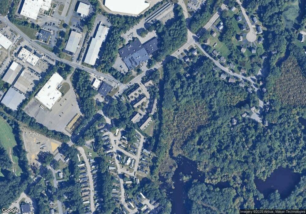
Map
Nearby Homes
- 994 S Main St
- 6 Perez St
- 9 Theodore Ln
- 124 Tiffany St
- 714 S Main St
- 20 Georgia Rae Way
- 88 Sandalwood Dr
- 22 Frenier Ave Unit 26
- 65 Bliss Ave Unit 4
- 804 County St
- 176 Read St
- 15 Arline Dr
- 71 Parsonage Way
- 0 Tulip Unit 73410552
- 0 Tulip Unit 73407296
- 754 Read St
- 0 Middle St
- 12 Knollcrest Cir
- 73 Valley Run Dr
- 9 Westdale Ave
- 1284 County St Unit 9
- 1284 County St Unit 8
- 1284 County St Unit 7
- 1284 County St Unit 6
- 1284 County St Unit 5
- 1284 County St Unit 4
- 1284 County St Unit 31
- 1284 County St Unit 30
- 1284 County St Unit 3
- 1284 County St Unit 29
- 1284 County St Unit 28
- 1284 County St Unit 27
- 1284 County St Unit 26
- 1284 County St Unit 25
- 1284 County St Unit 24
- 1284 County St Unit 23
- 1284 County St Unit 22
- 1284 County St Unit 20
- 1284 County St Unit 2
- 1284 County St Unit 19