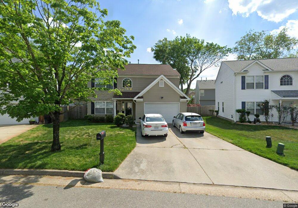
1284 Ferry Point Rd Virginia Beach, VA 23464
Estimated Value: $437,738 - $467,000
4
Beds
3
Baths
1,868
Sq Ft
$240/Sq Ft
Est. Value
About This Home
This home is located at 1284 Ferry Point Rd, Virginia Beach, VA 23464 and is currently estimated at $449,185, approximately $240 per square foot. 1284 Ferry Point Rd is a home located in Virginia Beach City with nearby schools including Fairfield Elementary School, Brandon Middle School, and Tallwood High School.
Ownership History
Date
Name
Owned For
Owner Type
Purchase Details
Closed on
Dec 22, 2000
Sold by
Ocean Properties L L C
Bought by
Coffey Alton
Current Estimated Value
Home Financials for this Owner
Home Financials are based on the most recent Mortgage that was taken out on this home.
Original Mortgage
$119,100
Outstanding Balance
$43,890
Interest Rate
7.7%
Estimated Equity
$405,295
Purchase Details
Closed on
Feb 9, 2000
Sold by
F P R Inc
Bought by
Ocean Properties L L C
Create a Home Valuation Report for This Property
The Home Valuation Report is an in-depth analysis detailing your home's value as well as a comparison with similar homes in the area
Home Values in the Area
Average Home Value in this Area
Purchase History
| Date | Buyer | Sale Price | Title Company |
|---|---|---|---|
| Coffey Alton | $148,900 | -- | |
| Ocean Properties L L C | $280,000 | -- |
Source: Public Records
Mortgage History
| Date | Status | Borrower | Loan Amount |
|---|---|---|---|
| Open | Coffey Alton | $119,100 |
Source: Public Records
Tax History Compared to Growth
Tax History
| Year | Tax Paid | Tax Assessment Tax Assessment Total Assessment is a certain percentage of the fair market value that is determined by local assessors to be the total taxable value of land and additions on the property. | Land | Improvement |
|---|---|---|---|---|
| 2025 | $3,485 | $365,100 | $135,000 | $230,100 |
| 2024 | $3,485 | $359,300 | $130,000 | $229,300 |
| 2023 | $3,388 | $342,200 | $130,000 | $212,200 |
| 2022 | $3,239 | $327,200 | $115,000 | $212,200 |
| 2021 | $2,856 | $288,500 | $90,000 | $198,500 |
| 2020 | $2,631 | $258,600 | $85,000 | $173,600 |
| 2019 | $2,658 | $255,200 | $79,000 | $176,200 |
| 2018 | $2,558 | $255,200 | $79,000 | $176,200 |
| 2017 | $2,525 | $251,900 | $79,000 | $172,900 |
| 2016 | $2,397 | $242,100 | $78,800 | $163,300 |
| 2015 | $2,279 | $230,200 | $78,800 | $151,400 |
| 2014 | $2,043 | $231,400 | $102,800 | $128,600 |
Source: Public Records
Map
Nearby Homes
- 5465 Indian River Rd
- 1519 Brendle Ct
- 5421 Glamis Ct
- 5317 Chabot Way
- 5316 Chabot Way
- 1032 Taylor Rd
- 1104 Derken Ct
- 1573 Coolspring Way
- 5308 Alishire Ct
- 1694 Rueger St
- 1488 Coolspring Way
- 928 Old Homestead Ln
- 1313 Burlington Rd
- 1340 Burlington Rd
- 5740 Albright Dr
- 5517 Old Providence Rd
- 5417 Chatham Hall Dr
- 5151 Westerly Dr
- 1076 Burlington Rd
- 5545 MacGuffie St
- 1280 Ferry Point Rd
- 1288 Ferry Point Rd
- 5508 Chisman Ct
- 5512 Chisman Ct
- 5504 Chisman Ct
- 1276 Ferry Point Rd
- 1292 Ferry Point Rd
- 5516 Chisman Ct
- 1281 Ferry Point Rd
- 1345 Ferry Point Rd
- 1272 Ferry Point Rd
- 5500 Chisman Ct
- 1289 Ferry Point Rd
- 1296 Ferry Point Rd
- 1269 Ferry Point Rd
- 5520 Chisman Ct
- 1201 Oakehampton Ct
- 5509 Chisman Ct
- 5501 Chisman Ct
- 5517 Chisman Ct