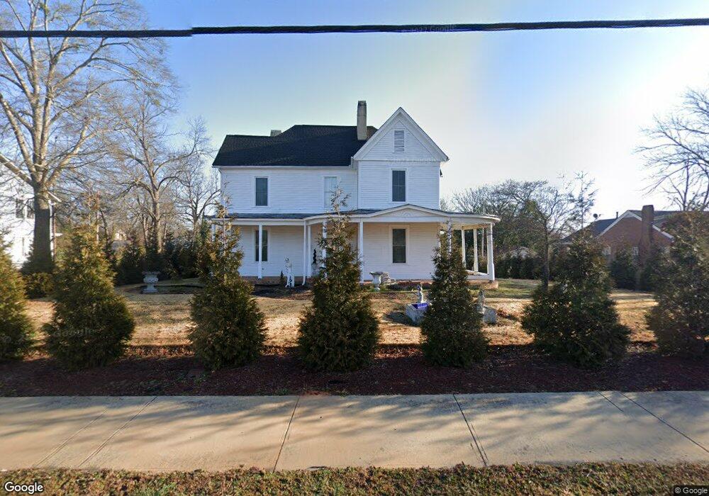
1284 S Broad St Commerce, GA 30529
Estimated Value: $550,000 - $738,000
4
Beds
2
Baths
4,647
Sq Ft
$143/Sq Ft
Est. Value
About This Home
This home is located at 1284 S Broad St, Commerce, GA 30529 and is currently estimated at $665,003, approximately $143 per square foot. 1284 S Broad St is a home located in Jackson County with nearby schools including Commerce Primary School, Commerce Elementary School, and Commerce Middle School.
Ownership History
Date
Name
Owned For
Owner Type
Purchase Details
Closed on
Sep 7, 2023
Sold by
House Robert D
Bought by
House Lijing Ling
Current Estimated Value
Purchase Details
Closed on
Dec 28, 2000
Sold by
Nunn William T
Bought by
House Robert D
Create a Home Valuation Report for This Property
The Home Valuation Report is an in-depth analysis detailing your home's value as well as a comparison with similar homes in the area
Home Values in the Area
Average Home Value in this Area
Purchase History
| Date | Buyer | Sale Price | Title Company |
|---|---|---|---|
| House Lijing Ling | -- | -- | |
| House Robert D | $145,000 | -- |
Source: Public Records
Tax History
| Year | Tax Paid | Tax Assessment Tax Assessment Total Assessment is a certain percentage of the fair market value that is determined by local assessors to be the total taxable value of land and additions on the property. | Land | Improvement |
|---|---|---|---|---|
| 2025 | $5,294 | $198,240 | $83,840 | $114,400 |
| 2024 | $5,294 | $205,560 | $116,280 | $89,280 |
| 2023 | $5,675 | $193,200 | $116,280 | $76,920 |
| 2022 | $2,777 | $85,640 | $24,160 | $61,480 |
| 2021 | $2,772 | $85,640 | $24,160 | $61,480 |
| 2020 | $2,771 | $76,480 | $24,160 | $52,320 |
| 2019 | $2,811 | $76,480 | $24,160 | $52,320 |
| 2018 | $2,698 | $74,040 | $24,160 | $49,880 |
| 2017 | $2,613 | $70,435 | $24,196 | $46,239 |
| 2016 | $2,556 | $68,589 | $24,196 | $44,393 |
| 2015 | $1,989 | $52,178 | $7,785 | $44,393 |
| 2014 | $1,976 | $51,409 | $7,785 | $43,624 |
| 2013 | -- | $51,408 | $7,785 | $43,623 |
Source: Public Records
Map
Nearby Homes
- 64 College Ave
- 172 Scott St
- 270 Victoria St
- 184 Ashford Ln
- 1029 S Elm St
- 246 Spring St
- 208 Piedmont St
- 67 Cotton St
- 161 Cotton St
- 192 Nunn St
- 94 Hillcrest St
- 80 Baugh St
- 36 Wildcat Ln
- 173 Madison St
- 994 Lakeview Dr
- 73 Highland Estates
- 580 Belmont Park Dr
- 248 Highland Estates
- 2140 N Broad St
- 200 Harris St
- 1304 S Broad St
- 1264 S Broad St
- 0 Williford St Unit 2 7598475
- 1317 S Elm St
- 1317 S Elm St Unit ONE
- 1255 S Elm St
- 1240 S Broad St
- 00 Oconee Pointe Phase II
- 1281 S Elm St
- 1269 S Elm St
- 65 Williford St
- 202 S Victoria St
- 1222 S Broad St
- 1237 S Elm St
- 178 S Victoria St
- 162 S Victoria St
- 1215 S Elm St
- 22 Ashford Ln
- 85 Williford St
- 1204 S Broad St
Your Personal Tour Guide
Ask me questions while you tour the home.