Estimated Value: $190,000 - $210,000
3
Beds
1
Bath
1,482
Sq Ft
$135/Sq Ft
Est. Value
About This Home
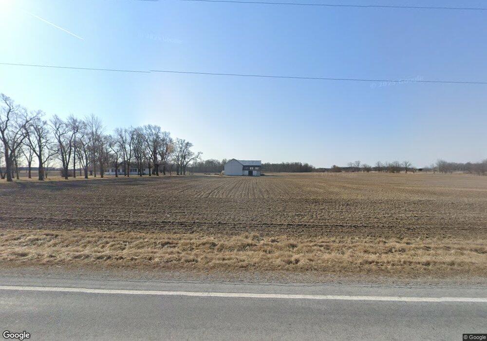
This home is located at 1284 State Route 81, Ada, OH 45810 and is currently estimated at $199,417, approximately $134 per square foot. 1284 State Route 81 is a home located in Hardin County with nearby schools including Ada Elementary School and Ada High School.
Ownership History
Date
Name
Owned For
Owner Type
Purchase Details
Closed on
Sep 30, 2011
Sold by
Dearth Dennis and Dearth Patricia
Bought by
Dearth Lance A and Dearth Nichole A
Current Estimated Value
Home Financials for this Owner
Home Financials are based on the most recent Mortgage that was taken out on this home.
Original Mortgage
$58,000
Outstanding Balance
$5,252
Interest Rate
3.41%
Mortgage Type
New Conventional
Estimated Equity
$194,165
Purchase Details
Closed on
Nov 10, 2004
Bought by
Dearth Lance A
Create a Home Valuation Report for This Property
The Home Valuation Report is an in-depth analysis detailing your home's value as well as a comparison with similar homes in the area
Home Values in the Area
Average Home Value in this Area
Purchase History
| Date | Buyer | Sale Price | Title Company |
|---|---|---|---|
| Dearth Lance A | -- | None Available | |
| Dearth Lance A | $88,000 | -- |
Source: Public Records
Mortgage History
| Date | Status | Borrower | Loan Amount |
|---|---|---|---|
| Open | Dearth Lance A | $58,000 |
Source: Public Records
Tax History Compared to Growth
Tax History
| Year | Tax Paid | Tax Assessment Tax Assessment Total Assessment is a certain percentage of the fair market value that is determined by local assessors to be the total taxable value of land and additions on the property. | Land | Improvement |
|---|---|---|---|---|
| 2024 | $1,701 | $45,580 | $13,440 | $32,140 |
| 2023 | $1,701 | $45,580 | $13,440 | $32,140 |
| 2022 | $1,481 | $34,480 | $7,220 | $27,260 |
| 2021 | $1,630 | $34,480 | $7,220 | $27,260 |
| 2020 | $1,652 | $34,480 | $7,220 | $27,260 |
| 2019 | $1,487 | $31,410 | $7,010 | $24,400 |
| 2018 | $1,451 | $31,410 | $7,010 | $24,400 |
| 2017 | $1,408 | $31,410 | $7,010 | $24,400 |
| 2016 | $1,401 | $32,890 | $6,490 | $26,400 |
| 2015 | $1,375 | $32,890 | $6,490 | $26,400 |
| 2014 | $1,371 | $32,890 | $6,490 | $26,400 |
| 2013 | $1,458 | $33,090 | $6,490 | $26,600 |
Source: Public Records
Map
Nearby Homes
- 4071 Township Road 35
- 211 W Buckeye Ave Unit 211 1/2
- 128 W North Ave
- 210 N Gilbert St
- 118 W Buckeye Ave
- 211 S Main St
- 629 N Main St
- 301 S Main St
- 613 S Gilbert St
- 617 S Gilbert St
- 623 S Gilbert St
- 710 S Main St
- 212 N Simon St
- 444 Edwards St Unit A, B
- 444 Edwards St Unit 2
- 442 Edwards St
- 314 S Simon St
- 308-310 S Simon St
- 314 E University Ave
- 2072 State Route 235
- 1295 State Route 81
- 1106 State Route 81
- 1072 State Route 81
- 1474 State Route 81
- 1441 State Route 81
- 1481 State Route 81
- 2926 Township Road 25
- 3298 Township Road 25
- 2834 Township Road 25
- 2834 Tr 25
- 836 Ohio 81
- 2790 Township Road 25
- 2795 Tr 25
- 2764 Township Road 25
- 836 State Route 81
- 2795 Township Road 25
- 781 State Route 81