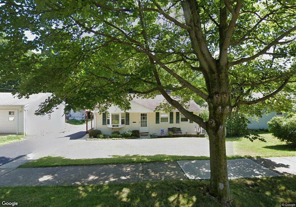
1285 Caryl Dr Bedford, OH 44146
Estimated Value: $130,000 - $168,000
3
Beds
1
Bath
875
Sq Ft
$170/Sq Ft
Est. Value
About This Home
This home is located at 1285 Caryl Dr, Bedford, OH 44146 and is currently estimated at $148,761, approximately $170 per square foot. 1285 Caryl Dr is a home located in Cuyahoga County with nearby schools including Heskett Middle School, Bedford High School, and Ohio College Preparatory School.
Ownership History
Date
Name
Owned For
Owner Type
Purchase Details
Closed on
Oct 20, 1997
Sold by
Higham Allan F
Bought by
Beck Frank J and Beck Maureen S
Current Estimated Value
Home Financials for this Owner
Home Financials are based on the most recent Mortgage that was taken out on this home.
Original Mortgage
$61,600
Outstanding Balance
$10,071
Interest Rate
7.65%
Mortgage Type
New Conventional
Estimated Equity
$138,690
Purchase Details
Closed on
Feb 19, 1991
Bought by
Tatonetti Angela M
Purchase Details
Closed on
May 23, 1988
Sold by
Drake Robert M
Bought by
Sobey David A
Purchase Details
Closed on
Jul 22, 1987
Sold by
Ashley Norma Jean
Bought by
Drake Robert M
Purchase Details
Closed on
Apr 24, 1987
Sold by
Ashley Shadrach H and N J
Bought by
Ashley Norma Jean
Purchase Details
Closed on
Jan 1, 1975
Bought by
Ashley Shadrach H and N J
Create a Home Valuation Report for This Property
The Home Valuation Report is an in-depth analysis detailing your home's value as well as a comparison with similar homes in the area
Home Values in the Area
Average Home Value in this Area
Purchase History
| Date | Buyer | Sale Price | Title Company |
|---|---|---|---|
| Beck Frank J | $77,000 | -- | |
| Tatonetti Angela M | -- | -- | |
| Sobey David A | $54,500 | -- | |
| Drake Robert M | $39,000 | -- | |
| Ashley Norma Jean | -- | -- | |
| Ashley Shadrach H | -- | -- |
Source: Public Records
Mortgage History
| Date | Status | Borrower | Loan Amount |
|---|---|---|---|
| Open | Beck Frank J | $61,600 |
Source: Public Records
Tax History Compared to Growth
Tax History
| Year | Tax Paid | Tax Assessment Tax Assessment Total Assessment is a certain percentage of the fair market value that is determined by local assessors to be the total taxable value of land and additions on the property. | Land | Improvement |
|---|---|---|---|---|
| 2024 | $3,242 | $41,825 | $11,865 | $29,960 |
| 2023 | $2,820 | $31,120 | $10,120 | $21,000 |
| 2022 | $2,497 | $31,120 | $10,120 | $21,000 |
| 2021 | $2,420 | $31,120 | $10,120 | $21,000 |
| 2020 | $2,275 | $26,150 | $8,510 | $17,640 |
| 2019 | $2,217 | $74,700 | $24,300 | $50,400 |
| 2018 | $2,204 | $26,150 | $8,510 | $17,640 |
| 2017 | $2,075 | $23,140 | $7,840 | $15,300 |
| 2016 | $2,058 | $23,140 | $7,840 | $15,300 |
| 2015 | $2,041 | $23,140 | $7,840 | $15,300 |
| 2014 | $2,041 | $25,140 | $8,510 | $16,630 |
Source: Public Records
Map
Nearby Homes
- 92 John St
- 21481 Forbes Rd
- 43 Forbes Rd
- 7262 Free Ave
- 7263 Free Ave
- 209 Dalepark Dr Unit 7
- 209 Dalepark Dr
- 80 Egbert Rd
- 194 Dalepark Dr Unit 5
- 7210 Grove Ave
- 23241 Kirkland Dr
- 7222 Grove Ave
- 7228 Grove Ave
- 6569 Pau Ct
- 24611 Ridgeline Dr
- 6538 Pau Ct
- 7349 Wright Ave
- 6604 Basswood Dr
- 6735 Basswood Dr
- 25046 Buckthorn Rd