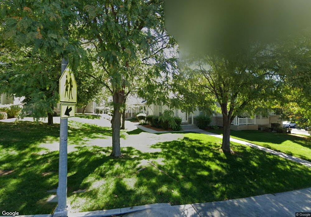
1285 E 670 N Provo, UT 84606
Foot Hills NeighborhoodEstimated Value: $509,000 - $551,820
5
Beds
4
Baths
3,518
Sq Ft
$149/Sq Ft
Est. Value
About This Home
This home is located at 1285 E 670 N, Provo, UT 84606 and is currently estimated at $525,205, approximately $149 per square foot. 1285 E 670 N is a home located in Utah County with nearby schools including Wasatch Elementary School, Centennial Middle School, and Timpview High School.
Ownership History
Date
Name
Owned For
Owner Type
Purchase Details
Closed on
May 30, 2023
Sold by
Lamoyne Gary W and Lamoyne Jeppson
Bought by
Gary W Jeppson And Lamoyne Jeppson Revocable
Current Estimated Value
Purchase Details
Closed on
May 22, 2023
Sold by
Lamoyne Gary W and Lamoyne Jeppson
Bought by
Gary W Jeppson And Lamoyne Jeppson Revocable
Purchase Details
Closed on
Dec 4, 2019
Sold by
Ckap Properties Llc
Bought by
Jeppson Gary Wayne and Jeppson Lamoyne
Purchase Details
Closed on
Feb 1, 2013
Sold by
Krueger Cade M
Bought by
Series Arlingotn Llc
Purchase Details
Closed on
Jul 2, 2012
Sold by
Magleby Francis R and Magleby Mildred B
Bought by
Krueger Cade M
Home Financials for this Owner
Home Financials are based on the most recent Mortgage that was taken out on this home.
Original Mortgage
$250,381
Interest Rate
3.75%
Mortgage Type
FHA
Purchase Details
Closed on
May 26, 1998
Sold by
North Ridge Company
Bought by
Magleby Francis R and Magleby Mildred B
Create a Home Valuation Report for This Property
The Home Valuation Report is an in-depth analysis detailing your home's value as well as a comparison with similar homes in the area
Home Values in the Area
Average Home Value in this Area
Purchase History
| Date | Buyer | Sale Price | Title Company |
|---|---|---|---|
| Gary W Jeppson And Lamoyne Jeppson Revocable | -- | None Listed On Document | |
| Gary W Jeppson And Lamoyne Jeppson Revocable | -- | None Listed On Document | |
| Jeppson Gary Wayne | -- | Invictus Title | |
| Series Arlingotn Llc | -- | None Available | |
| Krueger Cade M | -- | United West Title | |
| Magleby Francis R | -- | -- |
Source: Public Records
Mortgage History
| Date | Status | Borrower | Loan Amount |
|---|---|---|---|
| Previous Owner | Krueger Cade M | $250,381 |
Source: Public Records
Tax History
| Year | Tax Paid | Tax Assessment Tax Assessment Total Assessment is a certain percentage of the fair market value that is determined by local assessors to be the total taxable value of land and additions on the property. | Land | Improvement |
|---|---|---|---|---|
| 2025 | $2,666 | $272,470 | -- | -- |
| 2024 | $2,621 | $262,405 | $0 | $0 |
| 2023 | $2,621 | $254,320 | $0 | $0 |
| 2022 | $2,769 | $270,985 | $0 | $0 |
| 2021 | $2,171 | $370,500 | $55,600 | $314,900 |
| 2020 | $2,185 | $349,500 | $45,000 | $304,500 |
| 2019 | $2,101 | $349,500 | $45,000 | $304,500 |
| 2018 | $2,071 | $349,500 | $42,000 | $307,500 |
| 2017 | $1,956 | $181,335 | $0 | $0 |
| 2016 | $1,998 | $172,700 | $0 | $0 |
| 2015 | $1,757 | $153,450 | $0 | $0 |
| 2014 | $1,466 | $133,485 | $0 | $0 |
Source: Public Records
Map
Nearby Homes
- 532 N Seven Peaks Blvd Unit 302
- 635 N Ridge Dr Unit 25
- 907 E 820 N Unit 11
- 1040 N Oakmont Ln
- 1215 N Terrace Dr
- 905 N Terrace Dr
- 1051 E 300 N
- 785 E 560 N Unit 405
- 1205 N Old Willow Ln
- 362 N 800 E
- 737 E 750 N Unit 1
- 655 E 600 N Unit 6
- 864 E 200 N
- 990 Cedar Ave
- 541 E 500 N Unit 12
- 386 N 500 E
- 364 N 500 E
- 240 N 500 East St
- 487 N 400 E
- 1005 E 300 S
- 1285 E 670 N Unit 27
- 1281 E 670 N Unit 26
- 1289 E 670 N
- 1289 E 670 N Unit 28
- 1277 E 670 N
- 1277 E 670 N Unit 25
- 1297 E 670 N
- 1297 E 670 N Unit 29
- 1306 E 720 N
- 1301 E 670 N
- 1301 E 670 N Unit 30
- 1302 E 720 N
- 1312 E 720 N
- 1296 E 720 N
- 1316 E 720 N
- 1305 E 670 N Unit 31
- 1305 E 670 N
- 1292 E 720 N
- 1294 E 670 N
- 1298 E 670 N
Your Personal Tour Guide
Ask me questions while you tour the home.