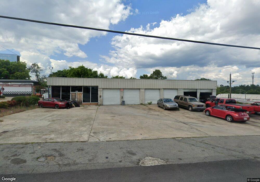
1285 Hightower Rd Macon, GA 31206
Estimated Value: $362,977
--
Bed
--
Bath
4,700
Sq Ft
$77/Sq Ft
Est. Value
About This Home
This home is located at 1285 Hightower Rd, Macon, GA 31206 and is currently estimated at $362,977, approximately $77 per square foot. 1285 Hightower Rd is a home located in Bibb County with nearby schools including Hartley Elementary School, Southwest High School, and Cirrus Charter Academy.
Ownership History
Date
Name
Owned For
Owner Type
Purchase Details
Closed on
Aug 7, 2012
Sold by
Krant Keith and Jarrett Keith
Bought by
Kendrick Investments Properties Llp
Current Estimated Value
Purchase Details
Closed on
Jan 29, 2008
Sold by
Kendrick Investment Properties Lllp
Bought by
Jarrett Keith and Grant Keith
Home Financials for this Owner
Home Financials are based on the most recent Mortgage that was taken out on this home.
Original Mortgage
$160,000
Interest Rate
6.06%
Mortgage Type
Commercial
Purchase Details
Closed on
Aug 22, 1999
Bought by
Kendrick Invstmt Prprts Lllp
Create a Home Valuation Report for This Property
The Home Valuation Report is an in-depth analysis detailing your home's value as well as a comparison with similar homes in the area
Home Values in the Area
Average Home Value in this Area
Purchase History
| Date | Buyer | Sale Price | Title Company |
|---|---|---|---|
| Kendrick Investments Properties Llp | $160,000 | None Available | |
| Jarrett Keith | $220,000 | None Available | |
| Kendrick Invstmt Prprts Lllp | $150,000 | -- |
Source: Public Records
Mortgage History
| Date | Status | Borrower | Loan Amount |
|---|---|---|---|
| Previous Owner | Jarrett Keith | $160,000 |
Source: Public Records
Tax History Compared to Growth
Tax History
| Year | Tax Paid | Tax Assessment Tax Assessment Total Assessment is a certain percentage of the fair market value that is determined by local assessors to be the total taxable value of land and additions on the property. | Land | Improvement |
|---|---|---|---|---|
| 2025 | $2,184 | $88,894 | $56,218 | $32,676 |
| 2024 | $2,258 | $88,894 | $56,218 | $32,676 |
| 2023 | $2,554 | $86,217 | $56,218 | $29,999 |
| 2022 | $2,290 | $66,143 | $44,422 | $21,721 |
| 2021 | $2,513 | $66,143 | $44,422 | $21,721 |
| 2020 | $2,568 | $66,143 | $44,422 | $21,721 |
| 2017 | $2,558 | $68,281 | $44,422 | $23,859 |
| 2016 | $2,362 | $68,280 | $44,422 | $23,859 |
| 2015 | $3,344 | $68,280 | $44,422 | $23,859 |
| 2014 | $4,082 | $72,471 | $44,422 | $28,049 |
Source: Public Records
Map
Nearby Homes
- 1066 Jessamine St
- 1062 Rose St
- 3005 Margaret Dr
- 2420 Adams Ave
- 3158 Brownell Ave
- 3064 Margaret Dr
- 2349 Mason St
- 1504 Berkshire Dr
- 1464 Williamson Rd
- 999 Ponce de Leon Cir N
- 2350 Anthony Terrace
- 1144 Carroll St
- 1121 Carroll St
- 968 Quinlan Dr
- 982 Ponce de Leon Cir S
- 981 Perdue St
- 946 Ponce de Leon Cir
- 2249 Lowe St
- 1049 Anthony Rd
- 1045 Anthony Rd
- 2730 Pio Nono Ave
- 1208 Hightower Rd
- 1191 Ruben Dr
- 1178 Ruben Dr
- 1181 Ruben Dr
- 1121 Hightower Rd
- 1121 Hightower Rd
- 1150 Hightower Rd
- 2518 Pio Nono Ave
- 1149 Ruben Dr
- 2715 Hollis Rd
- 1107 Hightower Rd
- 2809 Hollis Rd
- 1139 Ruben Dr
- 2847 Hollis Rd
- 1170 Ruben Dr
- 2879 Hollis Rd
- 2891 Hollis Rd Unit 66
- 1148 Ruben Dr
- 2661 Pine Ave