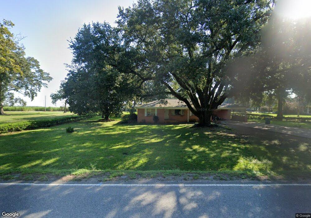
1285 Jim Rd W Other City - Not In the State of Florida, LA 70634
Estimated Value: $224,000 - $706,000
4
Beds
4
Baths
4,200
Sq Ft
$103/Sq Ft
Est. Value
About This Home
This home is located at 1285 Jim Rd W, Other City - Not In the State of Florida, LA 70634 and is currently estimated at $431,361, approximately $102 per square foot. 1285 Jim Rd W is a home located in Beauregard Parish with nearby schools including K.R. Hanchey Elementary School, Pine Wood Elementary School, and Carver Elementary School.
Ownership History
Date
Name
Owned For
Owner Type
Purchase Details
Closed on
Oct 17, 2025
Sold by
Giesbrecht Harley Lynn and Giesbrecht Stephanie Lynn
Bought by
Easter Brent E and Easter Marin S
Current Estimated Value
Home Financials for this Owner
Home Financials are based on the most recent Mortgage that was taken out on this home.
Original Mortgage
$771,625
Outstanding Balance
$771,625
Interest Rate
6.5%
Mortgage Type
VA
Estimated Equity
-$340,264
Create a Home Valuation Report for This Property
The Home Valuation Report is an in-depth analysis detailing your home's value as well as a comparison with similar homes in the area
Home Values in the Area
Average Home Value in this Area
Purchase History
| Date | Buyer | Sale Price | Title Company |
|---|---|---|---|
| Easter Brent E | $825,000 | None Listed On Document |
Source: Public Records
Mortgage History
| Date | Status | Borrower | Loan Amount |
|---|---|---|---|
| Open | Easter Brent E | $771,625 |
Source: Public Records
Tax History Compared to Growth
Tax History
| Year | Tax Paid | Tax Assessment Tax Assessment Total Assessment is a certain percentage of the fair market value that is determined by local assessors to be the total taxable value of land and additions on the property. | Land | Improvement |
|---|---|---|---|---|
| 2024 | $2,906 | $24,539 | $3,321 | $21,218 |
| 2023 | $2,731 | $22,477 | $2,469 | $20,008 |
| 2022 | $2,731 | $22,477 | $2,469 | $20,008 |
| 2021 | $2,731 | $22,477 | $2,469 | $20,008 |
| 2020 | $2,731 | $22,477 | $2,469 | $20,008 |
| 2019 | $2,743 | $22,542 | $2,534 | $20,008 |
| 2018 | $2,743 | $22,542 | $2,534 | $20,008 |
| 2017 | $2,743 | $22,542 | $2,534 | $20,008 |
| 2016 | $2,726 | $22,542 | $2,534 | $20,008 |
| 2015 | $1,758 | $22,478 | $2,470 | $20,008 |
| 2014 | $1,758 | $22,478 | $2,470 | $20,008 |
Source: Public Records
Map
Nearby Homes
- 116 W Port St
- 304 Broad St Unit Street
- 0 U S Highway 190 Unit WEST 02-5707
- 0 Tbd Shirley St
- 104 N Royal St
- 205 N Royal St
- 508 Magnolia St
- 0 Brown St Unit SWL25102366
- 108 N Division St
- 212 W 4th St
- 0 S Pine St Unit 51-188
- 0 S Pine St Unit 2-5618
- 0 S Pine St Unit SWL25101883
- 801 Shirley St
- 605 Roberts St
- 0 W Dr Tbd
- 106 N Texas St
- 115 N Texas St
- 112 S Texas St Unit S
- 507 E North St
- 306 Warren St
- 301 N Stewart St
- 215 N Stewart St
- 307 N Stewart St
- 309 N Stewart St
- 117 E Port St
- 308 W Port St Unit 308
- 0 Shirley St
- 0 Shirley St Shirley St Unit Shirley street
- 210 N Pine St
- 318 Warren St
- 0 Warren St 208 Unit 208
- 613 John Henry Jones St
- 118 Shirley St
- 312 N Stewart St
- 318 N Stewart St
- 328 Ken Williams St
- 114 N Pine St
- 314 N Pine St Unit A
- 325 Shirley St