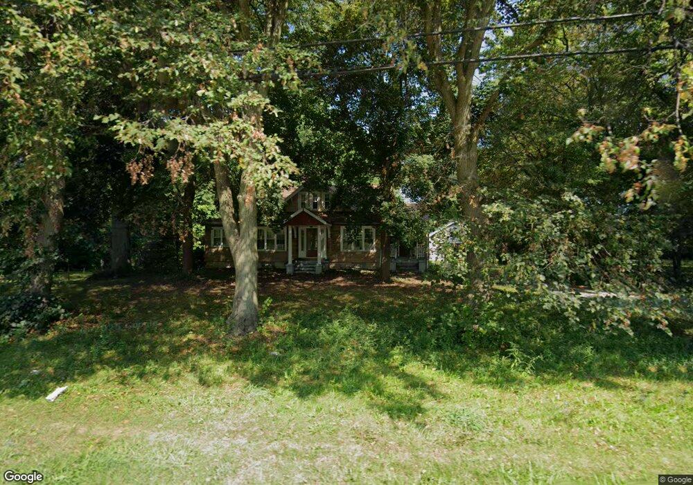
1285 Madison Ave Painesville, OH 44077
Estimated Value: $261,000 - $329,000
4
Beds
2
Baths
2,117
Sq Ft
$138/Sq Ft
Est. Value
About This Home
This home is located at 1285 Madison Ave, Painesville, OH 44077 and is currently estimated at $292,199, approximately $138 per square foot. 1285 Madison Ave is a home located in Lake County with nearby schools including Henry F. Lamuth Middle School, Riverside Junior/Senior High School, and Summit Academy Community School - Painesville.
Ownership History
Date
Name
Owned For
Owner Type
Purchase Details
Closed on
Apr 4, 2020
Sold by
Ferron Barbara
Bought by
Marthe Kenneth J and Marthe Allison I
Current Estimated Value
Home Financials for this Owner
Home Financials are based on the most recent Mortgage that was taken out on this home.
Original Mortgage
$83,460
Outstanding Balance
$73,935
Interest Rate
3.4%
Mortgage Type
FHA
Estimated Equity
$218,264
Purchase Details
Closed on
Feb 28, 1983
Bought by
Ferron Thomas G
Create a Home Valuation Report for This Property
The Home Valuation Report is an in-depth analysis detailing your home's value as well as a comparison with similar homes in the area
Home Values in the Area
Average Home Value in this Area
Purchase History
| Date | Buyer | Sale Price | Title Company |
|---|---|---|---|
| Marthe Kenneth J | $85,000 | None Available | |
| Ferron Thomas G | -- | -- |
Source: Public Records
Mortgage History
| Date | Status | Borrower | Loan Amount |
|---|---|---|---|
| Open | Marthe Kenneth J | $83,460 |
Source: Public Records
Tax History Compared to Growth
Tax History
| Year | Tax Paid | Tax Assessment Tax Assessment Total Assessment is a certain percentage of the fair market value that is determined by local assessors to be the total taxable value of land and additions on the property. | Land | Improvement |
|---|---|---|---|---|
| 2024 | -- | $84,990 | $21,280 | $63,710 |
| 2023 | $6,795 | $62,360 | $17,010 | $45,350 |
| 2022 | $3,654 | $62,360 | $17,010 | $45,350 |
| 2021 | $3,773 | $62,360 | $17,010 | $45,350 |
| 2020 | $3,612 | $54,230 | $14,790 | $39,440 |
| 2019 | $3,640 | $54,230 | $14,790 | $39,440 |
| 2018 | $3,389 | $45,010 | $10,310 | $34,700 |
| 2017 | $3,127 | $45,010 | $10,310 | $34,700 |
| 2016 | $2,754 | $45,010 | $10,310 | $34,700 |
| 2015 | $2,578 | $45,010 | $10,310 | $34,700 |
| 2014 | $2,620 | $45,010 | $10,310 | $34,700 |
| 2013 | $2,561 | $45,010 | $10,310 | $34,700 |
Source: Public Records
Map
Nearby Homes
- 302 Maplebrook Dr Unit 302
- 44 Grove Ave
- 55 Grove Ave
- 1182 Dalton Dr
- 1172 Dalton Dr
- 54 Park Rd
- 238 Radley Dr
- 1627 Cottontail Ct Unit 9
- 65 Tanners Farm Dr
- 67 Tanners Farm Dr
- 65 Country Ln
- 30 Orton Rd
- 1160 Riverside Dr
- 104 Overlook Rd
- 5418 Pebble Creek Ln
- 5406 Pebble Creek Ln
- 43 Bristol Ave
- 85 Nelmar Dr
- 396 Park Rd
- 48 Nelmar Dr
- 66 Big Rock Dr
- 1303 Madison Ave
- 60 Big Rock Dr
- 72 Big Rock Dr
- 1302 Madison Ave
- 1240 Madison Ave
- 54 Big Rock Dr
- 1312 Madison Ave
- 78 Big Rock Dr
- 1236 Madison Ave
- 1251 Madison Ave
- 1318 Madison Ave
- 48 Big Rock Dr
- 1325 Madison Ave
- 22 Bowhall Rd
- 75 Big Rock Dr
- 1294 Madison Ave
- 1257 Stonewood Ct
- 57 Big Rock Dr
- 1224 Madison Ave