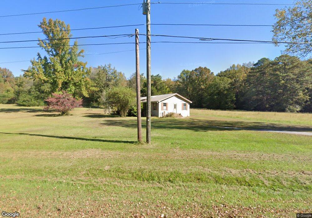
1285 Smokey Rd Alabaster, AL 35007
Estimated Value: $235,000 - $294,000
--
Bed
--
Bath
1,736
Sq Ft
$155/Sq Ft
Est. Value
About This Home
This home is located at 1285 Smokey Rd, Alabaster, AL 35007 and is currently estimated at $269,247, approximately $155 per square foot. 1285 Smokey Rd is a home located in Shelby County with nearby schools including Thompson Intermediate School, Thompson Middle School, and Thompson High School.
Ownership History
Date
Name
Owned For
Owner Type
Purchase Details
Closed on
Mar 13, 2018
Sold by
Vandiver Paula Nolen
Bought by
Sanders Jeannie Nolen
Current Estimated Value
Purchase Details
Closed on
Jan 31, 2008
Sold by
Hand Paula Dean and Vandiver Paula Dean
Bought by
Vandiver Paula Dean
Home Financials for this Owner
Home Financials are based on the most recent Mortgage that was taken out on this home.
Original Mortgage
$33,500
Interest Rate
6.12%
Mortgage Type
Unknown
Create a Home Valuation Report for This Property
The Home Valuation Report is an in-depth analysis detailing your home's value as well as a comparison with similar homes in the area
Home Values in the Area
Average Home Value in this Area
Purchase History
| Date | Buyer | Sale Price | Title Company |
|---|---|---|---|
| Sanders Jeannie Nolen | $108,000 | None Listed On Document | |
| Vandiver Paula Dean | $500 | None Available |
Source: Public Records
Mortgage History
| Date | Status | Borrower | Loan Amount |
|---|---|---|---|
| Previous Owner | Vandiver Paula Dean | $33,500 |
Source: Public Records
Tax History Compared to Growth
Tax History
| Year | Tax Paid | Tax Assessment Tax Assessment Total Assessment is a certain percentage of the fair market value that is determined by local assessors to be the total taxable value of land and additions on the property. | Land | Improvement |
|---|---|---|---|---|
| 2024 | $1,027 | $23,340 | $0 | $0 |
| 2023 | $998 | $22,680 | $0 | $0 |
| 2022 | $802 | $18,220 | $0 | $0 |
| 2021 | $725 | $16,480 | $0 | $0 |
| 2020 | $715 | $16,260 | $0 | $0 |
| 2019 | $706 | $16,040 | $0 | $0 |
| 2017 | $682 | $15,500 | $0 | $0 |
| 2015 | $352 | $8,940 | $0 | $0 |
| 2014 | $348 | $8,840 | $0 | $0 |
Source: Public Records
Map
Nearby Homes
- 303 Chestnut Ln
- 831 Smokey Rd
- 1407 Heather Ln
- 2262 Smokey Rd
- 293 Fran Dr
- 1043 Flyway View Ln
- 1517 Mitch Ln
- 268 Silver Creek Pkwy
- 1024 Henry Dr
- 1009 Canvasback Way
- Plan 2625 at Dawsons Cove
- Plan 2169 at Dawsons Cove
- Plan 2265 at Dawsons Cove
- Plan 2831 at Dawsons Cove
- 1017 Canvasback Way
- 133 Widgeon Dr
- 1017 Franks Cir
- 1136 Silver Creek Ln
- 0 Smokey Rd Unit 21376266
- 2045 Gadwall Dr
- 1411 Smokey Rd
- 107 Chestnut Dr
- 109 Chestnut Dr
- 111 Chestnut Dr
- 209 Chestnut Cir
- 209 Chestnut Cir
- 205 Chestnut Cir
- 207 Chestnut Cir
- 203 Chestnut Cir
- 201 Chestnut Cir
- 211 Chestnut Cir
- 206 Chestnut Cir
- 1521 Smokey Rd
- 110 Chestnut Dr
- 202 Chestnut Cir
- 301 Chestnut Ln
- 200 Chestnut Cir
- 208 Chestnut Cir
- 112 Chestnut Dr
- 114 Chestnut Dr