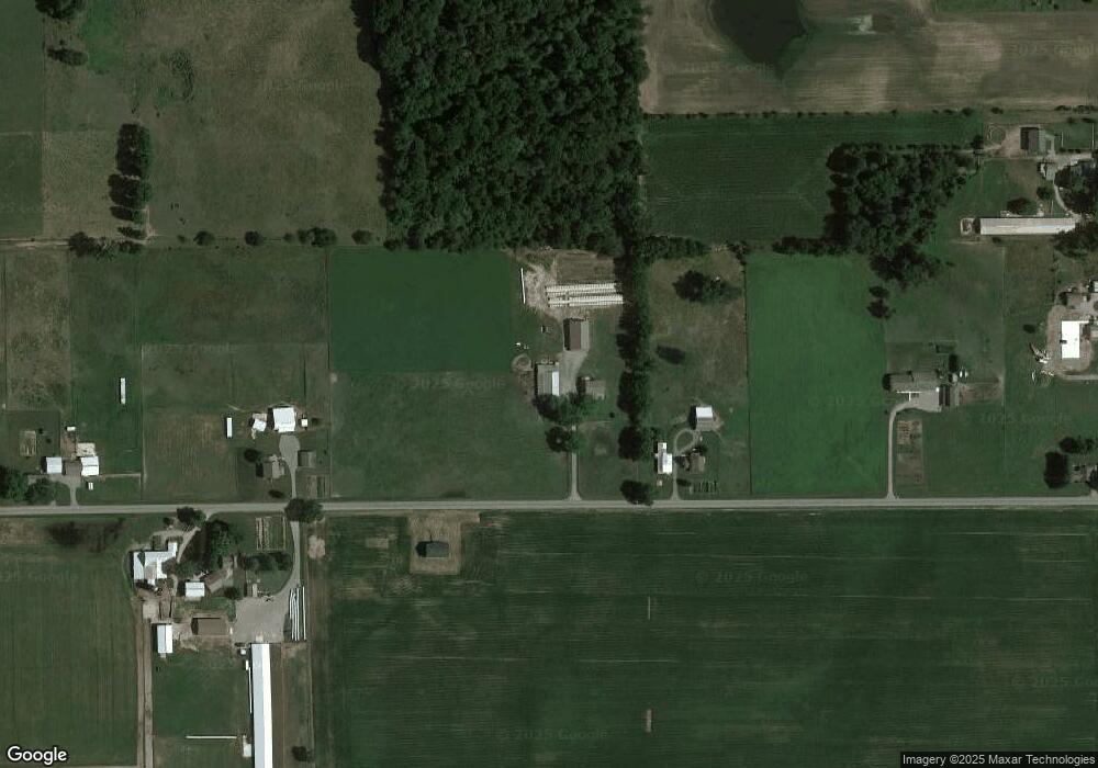
1285 W 050 N Lagrange, IN 46761
Estimated Value: $474,271 - $577,000
6
Beds
2
Baths
3,464
Sq Ft
$151/Sq Ft
Est. Value
About This Home
This home is located at 1285 W 050 N, Lagrange, IN 46761 and is currently estimated at $522,424, approximately $150 per square foot. 1285 W 050 N is a home located in LaGrange County with nearby schools including Lakeland Jr/Sr High School, Pleasant Acres School, and Maple Grove School.
Ownership History
Date
Name
Owned For
Owner Type
Purchase Details
Closed on
Aug 7, 2020
Sold by
Hochstetler Fam L Tr
Bought by
Bontrager Cristie A and Lehman Louann Ora
Current Estimated Value
Home Financials for this Owner
Home Financials are based on the most recent Mortgage that was taken out on this home.
Original Mortgage
$297,000
Outstanding Balance
$265,235
Interest Rate
3.37%
Mortgage Type
Construction
Estimated Equity
$257,189
Create a Home Valuation Report for This Property
The Home Valuation Report is an in-depth analysis detailing your home's value as well as a comparison with similar homes in the area
Purchase History
| Date | Buyer | Sale Price | Title Company |
|---|---|---|---|
| Bontrager Cristie A | $371,250 | Attorney Only |
Source: Public Records
Mortgage History
| Date | Status | Borrower | Loan Amount |
|---|---|---|---|
| Open | Bontrager Cristie A | $297,000 |
Source: Public Records
Tax History Compared to Growth
Tax History
| Year | Tax Paid | Tax Assessment Tax Assessment Total Assessment is a certain percentage of the fair market value that is determined by local assessors to be the total taxable value of land and additions on the property. | Land | Improvement |
|---|---|---|---|---|
| 2024 | $1,589 | $328,900 | $54,100 | $274,800 |
| 2023 | $1,387 | $293,800 | $50,100 | $243,700 |
| 2022 | $1,424 | $265,800 | $42,100 | $223,700 |
| 2021 | $880 | $197,000 | $37,600 | $159,400 |
| 2020 | $442 | $193,000 | $37,500 | $155,500 |
| 2019 | $651 | $194,200 | $40,200 | $154,000 |
| 2018 | $676 | $182,900 | $40,700 | $142,200 |
| 2017 | $900 | $184,500 | $40,000 | $144,500 |
| 2016 | $787 | $190,900 | $37,900 | $153,000 |
| 2014 | $627 | $148,800 | $27,600 | $121,200 |
| 2013 | $627 | $148,900 | $26,400 | $122,500 |
Source: Public Records
Map
Nearby Homes