1285 W 100 N Franklin, IN 46131
Estimated Value: $593,000 - $737,000
4
Beds
3
Baths
3,216
Sq Ft
$211/Sq Ft
Est. Value
About This Home
This home is located at 1285 W 100 N, Franklin, IN 46131 and is currently estimated at $677,669, approximately $210 per square foot. 1285 W 100 N is a home located in Johnson County with nearby schools including Creekside Elementary School, Custer Baker Intermediate School, and Franklin Community Middle School.
Ownership History
Date
Name
Owned For
Owner Type
Purchase Details
Closed on
May 29, 2009
Sold by
Jarvis Anthony M and Jarvis Bonnie M
Bought by
Hilton David A and Hilton Deanna E
Current Estimated Value
Home Financials for this Owner
Home Financials are based on the most recent Mortgage that was taken out on this home.
Original Mortgage
$240,000
Outstanding Balance
$152,125
Interest Rate
4.83%
Mortgage Type
New Conventional
Estimated Equity
$525,544
Create a Home Valuation Report for This Property
The Home Valuation Report is an in-depth analysis detailing your home's value as well as a comparison with similar homes in the area
Home Values in the Area
Average Home Value in this Area
Purchase History
| Date | Buyer | Sale Price | Title Company |
|---|---|---|---|
| Hilton David A | -- | None Available |
Source: Public Records
Mortgage History
| Date | Status | Borrower | Loan Amount |
|---|---|---|---|
| Open | Hilton David A | $240,000 |
Source: Public Records
Tax History Compared to Growth
Tax History
| Year | Tax Paid | Tax Assessment Tax Assessment Total Assessment is a certain percentage of the fair market value that is determined by local assessors to be the total taxable value of land and additions on the property. | Land | Improvement |
|---|---|---|---|---|
| 2025 | $5,013 | $517,000 | $63,500 | $453,500 |
| 2024 | $5,013 | $413,500 | $62,600 | $350,900 |
| 2023 | $4,995 | $407,600 | $55,700 | $351,900 |
| 2022 | $4,755 | $392,300 | $55,700 | $336,600 |
| 2021 | $4,076 | $337,900 | $45,600 | $292,300 |
| 2020 | $4,106 | $340,400 | $45,500 | $294,900 |
| 2019 | $3,903 | $321,800 | $46,800 | $275,000 |
| 2018 | $3,159 | $285,100 | $50,300 | $234,800 |
| 2017 | $3,082 | $270,900 | $50,300 | $220,600 |
| 2016 | $3,438 | $265,600 | $50,300 | $215,300 |
| 2014 | $3,379 | $299,900 | $51,100 | $248,800 |
| 2013 | $3,379 | $300,100 | $48,600 | $251,500 |
Source: Public Records
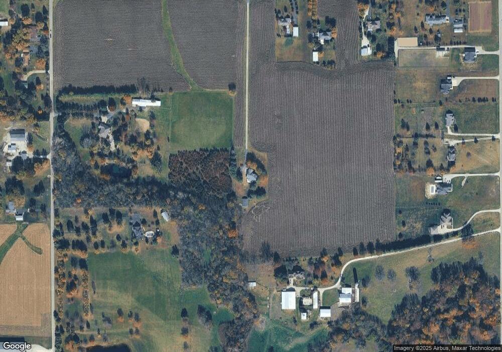
Map
Nearby Homes
- 1982 W 100 N
- 00 W State Road 144
- 2032 Partridge Dr
- 2090 Partridge Dr
- 2150 Partridge Dr
- 4051 W 100 N
- 2160 Partridge Dr
- 317 W State Road 44
- 00 N State Road 135
- 02 S 100 W
- 03 S 100 W
- 01 S 100 W
- 1007 Belgium Blvd
- 602 Hospital Rd
- 988 Belgium Blvd
- 930 Belgium Blvd
- Norway Plan at Westwind at Cumberland
- Bradford Plan at Westwind at Cumberland
- Juniper Plan at Westwind at Cumberland
- Aspen II Plan at Westwind at Cumberland