Estimated Value: $65,000 - $729,826
Studio
--
Bath
--
Sq Ft
439,956
Sq Ft Lot
About This Home
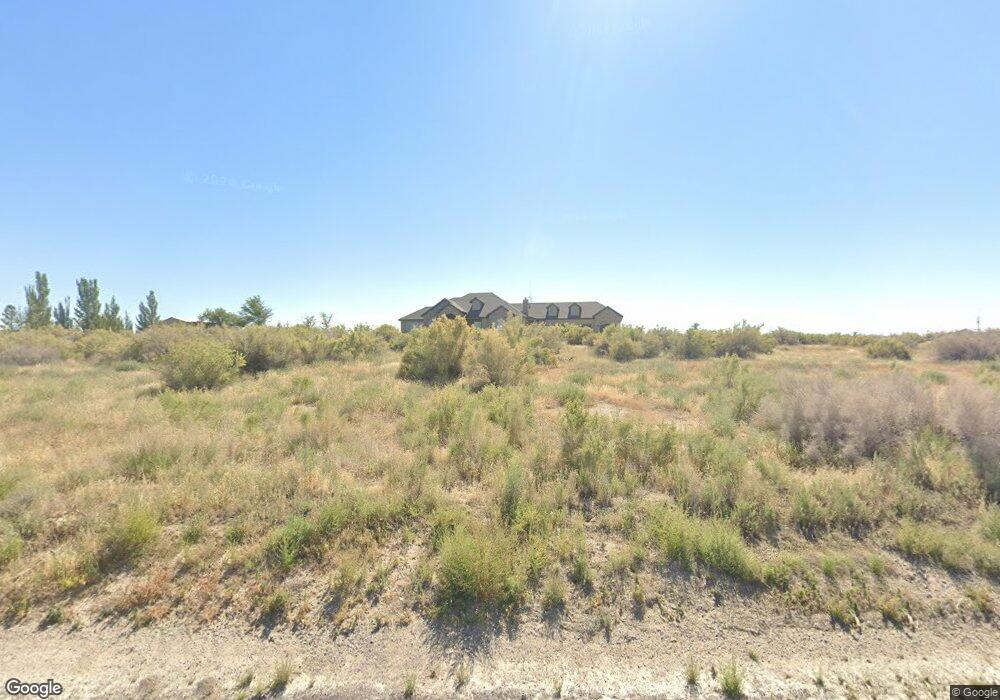
This home is located at 1285 W Ashby Rd, Delta, UT 84624 and is currently estimated at $376,942. 1285 W Ashby Rd is a home.
Ownership History
Date
Name
Owned For
Owner Type
Purchase Details
Closed on
Mar 13, 2014
Sold by
Lyman Ray E and Lyman Colleen M
Bought by
Lyman Ray E and Lyman Colleen M
Current Estimated Value
Home Financials for this Owner
Home Financials are based on the most recent Mortgage that was taken out on this home.
Original Mortgage
$268,800
Outstanding Balance
$202,439
Interest Rate
4.25%
Mortgage Type
New Conventional
Estimated Equity
$174,503
Purchase Details
Closed on
Apr 21, 2012
Sold by
Edwards Wayne L and Edewards Jean A
Bought by
Lyman Ray Edward and Lyman Colleen M
Create a Home Valuation Report for This Property
The Home Valuation Report is an in-depth analysis detailing your home's value as well as a comparison with similar homes in the area
Purchase History
| Date | Buyer | Sale Price | Title Company |
|---|---|---|---|
| Lyman Ray E | -- | Juab Ttile & Abstract Co | |
| Lyman Ray E | -- | Juab Title & Abstract Co | |
| Lyman Ray Edward | -- | -- |
Source: Public Records
Mortgage History
| Date | Status | Borrower | Loan Amount |
|---|---|---|---|
| Open | Lyman Ray E | $268,800 | |
| Closed | Lyman Ray E | $268,800 |
Source: Public Records
Tax History
| Year | Tax Paid | Tax Assessment Tax Assessment Total Assessment is a certain percentage of the fair market value that is determined by local assessors to be the total taxable value of land and additions on the property. | Land | Improvement |
|---|---|---|---|---|
| 2025 | $3,769 | $464,586 | $26,530 | $438,056 |
| 2024 | $3,769 | $429,882 | $18,482 | $411,400 |
| 2023 | $4,192 | $429,882 | $18,482 | $411,400 |
| 2022 | $3,141 | $278,552 | $17,390 | $261,162 |
| 2021 | $2,438 | $208,700 | $15,740 | $192,960 |
| 2020 | $2,344 | $202,125 | $16,650 | $185,475 |
| 2019 | $2,256 | $196,303 | $16,650 | $179,653 |
| 2018 | $2,056 | $183,510 | $16,650 | $166,860 |
| 2017 | $2,107 | $180,210 | $13,350 | $166,860 |
| 2016 | $2,012 | $180,210 | $13,350 | $166,860 |
| 2015 | $2,011 | $180,210 | $13,350 | $166,860 |
| 2014 | -- | $180,210 | $13,350 | $166,860 |
| 2013 | -- | $10,112 | $10,112 | $0 |
Source: Public Records
Map
Nearby Homes
- 1221 W Ashby Rd
- 1375 W Ashby Rd
- 1165 W Ashby Rd
- 1124 W Ashby Rd
- 1095 W Ashby Rd
- 1122 W Ashby Rd
- 1112 W Ashby Rd
- 0 W Ashby Rd Unit 25-260291
- 0 W Ashby Rd Unit 4
- 4 W Ashby Rd Unit 4
- 1475 W Ashby Rd
- 1105 W Ashby Rd
- 1510 W Ashby Rd
- 1055 W Ashby Rd
- 1476 W Ashby Rd
- 1064 W Ashby Rd
- 4130 N Jones Rd
- 1401 W 4500 N
- 4240 N Jones Rd
- 4260 N Jones Rd
Your Personal Tour Guide
Ask me questions while you tour the home.