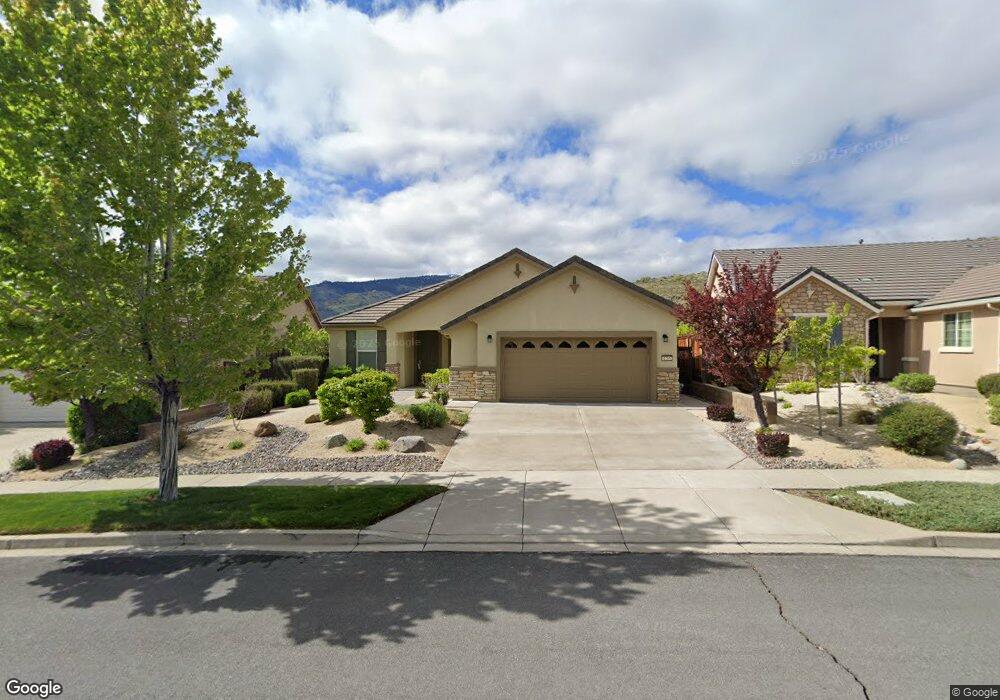
1285 Walking Stick Way Reno, NV 89523
Somersett NeighborhoodEstimated Value: $629,438 - $692,000
2
Beds
2
Baths
1,824
Sq Ft
$367/Sq Ft
Est. Value
About This Home
This home is located at 1285 Walking Stick Way, Reno, NV 89523 and is currently estimated at $668,860, approximately $366 per square foot. 1285 Walking Stick Way is a home located in Washoe County with nearby schools including B D Billinghurst Middle School and Robert McQueen High School.
Ownership History
Date
Name
Owned For
Owner Type
Purchase Details
Closed on
Sep 28, 2016
Sold by
Hermann Eleanor M
Bought by
Hermann Eleanor M and The Hermann Surviving Spouses Trust
Current Estimated Value
Purchase Details
Closed on
Aug 28, 2007
Sold by
Pn Ii Inc
Bought by
Hermann Harold F and Hermann Eleanor M
Create a Home Valuation Report for This Property
The Home Valuation Report is an in-depth analysis detailing your home's value as well as a comparison with similar homes in the area
Home Values in the Area
Average Home Value in this Area
Purchase History
| Date | Buyer | Sale Price | Title Company |
|---|---|---|---|
| Hermann Eleanor M | -- | None Available | |
| Hermann Harold F | $411,500 | First American Title |
Source: Public Records
Tax History Compared to Growth
Tax History
| Year | Tax Paid | Tax Assessment Tax Assessment Total Assessment is a certain percentage of the fair market value that is determined by local assessors to be the total taxable value of land and additions on the property. | Land | Improvement |
|---|---|---|---|---|
| 2026 | $2,638 | $133,237 | $45,500 | $87,737 |
| 2025 | $3,423 | $131,879 | $42,805 | $89,074 |
| 2024 | $3,423 | $126,182 | $36,680 | $89,502 |
| 2023 | $3,327 | $127,656 | $43,190 | $84,466 |
| 2022 | $3,228 | $103,928 | $33,775 | $70,153 |
| 2021 | $3,134 | $96,046 | $26,215 | $69,831 |
| 2020 | $3,039 | $97,663 | $28,385 | $69,278 |
| 2019 | $2,951 | $96,236 | $30,310 | $65,926 |
| 2018 | $2,866 | $85,369 | $21,000 | $64,369 |
| 2017 | $2,783 | $84,095 | $19,775 | $64,320 |
| 2016 | $2,711 | $83,794 | $18,235 | $65,559 |
| 2015 | $2,031 | $81,222 | $15,995 | $65,227 |
| 2014 | $2,627 | $78,276 | $15,085 | $63,191 |
| 2013 | -- | $69,558 | $10,780 | $58,778 |
Source: Public Records
Map
Nearby Homes
- 9380 Copper Mountain Cir
- 9190 Quilberry Way
- 1240 Cliff Park Way
- 1380 Wakefield Trail
- 1220 Cliff Park Way
- 9161 Quilberry Way
- 1170 Cliff Park Way
- 9225 Sassafras Trail
- 9165 Kenton Trail
- 861 Larrimore Trail
- 1591 Elk Run Trail
- 0 Mountain Daisy Rd
- 0 Mountain Haven Ln
- 1590 Scott Valley Rd
- 270 Mogul Mountain Dr
- 1755 Back Nine Trail
- 1640 Scott Valley Rd
- 1671 Crescent Pointe Ct
- 35 Mogul Mountain Cir
- 8770 Lost Creek Ct
- 1275 Walking Stick Way
- 1295 Walking Stick Way
- 1265 Walking Stick Way
- 1305 Walking Stick Way
- 1330 Walking Stick Way
- 1255 Walking Stick Way
- 1320 Walking Stick Way
- 1270 Sugar Creek Trail
- 1245 Walking Stick Way Unit n/a
- 1245 Walking Stick Way
- 1280 Sugar Creek Trail
- 1350 Walking Stick Way
- 9200 Walking Stick Ct
- 1235 Walking Stick Way
- 1260 Sugar Creek Trail
- 9210 Walking Stick Ct
- 1315 Hidden River Way
- 1305 Hidden River Way
- 1360 Walking Stick Way
- 1325 Hidden River Way