Estimated Value: $250,000 - $380,000
--
Bed
1
Bath
1,098
Sq Ft
$288/Sq Ft
Est. Value
About This Home
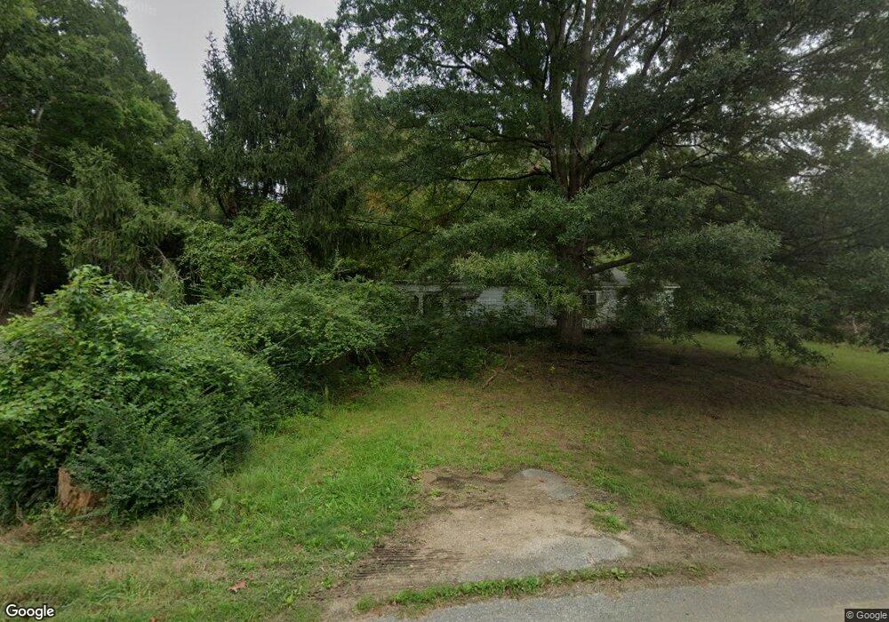
This home is located at 12856 Mccready Rd, Lusby, MD 20657 and is currently estimated at $316,298, approximately $288 per square foot. 12856 Mccready Rd is a home located in Calvert County with nearby schools including Dowell Elementary School, Mill Creek Middle School, and Patuxent High School.
Ownership History
Date
Name
Owned For
Owner Type
Purchase Details
Closed on
Nov 9, 2020
Sold by
Pan Olympus Llc
Bought by
Patterson Mark A and Stewart Patterson Jennifer
Current Estimated Value
Purchase Details
Closed on
Apr 27, 2017
Sold by
Reese Judith A and The Estatte Of James John Blck
Bought by
Pan Olympus Llc
Purchase Details
Closed on
Feb 18, 1982
Sold by
El Paso Polyolefins Co
Bought by
Black James John
Home Financials for this Owner
Home Financials are based on the most recent Mortgage that was taken out on this home.
Original Mortgage
$47,000
Interest Rate
17.65%
Purchase Details
Closed on
Aug 27, 1981
Sold by
Brown Richard J and Brown Sarah L
Bought by
El Paso Polyolefins Co
Create a Home Valuation Report for This Property
The Home Valuation Report is an in-depth analysis detailing your home's value as well as a comparison with similar homes in the area
Home Values in the Area
Average Home Value in this Area
Purchase History
| Date | Buyer | Sale Price | Title Company |
|---|---|---|---|
| Patterson Mark A | $42,500 | None Available | |
| Pan Olympus Llc | $53,333 | Champion Title & Settlements | |
| Black James John | $47,000 | -- | |
| El Paso Polyolefins Co | $48,300 | -- |
Source: Public Records
Mortgage History
| Date | Status | Borrower | Loan Amount |
|---|---|---|---|
| Previous Owner | Black James John | $47,000 |
Source: Public Records
Tax History Compared to Growth
Tax History
| Year | Tax Paid | Tax Assessment Tax Assessment Total Assessment is a certain percentage of the fair market value that is determined by local assessors to be the total taxable value of land and additions on the property. | Land | Improvement |
|---|---|---|---|---|
| 2025 | $2,166 | $188,367 | $0 | $0 |
| 2024 | $2,166 | $180,633 | $0 | $0 |
| 2023 | $2,010 | $172,900 | $109,500 | $63,400 |
| 2022 | $1,971 | $169,433 | $0 | $0 |
| 2021 | $1,971 | $165,967 | $0 | $0 |
| 2020 | $1,902 | $162,500 | $109,500 | $53,000 |
| 2019 | $1,705 | $162,500 | $109,500 | $53,000 |
| 2018 | $1,705 | $162,500 | $109,500 | $53,000 |
| 2017 | $1,938 | $165,400 | $0 | $0 |
| 2016 | -- | $164,900 | $0 | $0 |
| 2015 | $2,162 | $164,400 | $0 | $0 |
| 2014 | $2,162 | $163,900 | $0 | $0 |
Source: Public Records
Map
Nearby Homes
- 12855 Mccready Rd
- 1319 Bucks Ln
- 1420 Gregg Dr
- 253, 257, 261 Juls Way
- 12890 Hg Trueman Rd
- 13400 Lore Pines Ln
- 119 Newtown Rd
- 217 Pelagic Ln
- 103 Square Rigger Way
- 13586 Darlenes Ct
- 222 Driftwood Ln
- 301 Driftwood Ln
- 533 Runabout Loop
- 400 Shipyard Way
- 534 Runabout Loop
- 735 Runabout Loop
- 496 Twin Cove Ln
- 12075 Hg Trueman Rd
- 880 Johnswoods Rd
- 513 Oyster Bay Place
- 12784 Hungerford Rd
- 12861 Mccready Rd
- 12870 Mccready Rd
- 12781 Hungerford Rd
- 12862 Mccready Rd
- 12867 Mccready Rd
- 915 Hungerford Rd
- 12876 Mccready Rd
- 12873 Mccready Rd
- 12756 Blair Rd
- 12845 Mccready Rd
- 12878 Mccready Rd
- 12764 Hungerford Rd
- 902 Hungerford Rd
- 12752 Blair Rd
- 906 Hungerford Rd
- 930 Hungerford Rd
- 930 Blair Rd
- 12748 Blair Rd
- 12753 Blair Rd