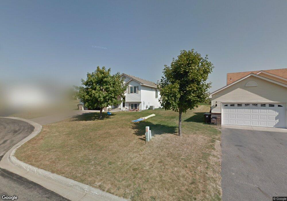
1286 Agate Ct Sauk Rapids, MN 56379
Estimated Value: $292,249 - $305,000
About This Home
This home is located at 1286 Agate Ct, Sauk Rapids, MN 56379 and is currently estimated at $300,062, approximately $147 per square foot. 1286 Agate Ct is a home located in Benton County with nearby schools including Mississippi Heights Elementary School, Sauk Rapids-Rice Middle School, and Sauk Rapids-Rice Senior High School.
Ownership History
We collect this data history from publicly available records. To have your information removed, we recommend requesting removal directly through your county’s website.
Purchase Details
Home Financials for this Owner
Home Financials are based on the most recent Mortgage that was taken out on this home.Purchase Details
Home Financials for this Owner
Home Financials are based on the most recent Mortgage that was taken out on this home.Purchase Details
Home Financials for this Owner
Home Financials are based on the most recent Mortgage that was taken out on this home.Home Values in the Area
Average Home Value in this Area
Purchase History
We collect this data history from publicly available records. To have your information removed, we recommend requesting removal directly through your county’s website.
| Date | Buyer | Sale Price | Title Company |
|---|---|---|---|
| $194,900 | Stearns Cnty Abstract & Ttl | ||
| $185,000 | Quarry Title & Closing Llc | ||
| -- | -- |
Mortgage History
We collect this data history from publicly available records. To have your information removed, we recommend requesting removal directly through your county’s website.
| Date | Status | Borrower | Loan Amount |
|---|---|---|---|
| Open | $157,120 | ||
| Previous Owner | $175,750 | ||
| Previous Owner | $21,000 |
Tax History
We collect this data history from publicly available records. To have your information removed, we recommend requesting removal directly through your county’s website.
| Year | Tax Paid | Tax Assessment Tax Assessment Total Assessment is a certain percentage of the fair market value that is determined by local assessors to be the total taxable value of land and additions on the property. | Land | Improvement |
|---|---|---|---|---|
| 2025 | $2,856 | $247,200 | $33,500 | $213,700 |
| 2024 | $2,878 | $242,900 | $33,500 | $209,400 |
| 2023 | $2,702 | $248,800 | $33,500 | $215,300 |
| 2022 | $2,520 | $216,700 | $30,500 | $186,200 |
| 2021 | $2,292 | $187,500 | $30,500 | $157,000 |
| 2020 | $2,550 | $173,600 | $29,300 | $144,300 |
| 2018 | $1,922 | $127,000 | $24,692 | $102,308 |
| 2017 | $1,922 | $116,200 | $24,181 | $92,019 |
| 2016 | $1,850 | $137,400 | $29,300 | $108,100 |
| 2015 | $1,876 | $102,600 | $23,431 | $79,169 |
| 2014 | -- | $97,700 | $23,123 | $74,577 |
| 2013 | -- | $98,900 | $23,201 | $75,699 |
Map
- 1281 Agate Ct
- 1263 Stone Ridge Rd
- 1124 Garden Brook Dr
- 1154 Garden Brook Dr
- 1130 Hillside Rd
- 1211 Hillside Rd
- 1002 Brook Ct
- 1000 10th Ave NE
- 1408 10th St NE
- xxx Lot 3
- 1545 18th St NE
- 1802 Perennial Ln NE
- xxx Lot 2
- 970 Golden Spike Rd NE
- 1503 Park View Ln NE
- 880 Golden Spike Rd NE
- 1615 Park View Ln NE
- 1661 Park View Ln NE
- 55xx Mayhew Lake Rd NE
- TBD Golden Spike Rd
- 1288 Agate Ct
- 1287 Agate Ct
- 1286 Stone Ridge Rd
- 1284 Agate Ct
- 1280 Stone Ridge Rd
- 1288 Stone Ridge Rd
- 1285 Agate Ct
- 1283 Agate Ct
- 1278 Stone Ridge Rd
- 1290 Stone Ridge Rd
- 1276 Stone Ridge Rd
- 1293 Fieldstone Dr
- 1285 Fieldstone Dr
- 1272 Stone Ridge Rd
- 1295 Fieldstone Dr
- 1283 Stone Ridge Rd
- 1281 Stone Ridge Rd
- 1287 Stone Ridge Rd
- 1292 Stone Ridge Rd
- 1279 Stone Ridge Rd
Ask me questions while you tour the home.