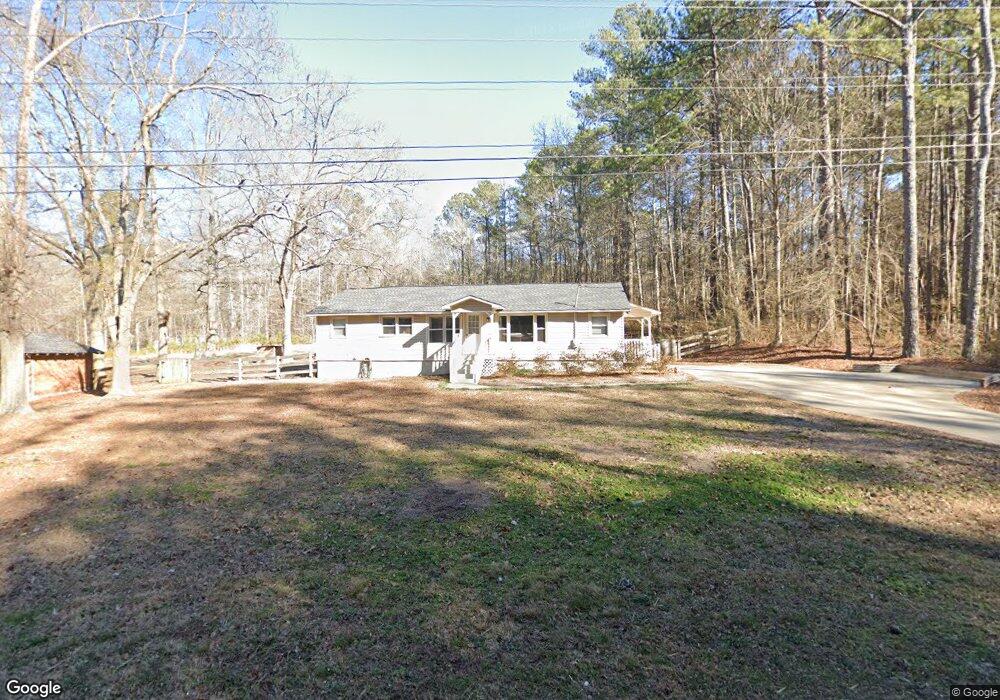
1286 Cartersville Hwy Unit N/a Dallas, GA 30132
East Paulding County NeighborhoodEstimated Value: $185,000 - $276,000
2
Beds
1
Bath
1,263
Sq Ft
$175/Sq Ft
Est. Value
About This Home
This home is located at 1286 Cartersville Hwy Unit N/a, Dallas, GA 30132 and is currently estimated at $220,755, approximately $174 per square foot. 1286 Cartersville Hwy Unit N/a is a home located in Paulding County with nearby schools including Northside Elementary School, Herschel Jones Middle School, and North Paulding High School.
Ownership History
Date
Name
Owned For
Owner Type
Purchase Details
Closed on
Jan 31, 2017
Sold by
Miller Raymond E
Bought by
Jerles Howard and Hodges Jerles Christine M
Current Estimated Value
Home Financials for this Owner
Home Financials are based on the most recent Mortgage that was taken out on this home.
Original Mortgage
$68,571
Outstanding Balance
$56,774
Interest Rate
4.2%
Mortgage Type
New Conventional
Estimated Equity
$163,981
Create a Home Valuation Report for This Property
The Home Valuation Report is an in-depth analysis detailing your home's value as well as a comparison with similar homes in the area
Home Values in the Area
Average Home Value in this Area
Purchase History
| Date | Buyer | Sale Price | Title Company |
|---|---|---|---|
| Jerles Howard | $85,714 | -- |
Source: Public Records
Mortgage History
| Date | Status | Borrower | Loan Amount |
|---|---|---|---|
| Open | Jerles Howard | $68,571 |
Source: Public Records
Tax History Compared to Growth
Tax History
| Year | Tax Paid | Tax Assessment Tax Assessment Total Assessment is a certain percentage of the fair market value that is determined by local assessors to be the total taxable value of land and additions on the property. | Land | Improvement |
|---|---|---|---|---|
| 2024 | $1,562 | $62,792 | $15,680 | $47,112 |
| 2023 | $1,591 | $61,028 | $15,280 | $45,748 |
| 2022 | $1,384 | $53,080 | $12,600 | $40,480 |
| 2021 | $1,196 | $41,152 | $10,640 | $30,512 |
| 2020 | $1,121 | $37,748 | $10,640 | $27,108 |
| 2019 | $1,071 | $35,548 | $10,120 | $25,428 |
| 2018 | $760 | $25,240 | $8,520 | $16,720 |
| 2017 | $722 | $23,640 | $8,520 | $15,120 |
| 2016 | $614 | $20,296 | $8,120 | $12,176 |
| 2015 | $562 | $18,256 | $7,240 | $11,016 |
| 2014 | $523 | $16,576 | $6,920 | $9,656 |
| 2013 | -- | $14,880 | $7,720 | $7,160 |
Source: Public Records
Map
Nearby Homes
- 000 Westminster Way
- 69 Walraven Place
- 24 Polk Path
- 304 Oscar Way
- 195 Harvard Place
- 0 Polk Ln Unit 25025134
- 67 Polk Ln
- 853 Mount Olivet Rd
- Spruce Plan at Meadow Pines - Bungalow Series
- Mulberry Plan at Meadow Pines - Bungalow Series
- Linden Plan at Meadow Pines - Bungalow Series
- Hawthorne Plan at Meadow Pines - Bungalow Series
- Aspen Plan at Meadow Pines - Bungalow Series
- 204 Polk Ave Unit 1
- 109 Westwood Dr
- 200 Polk Ave
- 205 Hart Cir
- 18 Mountain Ct
- 272 Kades Cove Dr
- 220 Confederate Ave
- 1286 Cartersville Hwy
- 1324 Cartersville Hwy
- 1278 Cartersville Hwy
- 1193 Cartersville Hwy
- 2375 Old Yorkville Rd
- 1365 Cartersville Hwy
- 127 Old Cartersville Rd
- 541 Old Cartersville Rd
- 359 Old Cartersville Rd
- 1047 Cartersville Hwy
- 335 Old Cartersville Rd
- 418 Old Cartersville Rd
- 1510 Cartersville Hwy
- 456 Old Cartersville Rd
- 398 Old Cartersville Rd
- 255 Old Cartersville Rd
- 00 Old Cartersville Rd
- 360 Old Cartersville Rd
- 340 Old Cartersville Rd
- 100 Old Cartersville Rd