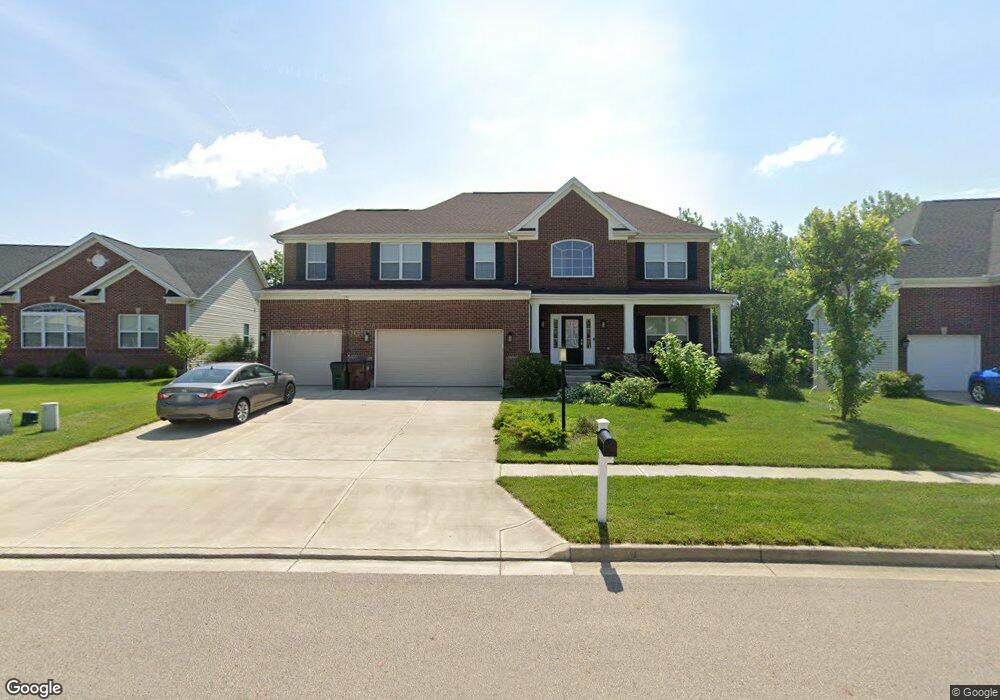
1286 Freedom Point Beavercreek, OH 45434
Estimated Value: $495,116 - $582,000
4
Beds
3
Baths
2,496
Sq Ft
$217/Sq Ft
Est. Value
About This Home
This home is located at 1286 Freedom Point, Beavercreek, OH 45434 and is currently estimated at $541,279, approximately $216 per square foot. 1286 Freedom Point is a home located in Greene County with nearby schools including Trebein Elementary School, Jacob Coy Middle School, and Beavercreek High School.
Ownership History
Date
Name
Owned For
Owner Type
Purchase Details
Closed on
Jul 7, 2016
Sold by
M L Huddleston Constrn Co
Bought by
Christmas Mary L and Christmas Michael R
Current Estimated Value
Home Financials for this Owner
Home Financials are based on the most recent Mortgage that was taken out on this home.
Original Mortgage
$332,080
Outstanding Balance
$260,955
Interest Rate
3.6%
Mortgage Type
New Conventional
Estimated Equity
$280,324
Create a Home Valuation Report for This Property
The Home Valuation Report is an in-depth analysis detailing your home's value as well as a comparison with similar homes in the area
Home Values in the Area
Average Home Value in this Area
Purchase History
| Date | Buyer | Sale Price | Title Company |
|---|---|---|---|
| Christmas Mary L | $415,200 | None Available | |
| Constrn M L Huddleston | -- | None Available |
Source: Public Records
Mortgage History
| Date | Status | Borrower | Loan Amount |
|---|---|---|---|
| Open | Constrn M L Huddleston | $332,080 | |
| Closed | Christmas Mary L | $332,080 |
Source: Public Records
Tax History
| Year | Tax Paid | Tax Assessment Tax Assessment Total Assessment is a certain percentage of the fair market value that is determined by local assessors to be the total taxable value of land and additions on the property. | Land | Improvement |
|---|---|---|---|---|
| 2025 | $9,805 | $148,740 | $22,600 | $126,140 |
| 2024 | $9,805 | $148,740 | $22,600 | $126,140 |
| 2023 | $9,711 | $148,740 | $22,600 | $126,140 |
| 2022 | $8,747 | $118,270 | $17,380 | $100,890 |
| 2021 | $8,569 | $118,270 | $17,380 | $100,890 |
| 2020 | $8,634 | $118,270 | $17,380 | $100,890 |
| 2019 | $9,301 | $116,260 | $17,870 | $98,390 |
| 2018 | $8,210 | $116,260 | $17,870 | $98,390 |
| 2017 | $1,065 | $116,260 | $17,870 | $98,390 |
| 2016 | $1,066 | $14,290 | $14,290 | $0 |
| 2015 | $1,060 | $14,290 | $14,290 | $0 |
| 2014 | -- | $14,290 | $14,290 | $0 |
Source: Public Records
Map
Nearby Homes
- 1260 Camden Trace
- 2331 Wedgewood Dr
- 2267 Old Post Rd
- 2331 Eastwind Dr
- 1446 Long Island Ct
- 1608 Windham Ln
- 895 Alpha Rd
- 1613 Stonebury Ct
- 2282 Whitey Marshall Dr
- 1475 Runnymeade Way
- 1482 Runnymeade Way
- 1464 Triple Crown Way
- 1445 Runnymeade Way
- 1957 John Bull W
- 2418 Owen Cir W
- 1413 Runnymeade Way
- 1462 Champions Way
- 1382 Fudge Dr
- 1359 Fudge Dr
- 1140 Fudge Dr
- 1282 Freedom Point
- 1290 Freedom Point
- 1278 Freedom Point
- 1294 Freedom Point
- 1285 Freedom Pointe
- 1289 Freedom Point
- 1281 Freedom Point
- 1274 Freedom Point
- 1293 Freedom Point
- 1298 Freedom Point
- 1297 Freedom Point
- 1275 Freedom Point
- 1268 Freedom Point
- 1302 Freedom Point
- 1302 Freedom Pointe
- 1271 Freedom Point
- 1301 Freedom Point
- 1264 Freedom Pointe
- 1265 Freedom Point
- 1306 Freedom Point
Your Personal Tour Guide
Ask me questions while you tour the home.