12860 Horton Ln Saint Louis, MO 63131
Estimated Value: $2,311,082 - $2,963,000
4
Beds
7
Baths
7,284
Sq Ft
$359/Sq Ft
Est. Value
About This Home
This home is located at 12860 Horton Ln, Saint Louis, MO 63131 and is currently estimated at $2,615,771, approximately $359 per square foot. 12860 Horton Ln is a home located in St. Louis County with nearby schools including Mason Ridge Elementary School, Parkway West Middle School, and Parkway West High School.
Ownership History
Date
Name
Owned For
Owner Type
Purchase Details
Closed on
Mar 3, 2023
Sold by
Craig C Witbart Trust
Bought by
Craig C Witbart And Judith L Witbart Joint Re
Current Estimated Value
Purchase Details
Closed on
May 31, 2007
Sold by
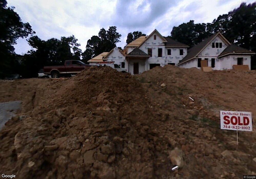
De Shetler Homes Inc
Bought by
Witbart Craig C and Witbart Judith L
Purchase Details
Closed on
Dec 15, 2006
Sold by
Andrews Mary F and Andrews Marybill
Bought by
De Shetler Homes Inc
Create a Home Valuation Report for This Property
The Home Valuation Report is an in-depth analysis detailing your home's value as well as a comparison with similar homes in the area
Home Values in the Area
Average Home Value in this Area
Purchase History
| Date | Buyer | Sale Price | Title Company |
|---|---|---|---|
| Craig C Witbart And Judith L Witbart Joint Re | -- | -- | |
| Witbart Craig C | $773,790 | Ort | |
| De Shetler Homes Inc | $700,000 | Ort |
Source: Public Records
Tax History Compared to Growth
Tax History
| Year | Tax Paid | Tax Assessment Tax Assessment Total Assessment is a certain percentage of the fair market value that is determined by local assessors to be the total taxable value of land and additions on the property. | Land | Improvement |
|---|---|---|---|---|
| 2025 | $22,864 | $473,200 | $100,890 | $372,310 |
| 2024 | $22,864 | $393,030 | $89,680 | $303,350 |
| 2023 | $21,638 | $393,030 | $89,680 | $303,350 |
| 2022 | $23,165 | $382,360 | $100,890 | $281,470 |
| 2021 | $22,973 | $382,360 | $100,890 | $281,470 |
| 2020 | $21,383 | $340,310 | $93,200 | $247,110 |
| 2019 | $21,082 | $340,310 | $93,200 | $247,110 |
| 2018 | $22,027 | $328,700 | $82,840 | $245,860 |
| 2017 | $21,728 | $328,700 | $82,840 | $245,860 |
| 2016 | $22,858 | $328,710 | $72,490 | $256,220 |
| 2015 | $24,540 | $334,800 | $72,490 | $262,310 |
| 2014 | $24,665 | $365,530 | $134,960 | $230,570 |
Source: Public Records
Map
Nearby Homes
- 1515 Topping Rd
- 1824 Topping Rd
- 2056 N Ballas Rd
- 2062 N Ballas Rd
- 12439 Springdale Ln Unit TBB
- 0 Unknown Unit 22071090
- 12841 Thornhill Ct
- TBB
- The Hawthorne Plan at Ballas Ridge
- The Roclare II Plan at Ballas Ridge
- The Westchester IV Plan at Ballas Ridge
- The Nottingham II Plan at Ballas Ridge
- The Hawthorne II Plan at Ballas Ridge
- TBB Ballas Ridge Westchester IV
- TBB Ballas Ridge Roclare II
- TBB
- TBB Ballas Ridge Hawthorne II
- 1652 Mason Knoll Rd
- 2409 N Ballas Rd
- 29a Chapel Hill Estates Dr
- 12854 Horton Ln
- 12866 Horton Ln
- 12886 Horton Ln
- 12849 Horton Ln
- 12872 Horton Ln
- 12848 Horton Ln
- 12715 Post Oak Rd
- 12747 Post Oak Rd
- 12733 Post Oak Rd
- 12843 Horton Ln
- 12842 Horton Ln
- 0Lot Horton Ln
- 12801 Dubon Ln
- 12739 Post Oak Rd
- 12711 Post Oak Rd
- 12 Country Life Acres
- 12801 Post Oak Rd
- 12836 Horton Ln
- 12837 Horton Ln