12864 Canning Factory Rd Wapakoneta, OH 45895
Estimated Value: $420,000 - $619,000
3
Beds
2
Baths
2,498
Sq Ft
$210/Sq Ft
Est. Value
About This Home
This home is located at 12864 Canning Factory Rd, Wapakoneta, OH 45895 and is currently estimated at $525,396, approximately $210 per square foot. 12864 Canning Factory Rd is a home located in Auglaize County with nearby schools including Wapakoneta Elementary School, Wapakoneta High School, and Wapakoneta Middle School.
Ownership History
Date
Name
Owned For
Owner Type
Purchase Details
Closed on
Jun 1, 2020
Sold by
Nester Kenneth T and Nester Debra K
Bought by
Sell Paul E and Sell Jill C
Current Estimated Value
Home Financials for this Owner
Home Financials are based on the most recent Mortgage that was taken out on this home.
Original Mortgage
$361,000
Outstanding Balance
$320,595
Interest Rate
3.3%
Mortgage Type
Unknown
Estimated Equity
$204,801
Purchase Details
Closed on
May 15, 2000
Sold by
Hole John J
Bought by
Nester Kenneth T
Purchase Details
Closed on
Nov 1, 1985
Create a Home Valuation Report for This Property
The Home Valuation Report is an in-depth analysis detailing your home's value as well as a comparison with similar homes in the area
Home Values in the Area
Average Home Value in this Area
Purchase History
| Date | Buyer | Sale Price | Title Company |
|---|---|---|---|
| Sell Paul E | $380,000 | Superior Title | |
| Nester Kenneth T | $41,000 | -- | |
| -- | $35,000 | -- |
Source: Public Records
Mortgage History
| Date | Status | Borrower | Loan Amount |
|---|---|---|---|
| Open | Sell Paul E | $361,000 |
Source: Public Records
Tax History Compared to Growth
Tax History
| Year | Tax Paid | Tax Assessment Tax Assessment Total Assessment is a certain percentage of the fair market value that is determined by local assessors to be the total taxable value of land and additions on the property. | Land | Improvement |
|---|---|---|---|---|
| 2024 | $8,394 | $162,680 | $14,870 | $147,810 |
| 2023 | $2,650 | $162,680 | $14,870 | $147,810 |
| 2022 | $4,356 | $122,860 | $14,420 | $108,440 |
| 2021 | $2,157 | $122,860 | $14,420 | $108,440 |
| 2020 | $2,030 | $122,858 | $14,417 | $108,441 |
| 2019 | $3,451 | $102,950 | $12,016 | $90,934 |
| 2018 | $3,463 | $102,950 | $12,016 | $90,934 |
| 2017 | $3,431 | $102,607 | $12,016 | $90,591 |
| 2016 | $2,960 | $90,220 | $11,442 | $78,778 |
| 2015 | $2,876 | $90,220 | $11,442 | $78,778 |
| 2014 | $2,906 | $90,220 | $11,442 | $78,778 |
| 2013 | $2,976 | $90,220 | $11,442 | $78,778 |
Source: Public Records
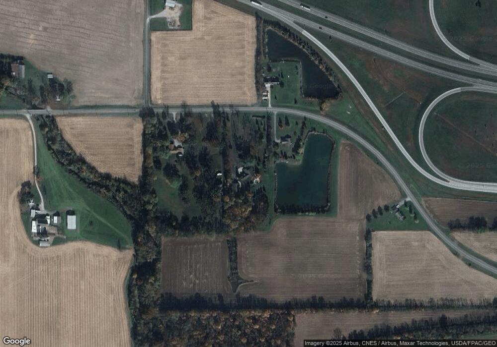
Map
Nearby Homes
- 12850 Canning Factory Rd
- 12916 Canning Factory Rd
- 12808 Canning Factory Rd
- 13132 Canning Factory Rd
- 12634 Canning Factory Rd
- 936 Sunrise Dr
- 1010 Springwood Ln
- 932 Sunrise Dr
- 934 Dearbaugh Ave
- 24 Summerplace Dr
- 13946 Hardin Pike Rd
- 928 Sunrise Dr
- 1007 Springwood Ln
- 932 Dearbaugh Ave
- 1109 Ridge St
- 139 Winterhaven Dr
- 930 Dearbaugh Ave
- 1114 Ridge St