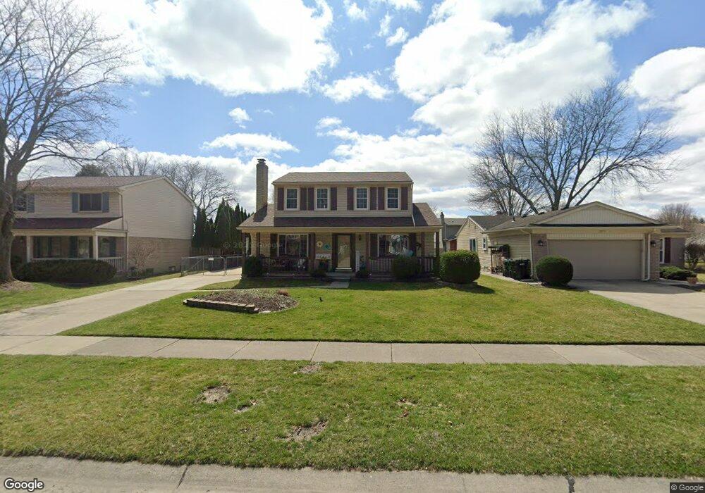
12866 Windsor Ct Sterling Heights, MI 48313
Estimated Value: $326,000 - $352,000
3
Beds
2
Baths
1,612
Sq Ft
$209/Sq Ft
Est. Value
About This Home
This home is located at 12866 Windsor Ct, Sterling Heights, MI 48313 and is currently estimated at $336,736, approximately $208 per square foot. 12866 Windsor Ct is a home located in Macomb County with nearby schools including Jack Harvey Elementary School, Bemis Junior High School, and Henry Ford II High School.
Ownership History
Date
Name
Owned For
Owner Type
Purchase Details
Closed on
Sep 25, 2017
Sold by
Ferrell Kristen and Ferrell Leonard T
Bought by
Ferrell Kristen
Current Estimated Value
Home Financials for this Owner
Home Financials are based on the most recent Mortgage that was taken out on this home.
Original Mortgage
$186,000
Outstanding Balance
$155,529
Interest Rate
3.86%
Mortgage Type
New Conventional
Estimated Equity
$181,207
Purchase Details
Closed on
Nov 8, 2004
Sold by
Karenko Alexander A and Karenko Mary Lynn
Bought by
Ferrell Leonard T and Ferrell Kristen
Create a Home Valuation Report for This Property
The Home Valuation Report is an in-depth analysis detailing your home's value as well as a comparison with similar homes in the area
Home Values in the Area
Average Home Value in this Area
Purchase History
| Date | Buyer | Sale Price | Title Company |
|---|---|---|---|
| Ferrell Kristen | -- | None Available | |
| Ferrell Leonard T | $206,000 | Metropolitan Title Company |
Source: Public Records
Mortgage History
| Date | Status | Borrower | Loan Amount |
|---|---|---|---|
| Open | Ferrell Kristen | $186,000 |
Source: Public Records
Tax History Compared to Growth
Tax History
| Year | Tax Paid | Tax Assessment Tax Assessment Total Assessment is a certain percentage of the fair market value that is determined by local assessors to be the total taxable value of land and additions on the property. | Land | Improvement |
|---|---|---|---|---|
| 2025 | $3,426 | $162,700 | $0 | $0 |
| 2024 | $3,133 | $152,800 | $0 | $0 |
| 2023 | $2,958 | $138,700 | $0 | $0 |
| 2022 | $3,083 | $123,000 | $0 | $0 |
| 2021 | $3,020 | $112,900 | $0 | $0 |
| 2020 | $2,693 | $112,100 | $0 | $0 |
| 2019 | $2,576 | $107,300 | $0 | $0 |
| 2018 | $2,793 | $98,500 | $0 | $0 |
| 2017 | $2,666 | $94,800 | $13,500 | $81,300 |
| 2016 | $2,576 | $94,800 | $0 | $0 |
| 2015 | -- | $88,500 | $0 | $0 |
| 2014 | -- | $72,300 | $0 | $0 |
Source: Public Records
Map
Nearby Homes
- 12646 Bender Dr
- 41222 Paign Dr
- 13104 Carnaby Ct
- 41744 Mae Wood Dr
- 13431 Melanie Dr
- 13374 Wessel Ct
- 13689 Ridgepoint Dr
- 42153 Mac Rae Dr
- 13722 Diversion Dr
- 13762 Halleck Dr
- 39839 Utica Rd
- 42222 Mac Rae Dr
- 39400 Utica Rd
- 13980 Amanda Dr
- 14160 Alpena Dr
- 42708 Wilmington Dr
- 11716 Clinton River Rd
- 42049 Farm Lane Ct
- 14239 Alpena Dr
- 13936 Grove Park Dr
- 12854 Windsor Ct
- 12878 Windsor Ct
- 12853 Herrod Dr
- 12842 Windsor Ct
- 12865 Herrod Dr
- 12841 Herrod Dr
- 40943 Auburndale Dr
- 40931 Auburndale Dr
- 12830 Windsor Ct
- 12863 Windsor Ct
- 12829 Herrod Dr
- 12875 Windsor Ct
- 12851 Windsor Ct
- 12887 Windsor Ct
- 12839 Windsor Ct
- 12818 Windsor Ct
- 12817 Herrod Dr
- 12899 Windsor Ct
- 12827 Windsor Ct
- 5113 Herfrod