12867 State Route 243 Chesapeake, OH 45619
Studio
--
Bath
1,800
Sq Ft
4.35
Acres Lot
About This Home
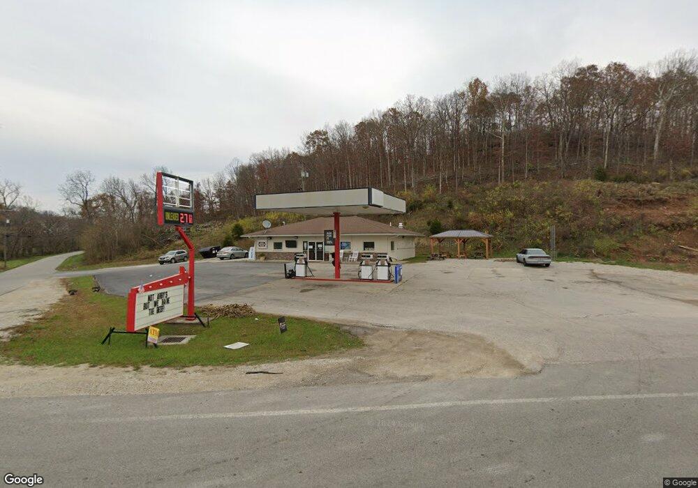
This home is located at 12867 State Route 243, Chesapeake, OH 45619. 12867 State Route 243 is a home located in Lawrence County with nearby schools including Chesapeake Elementary School, Chesapeake Middle School, and Chesapeake High School.
Ownership History
Date
Name
Owned For
Owner Type
Purchase Details
Closed on
Jun 1, 2023
Sold by
P & W Properties Of Getaway Llc
Bought by
Clc Property Holdings Inc
Home Financials for this Owner
Home Financials are based on the most recent Mortgage that was taken out on this home.
Original Mortgage
$808,000
Interest Rate
6.43%
Mortgage Type
Credit Line Revolving
Purchase Details
Closed on
Jun 9, 2016
Sold by
Wood Terry and Tennant Beverly
Bought by
P & W Properties Of Getaway Llc
Purchase Details
Closed on
Jan 19, 2007
Sold by
Adkins Richard M and Qullin Franklin W
Bought by
Wood Terry L and Wood Beverly G
Home Financials for this Owner
Home Financials are based on the most recent Mortgage that was taken out on this home.
Original Mortgage
$235,000
Interest Rate
5.93%
Mortgage Type
Commercial
Create a Home Valuation Report for This Property
The Home Valuation Report is an in-depth analysis detailing your home's value as well as a comparison with similar homes in the area
Purchase History
| Date | Buyer | Sale Price | Title Company |
|---|---|---|---|
| Clc Property Holdings Inc | $200,000 | None Listed On Document | |
| P & W Properties Of Getaway Llc | $39,737 | None Available | |
| Wood Terry L | $220,000 | Attorney |
Source: Public Records
Mortgage History
| Date | Status | Borrower | Loan Amount |
|---|---|---|---|
| Closed | Clc Property Holdings Inc | $808,000 | |
| Previous Owner | Wood Terry L | $235,000 |
Source: Public Records
Tax History
| Year | Tax Paid | Tax Assessment Tax Assessment Total Assessment is a certain percentage of the fair market value that is determined by local assessors to be the total taxable value of land and additions on the property. | Land | Improvement |
|---|---|---|---|---|
| 2025 | $2,067 | $66,906 | $11,683 | $55,223 |
| 2024 | -- | $66,900 | $11,680 | $55,220 |
| 2023 | $2,069 | $66,900 | $11,680 | $55,220 |
| 2022 | $2,064 | $66,900 | $11,680 | $55,220 |
| 2021 | $2,461 | $74,900 | $18,660 | $56,240 |
| 2020 | $2,470 | $74,900 | $18,660 | $56,240 |
| 2019 | $2,460 | $74,900 | $18,660 | $56,240 |
| 2018 | $982 | $28,640 | $18,660 | $9,980 |
| 2017 | $984 | $28,640 | $18,660 | $9,980 |
| 2016 | $920 | $28,640 | $18,660 | $9,980 |
| 2015 | $852 | $26,290 | $16,310 | $9,980 |
| 2014 | $852 | $26,290 | $16,310 | $9,980 |
| 2013 | $853 | $26,290 | $16,310 | $9,980 |
Source: Public Records
Map
Nearby Homes
- 2745 County Road 35
- 11301 State Route 243
- 3493 County Road 31
- 2978 County Road 31
- 26 Township Road 360
- 106 Township Road 1348
- 535 County Road 104
- 25 Township Road 1524
- 66 Township Road 1523
- 9040 Ohio 243
- 552 Township Road 158
- 301 Township Road 158
- 1565 County Road 124
- 30 Township Road 1482
- 6757 County Road 15
- 66 County Road 30
- 6897 County Road 15
- 7089 County Road 15
- 206 Private Dr
- 3781 County Road 31
- 12789 State Route 243
- 12935 State Route 243
- 44 Township Road 354
- 12958 Ohio 243
- 60 State Route 243
- 12958 State Route 243
- 19 Township Road 354
- 140 County Road 36
- 76 Township Road 354
- 13013 State Route 243
- 35 Township Road 354
- 15961 Ohio 243
- 119 Township Road 354
- 0 Township Road 354
- 85 Township Road 354
- 105 Township Road 354
- 154 Township Road 354
- 13022 State Route 243
- 130 Township Road 354
- 161 Township Road 354
Your Personal Tour Guide
Ask me questions while you tour the home.