1287 South St Tewksbury, MA 01876
Estimated Value: $875,000 - $1,046,000
4
Beds
3
Baths
3,336
Sq Ft
$286/Sq Ft
Est. Value
About This Home
This home is located at 1287 South St, Tewksbury, MA 01876 and is currently estimated at $952,930, approximately $285 per square foot. 1287 South St is a home located in Middlesex County with nearby schools including Heath-Brook Elementary School.
Ownership History
Date
Name
Owned For
Owner Type
Purchase Details
Closed on
Oct 28, 1998
Sold by
Est Odoherty Alberta I and Leblanc Aurele F
Bought by
Molander Scott M and Molander Kelly A
Current Estimated Value
Purchase Details
Closed on
Oct 29, 1997
Sold by
Est Leblanc Aurele and Leblanc Aurele F
Bought by
Leblanc Aurele F and Leblanc Loretta
Create a Home Valuation Report for This Property
The Home Valuation Report is an in-depth analysis detailing your home's value as well as a comparison with similar homes in the area
Home Values in the Area
Average Home Value in this Area
Purchase History
| Date | Buyer | Sale Price | Title Company |
|---|---|---|---|
| Molander Scott M | $133,000 | -- | |
| Leblanc Aurele F | $30,000 | -- |
Source: Public Records
Mortgage History
| Date | Status | Borrower | Loan Amount |
|---|---|---|---|
| Open | Leblanc Aurele F | $35,000 | |
| Open | Leblanc Aurele F | $210,000 | |
| Closed | Leblanc Aurele F | $196,000 |
Source: Public Records
Tax History Compared to Growth
Tax History
| Year | Tax Paid | Tax Assessment Tax Assessment Total Assessment is a certain percentage of the fair market value that is determined by local assessors to be the total taxable value of land and additions on the property. | Land | Improvement |
|---|---|---|---|---|
| 2025 | $9,882 | $747,500 | $305,900 | $441,600 |
| 2024 | $9,684 | $723,200 | $291,400 | $431,800 |
| 2023 | $9,399 | $666,600 | $264,800 | $401,800 |
| 2022 | $8,980 | $590,800 | $230,400 | $360,400 |
| 2021 | $16,958 | $565,500 | $209,500 | $356,000 |
| 2020 | $15,108 | $523,400 | $199,500 | $323,900 |
| 2019 | $7,603 | $480,000 | $189,900 | $290,100 |
| 2018 | $7,315 | $453,500 | $189,900 | $263,600 |
| 2017 | $7,304 | $447,800 | $189,900 | $257,900 |
| 2016 | $6,977 | $426,700 | $189,900 | $236,800 |
| 2015 | $6,402 | $391,100 | $184,200 | $206,900 |
| 2014 | $6,024 | $373,900 | $184,200 | $189,700 |
Source: Public Records
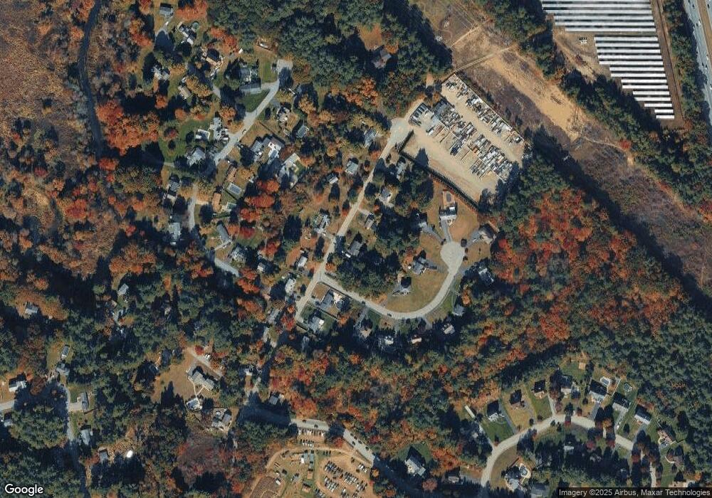
Map
Nearby Homes
- 93 Vale St
- 71 Apache Way Unit 71
- 177 Apache Way Unit 177
- 22 Carleton Rd
- 110 Royal Crest Cir
- 5 Kensington Way Unit 5
- 127 Caddy Ct
- 107 Eagle Dr Unit 107
- 93 Fairway Dr
- 14 Regis Rd
- 20 Oakland Ave
- 16 Eagle Dr
- 15 Pinewood Rd
- 1 Summer St
- 32 Decarolis Dr
- 8 McDonald Rd
- 5 Oak St
- 3 Adelman Rd
- 4 Hazelwood Cir
- 18 Dale St Unit 4G
- 1271 South St
- 1291 South St
- 1300 South St
- 1294 South St
- 1253 South St
- 1305 South St
- 30 Fieldstone Cir
- 50 Fieldstone Cir
- 40 Fieldstone Cir
- 1292 South St
- 1304 South St
- 11 Fieldstone Cir
- 1306 South St
- 1251 South St
- 19 Moonlight Dr
- 1311 South St
- 60 Fieldstone Cir
- 25 Fieldstone Cir
- 1286 South St
- 1245 South St