1287 Us Highway 64 E Mocksville, NC 27028
Estimated Value: $425,000 - $519,000
4
Beds
2
Baths
1,813
Sq Ft
$254/Sq Ft
Est. Value
About This Home
This home is located at 1287 Us Highway 64 E, Mocksville, NC 27028 and is currently estimated at $461,312, approximately $254 per square foot. 1287 Us Highway 64 E is a home located in Davie County with nearby schools including Cornatzer Elementary School, William Ellis Middle School, and Davie County High School.
Ownership History
Date
Name
Owned For
Owner Type
Purchase Details
Closed on
Dec 27, 2017
Sold by
Bostian Richard L and Bostian Susan G
Bought by
Lyday Jennifer Barker and Lyday Stephen Andrew
Current Estimated Value
Home Financials for this Owner
Home Financials are based on the most recent Mortgage that was taken out on this home.
Original Mortgage
$217,000
Outstanding Balance
$182,935
Interest Rate
3.9%
Mortgage Type
New Conventional
Estimated Equity
$278,377
Purchase Details
Closed on
Oct 28, 2005
Sold by
Mcclamrock Nellie Jo
Bought by
Mcclamarock Michael R and Mcclamarock Kenneth R
Purchase Details
Closed on
May 24, 2005
Sold by
Mcclamrock Nellie Jo
Bought by
Mcclamrock Michael R and Mcclamrock Kenneth R
Create a Home Valuation Report for This Property
The Home Valuation Report is an in-depth analysis detailing your home's value as well as a comparison with similar homes in the area
Home Values in the Area
Average Home Value in this Area
Purchase History
| Date | Buyer | Sale Price | Title Company |
|---|---|---|---|
| Lyday Jennifer Barker | $310,000 | None Available | |
| Mcclamarock Michael R | -- | -- | |
| Mcclamrock Michael R | -- | -- |
Source: Public Records
Mortgage History
| Date | Status | Borrower | Loan Amount |
|---|---|---|---|
| Open | Lyday Jennifer Barker | $217,000 |
Source: Public Records
Tax History Compared to Growth
Tax History
| Year | Tax Paid | Tax Assessment Tax Assessment Total Assessment is a certain percentage of the fair market value that is determined by local assessors to be the total taxable value of land and additions on the property. | Land | Improvement |
|---|---|---|---|---|
| 2025 | $2,600 | $377,600 | $219,460 | $158,140 |
| 2024 | $1,810 | $234,200 | $110,630 | $123,570 |
| 2023 | $1,810 | $234,200 | $110,630 | $123,570 |
| 2022 | $1,810 | $234,200 | $110,630 | $123,570 |
| 2021 | $1,810 | $234,200 | $110,630 | $123,570 |
| 2020 | $1,741 | $223,770 | $110,630 | $113,140 |
| 2019 | $1,741 | $223,770 | $110,630 | $113,140 |
| 2018 | $1,741 | $223,770 | $110,630 | $113,140 |
| 2017 | $1,719 | $223,770 | $0 | $0 |
| 2016 | $1,772 | $230,790 | $0 | $0 |
| 2015 | $1,772 | $230,790 | $0 | $0 |
| 2014 | -- | $230,790 | $0 | $0 |
| 2013 | -- | $230,790 | $0 | $0 |
Source: Public Records
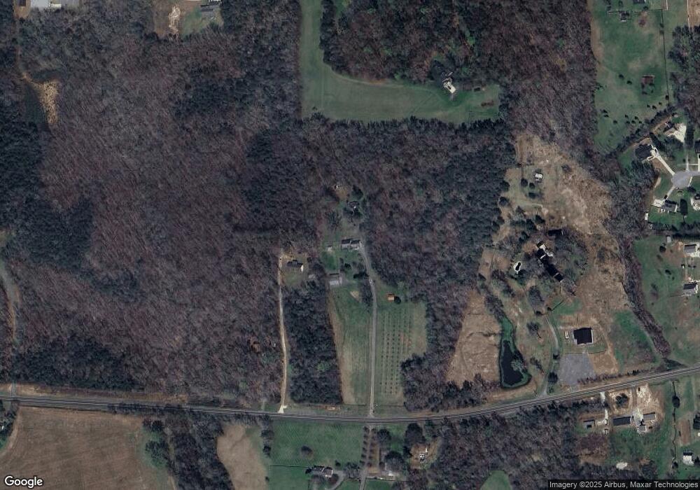
Map
Nearby Homes
- KYLE Plan at Hudson Glen
- BELHAVEN Plan at Hudson Glen
- PENWELL Plan at Hudson Glen
- HAYDEN Plan at Hudson Glen
- CALI Plan at Hudson Glen
- 137 Chessie Rd
- 191 Big Laurel Dr
- 193 Big Laurel Dr
- 170 Chessie Rd
- 168 Chessie Rd
- 194 Big Laurel Dr
- 192 Big Laurel Dr
- 190 Big Laurel Dr
- 173 Big Laurel Dr
- 161 Big Laurel Dr
- 176 Big Laurel Dr
- 160 Chessie Rd
- 166 Chessie Rd
- 158 John Crotts Rd
- 109 Marbrook Dr
- 4.39 AC Hwy 64 Hwy
- 1251 Us Highway 64 E
- 372 John Crotts Rd
- 1347 Us Highway 64 E
- 1347 Us Highway 64 E
- 1308 Us Highway 64 E
- 1292 Us Highway 64 E
- 1288 Us Highway 64 E
- 332 John Crotts Rd
- 268 John Crotts Rd
- 184 Marbrook Dr
- 1366 U S 64
- 212 John Crotts Rd
- 187 Marbrook Dr
- 000 E Hwy 64 Hwy
- 0000 John Crotts Rd
- 01 John Crotts Rd
- 02 John Crotts Rd
- 182 Marbrook Dr
- 1413 Us Highway 64 E