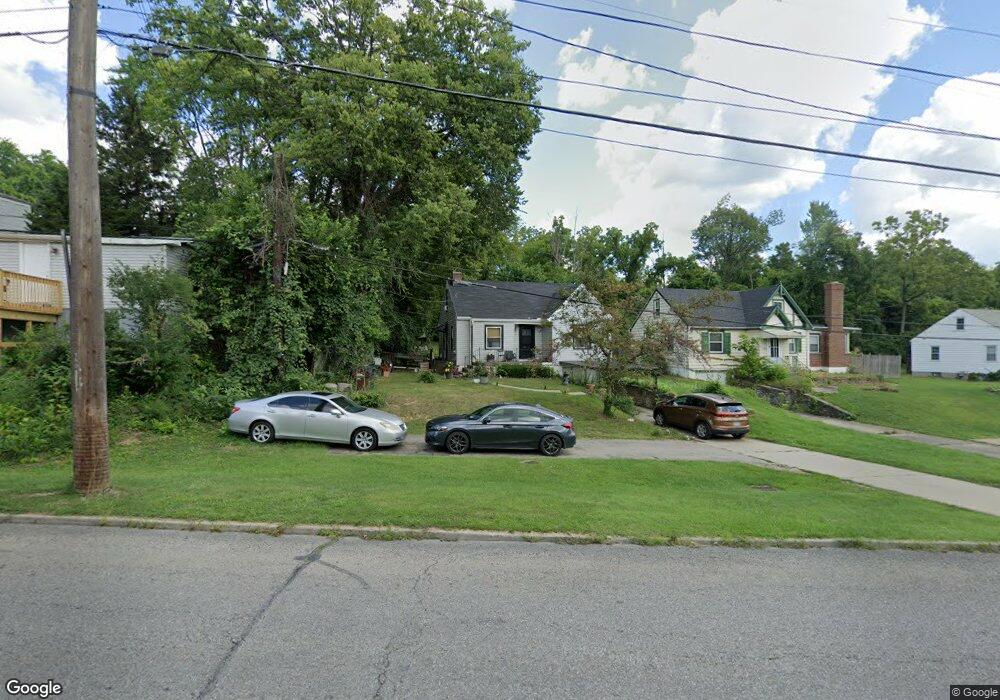
1288 Compton Rd Cincinnati, OH 45231
Estimated Value: $176,704 - $220,000
3
Beds
1
Bath
1,789
Sq Ft
$106/Sq Ft
Est. Value
About This Home
This home is located at 1288 Compton Rd, Cincinnati, OH 45231 and is currently estimated at $189,176, approximately $105 per square foot. 1288 Compton Rd is a home located in Hamilton County with nearby schools including Mt Healthy High School and John Paul II Catholic School.
Ownership History
Date
Name
Owned For
Owner Type
Purchase Details
Closed on
Jun 26, 2000
Sold by
Ihle Brian
Bought by
Harris Yvonne
Current Estimated Value
Home Financials for this Owner
Home Financials are based on the most recent Mortgage that was taken out on this home.
Original Mortgage
$60,000
Outstanding Balance
$23,539
Interest Rate
10.5%
Estimated Equity
$165,637
Purchase Details
Closed on
Mar 8, 2000
Sold by
James Tammy and Mcgee Oliver
Bought by
Ihle Brian
Create a Home Valuation Report for This Property
The Home Valuation Report is an in-depth analysis detailing your home's value as well as a comparison with similar homes in the area
Home Values in the Area
Average Home Value in this Area
Purchase History
| Date | Buyer | Sale Price | Title Company |
|---|---|---|---|
| Harris Yvonne | $75,000 | -- | |
| Ihle Brian | $57,000 | -- |
Source: Public Records
Mortgage History
| Date | Status | Borrower | Loan Amount |
|---|---|---|---|
| Open | Harris Yvonne | $60,000 | |
| Closed | Harris Yvonne | $15,000 |
Source: Public Records
Tax History
| Year | Tax Paid | Tax Assessment Tax Assessment Total Assessment is a certain percentage of the fair market value that is determined by local assessors to be the total taxable value of land and additions on the property. | Land | Improvement |
|---|---|---|---|---|
| 2025 | $2,387 | $40,926 | $7,648 | $33,278 |
| 2024 | $2,365 | $40,926 | $7,648 | $33,278 |
| 2023 | $2,247 | $40,926 | $7,648 | $33,278 |
| 2022 | $1,837 | $24,063 | $6,944 | $17,119 |
| 2021 | $1,788 | $24,063 | $6,944 | $17,119 |
| 2020 | $1,815 | $24,063 | $6,944 | $17,119 |
| 2019 | $1,646 | $20,392 | $5,884 | $14,508 |
| 2018 | $1,655 | $20,392 | $5,884 | $14,508 |
| 2017 | $1,571 | $20,392 | $5,884 | $14,508 |
| 2016 | $1,885 | $24,157 | $6,146 | $18,011 |
| 2015 | $1,900 | $24,157 | $6,146 | $18,011 |
| 2014 | $1,891 | $24,157 | $6,146 | $18,011 |
| 2013 | $1,948 | $25,428 | $6,468 | $18,960 |
Source: Public Records
Map
Nearby Homes
- 8881 Ebro Ct
- 8845 Ebro Ct
- 8844 Ebro Ct
- 7352 Clovernook Ave
- 8943 Monsanto Dr
- 8771 Desoto Dr
- 1275 Frost Ct
- 8491 Daly Rd
- 8719 Hood Ct
- 1123 Compton Rd
- 1378 Adams Rd
- 1461 Kinney Ave
- 1458 Van Fleet Ave
- 1115 Compton Rd
- 7849 Seward Ave
- 1101 Meadowind Ct
- 1297 Landis Ln
- 8754 Monsanto Dr
- 7508 Elizabeth St
- 1457 Adams Rd
Your Personal Tour Guide
Ask me questions while you tour the home.