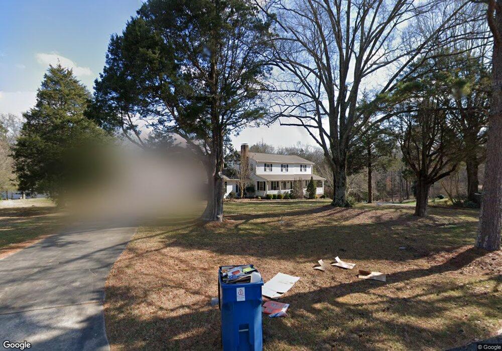
1288 Irish Potato Rd Concord, NC 28025
Estimated Value: $562,000 - $730,000
5
Beds
3
Baths
5,074
Sq Ft
$123/Sq Ft
Est. Value
About This Home
This home is located at 1288 Irish Potato Rd, Concord, NC 28025 and is currently estimated at $624,520, approximately $123 per square foot. 1288 Irish Potato Rd is a home located in Cabarrus County with nearby schools including W.M. Irvin Elementary School, Mount Pleasant Middle School, and Mount Pleasant High School.
Ownership History
Date
Name
Owned For
Owner Type
Purchase Details
Closed on
Oct 1, 1983
Current Estimated Value
Create a Home Valuation Report for This Property
The Home Valuation Report is an in-depth analysis detailing your home's value as well as a comparison with similar homes in the area
Home Values in the Area
Average Home Value in this Area
Purchase History
| Date | Buyer | Sale Price | Title Company |
|---|---|---|---|
| -- | $10,000 | -- |
Source: Public Records
Tax History Compared to Growth
Tax History
| Year | Tax Paid | Tax Assessment Tax Assessment Total Assessment is a certain percentage of the fair market value that is determined by local assessors to be the total taxable value of land and additions on the property. | Land | Improvement |
|---|---|---|---|---|
| 2025 | $3,178 | $484,410 | $77,530 | $406,880 |
| 2024 | $3,178 | $484,410 | $77,530 | $406,880 |
| 2023 | $2,447 | $298,470 | $45,610 | $252,860 |
| 2022 | $2,447 | $298,470 | $45,610 | $252,860 |
| 2021 | $2,447 | $298,470 | $45,610 | $252,860 |
| 2020 | $2,388 | $298,470 | $45,610 | $252,860 |
| 2019 | $1,980 | $247,480 | $41,050 | $206,430 |
| 2018 | $1,930 | $247,480 | $41,050 | $206,430 |
| 2017 | $1,881 | $247,480 | $41,050 | $206,430 |
| 2016 | $1,881 | $237,260 | $38,770 | $198,490 |
| 2015 | $1,593 | $237,260 | $38,770 | $198,490 |
| 2014 | $1,593 | $237,260 | $38,770 | $198,490 |
Source: Public Records
Map
Nearby Homes
- 1300 Irish Potato Rd
- 1660 Songwood Rd
- 2248 Circle r Rd
- 1787 Saint Johns Church Rd
- 3251 Van Tassel Dr
- 4240 Nc Hwy 73 None E
- 43 Crane Ct
- 3500 Timber Creek Trail
- 5543 Arnold Way
- 5573 Arnold Way
- 108 Kimble Ct
- 5527 Arnold Way
- 5614 Arnold Way
- 5519 Arnold Way
- The Coleman Plan at Green Acres
- The Benson II Plan at Green Acres
- The James Plan at Green Acres
- The McGinnis Plan at Green Acres
- The Landen Plan at Green Acres
- The Caldwell Plan at Green Acres
- LOT 10 Irish Woods Dr
- 4049 Irish Woods Dr
- 4000 Irish Woods Dr
- 4101 Irish Woods Dr
- 1239 Emerald Dr
- 1184 Irish Potato Rd
- 1175 Emerald Dr
- 4119 Irish Woods Dr
- 1240 Emerald Dr
- 1200 Emerald Dr
- 10 Irish Woods Dr Unit Lot 10
- 1122 Irish Potato Rd
- 1209 Irish Potato Rd
- 1115 Emerald Dr
- 1120 Emerald Dr
- 1080 Irish Potato Rd
- 4139 Irish Woods Dr
- 4039 Mills Cir
- 1065 Emerald Dr
- 4150 Irish Woods Dr