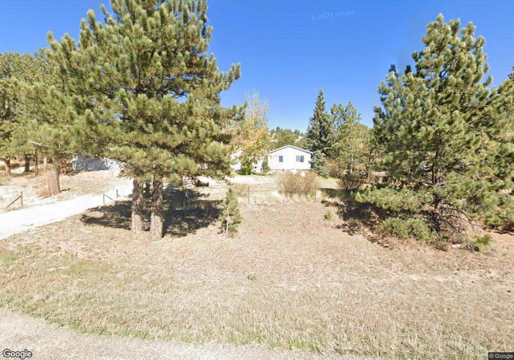
12889 State Highway 96 Westcliffe, CO 81252
Estimated Value: $258,000
4
Beds
3
Baths
1,648
Sq Ft
$157/Sq Ft
Est. Value
About This Home
This home is located at 12889 State Highway 96, Westcliffe, CO 81252 and is currently priced at $258,000, approximately $156 per square foot. 12889 State Highway 96 is a home located in Custer County with nearby schools including Custer County Elementary School, Custer Middle School, and Custer County High School.
Ownership History
Date
Name
Owned For
Owner Type
Purchase Details
Closed on
Sep 27, 2019
Sold by
Jacober Alice Mae
Bought by
Attebery Sandra Kay and Attebery Lynn Earl
Current Estimated Value
Home Financials for this Owner
Home Financials are based on the most recent Mortgage that was taken out on this home.
Original Mortgage
$96,000
Outstanding Balance
$84,272
Interest Rate
3.6%
Mortgage Type
New Conventional
Purchase Details
Closed on
Jun 1, 1972
Bought by
Jacober Edwin
Create a Home Valuation Report for This Property
The Home Valuation Report is an in-depth analysis detailing your home's value as well as a comparison with similar homes in the area
Home Values in the Area
Average Home Value in this Area
Purchase History
| Date | Buyer | Sale Price | Title Company |
|---|---|---|---|
| Attebery Sandra Kay | $120,000 | None Listed On Document | |
| Jacober Edwin | $10,000 | -- |
Source: Public Records
Mortgage History
| Date | Status | Borrower | Loan Amount |
|---|---|---|---|
| Open | Attebery Sandra Kay | $96,000 |
Source: Public Records
Tax History Compared to Growth
Tax History
| Year | Tax Paid | Tax Assessment Tax Assessment Total Assessment is a certain percentage of the fair market value that is determined by local assessors to be the total taxable value of land and additions on the property. | Land | Improvement |
|---|---|---|---|---|
| 2024 | $715 | $15,040 | $380 | $14,660 |
| 2023 | $715 | $15,040 | $0 | $0 |
| 2022 | $797 | $12,370 | $400 | $11,970 |
| 2021 | $818 | $12,370 | $400 | $11,970 |
| 2020 | $766 | $11,730 | $400 | $11,330 |
| 2019 | $762 | $11,730 | $400 | $11,330 |
| 2018 | $667 | $10,210 | $410 | $9,800 |
| 2017 | $647 | $10,208 | $405 | $9,803 |
| 2016 | $673 | $11,050 | $450 | $10,600 |
| 2015 | $676 | $138,734 | $5,625 | $133,109 |
| 2012 | $679 | $142,201 | $5,625 | $136,576 |
Source: Public Records
Map
Nearby Homes
- 12777 Colorado 96
- 977 Co Rd 281
- 12237 Colorado 96
- 12235 Highway 96
- Tract 5 Patriot Cir
- 1201 Eagle Valley Rd
- Tract 4 Patriot Cir
- 3549 Eagle Springs Rd
- 12511 Cr 328
- 1485 Eagle Valley Rd
- 1485 Eagle Valley Rd Unit 36
- 690 Eagles Gate Rd
- 1115 Eagles Gate Rd
- 7700 Junkins Park Unit 2
- 2299 County Road 328
- 10000 Colorado 96
- 2299 Cr 328
- 188 Centennial Cir
- 10000 State Highway 96
- 640 County Road 356
- 12877 State Highway 96
- 14360 County Road 328
- 237 County Road 328
- 254 County Road 328
- 12340 State Highway 96
- 175 County Road 281
- 14081 State Highway 96
- 0 County Road 281
- 12281 State Highway 96
- 12205 Colorado 96
- 12205 State Highway 96
- 12205 State Highway 96
- 13800 Cr 328
- 13800 County Road 328
- 7485 Eagle Springs Rd
- 0 Eagle Springs Rd Unit C226846
- 0 Eagle Springs Rd Unit 8062106
- 0 Eagle Springs Rd Unit 50 185077
- 0 Eagle Springs Rd Unit 4432535
- 0 Eagle Springs Rd Unit 4362899